Distance between  Foxground and
  Brayton
46.10 mi Straight Distance
68.40 mi Driving Distance
1 hour 28 mins Estimated Driving Time
The straight distance between Foxground (New South Wales) and Brayton (New South Wales) is 46.10 mi, but the driving distance is 68.40 mi.
It takes to go from Foxground to Brayton.
Driving directions from Foxground to Brayton
Distance in kilometers
Straight distance: 74.18 km. Route distance: 110.05 km
Foxground, Australia
Latitude: -34.7174 // Longitude: 150.771
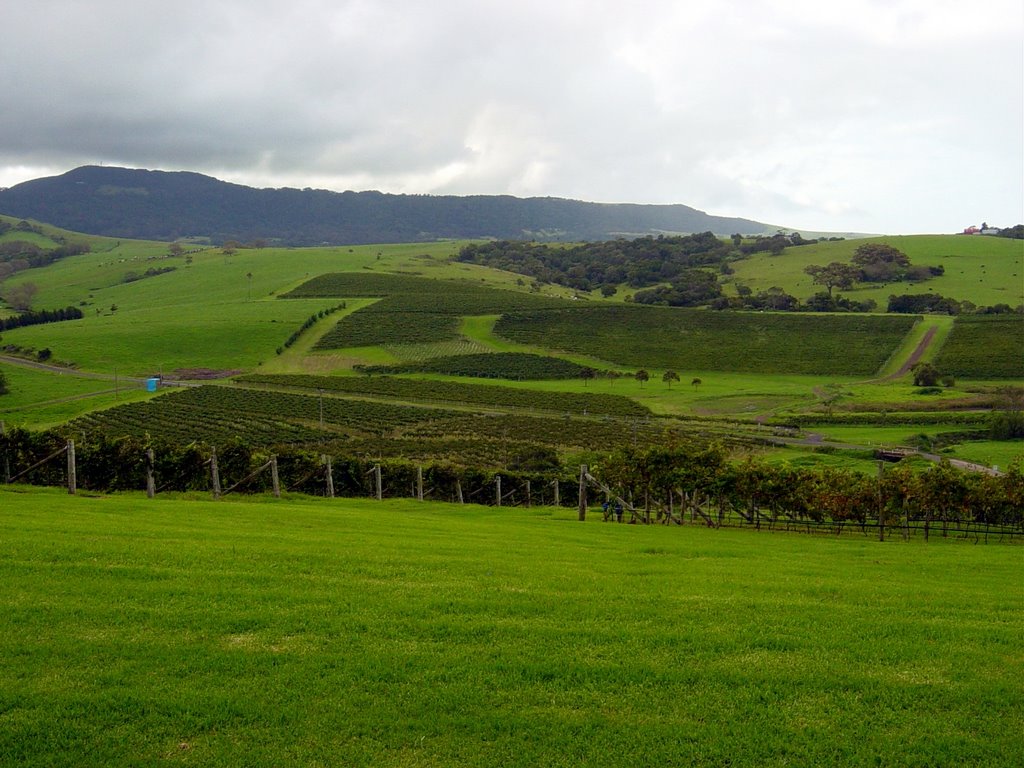
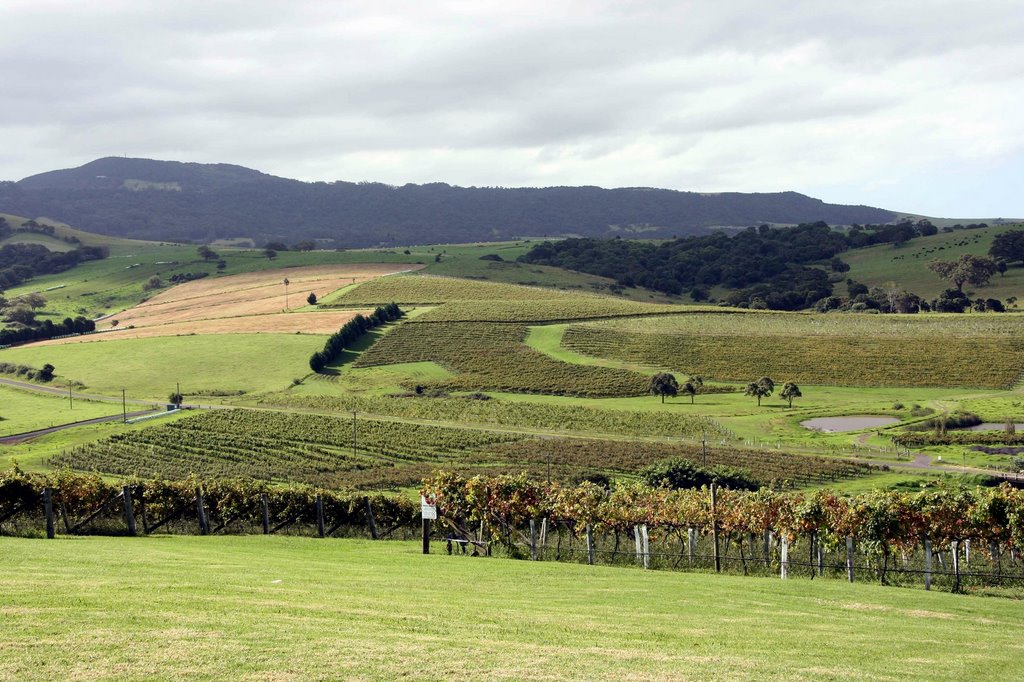
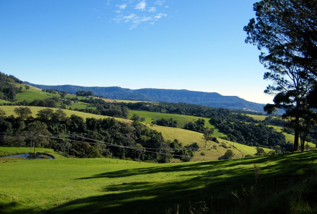
Photos of Foxground
Foxground Weather

Predicción: Broken clouds
Temperatura: 12.4°
Humedad: 83%
Hora actual: 07:38 AM
Amanece: 06:23 AM
Anochece: 05:28 PM
Brayton, Australia
Latitude: -34.6477 // Longitude: 149.964
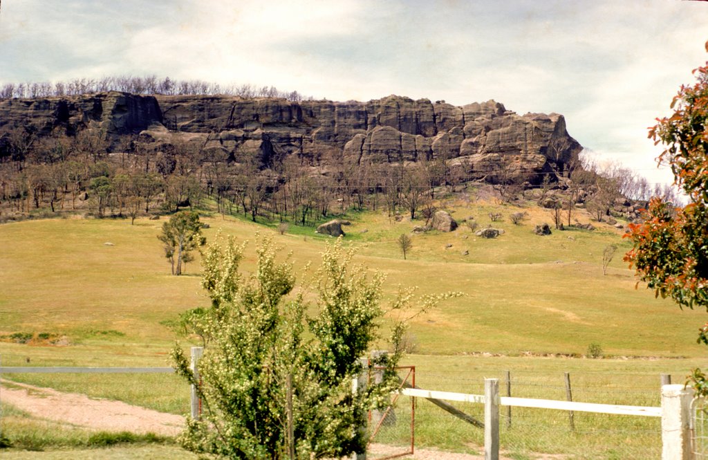
Photos of Brayton
Brayton Weather

Predicción: Overcast clouds
Temperatura: 6.7°
Humedad: 70%
Hora actual: 07:38 AM
Amanece: 06:26 AM
Anochece: 05:31 PM


