Distance between  Flynn and
  Poowong
51.94 mi Straight Distance
67.93 mi Driving Distance
1 hour 21 mins Estimated Driving Time
The straight distance between Flynn (Victoria) and Poowong (Victoria) is 51.94 mi, but the driving distance is 67.93 mi.
It takes to go from Flynn to Poowong.
Driving directions from Flynn to Poowong
Distance in kilometers
Straight distance: 83.57 km. Route distance: 109.29 km
Flynn, Australia
Latitude: -38.1682 // Longitude: 146.695
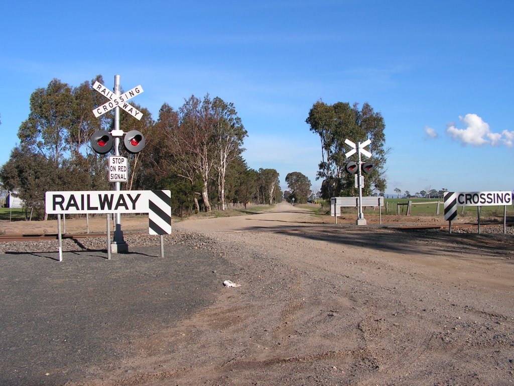
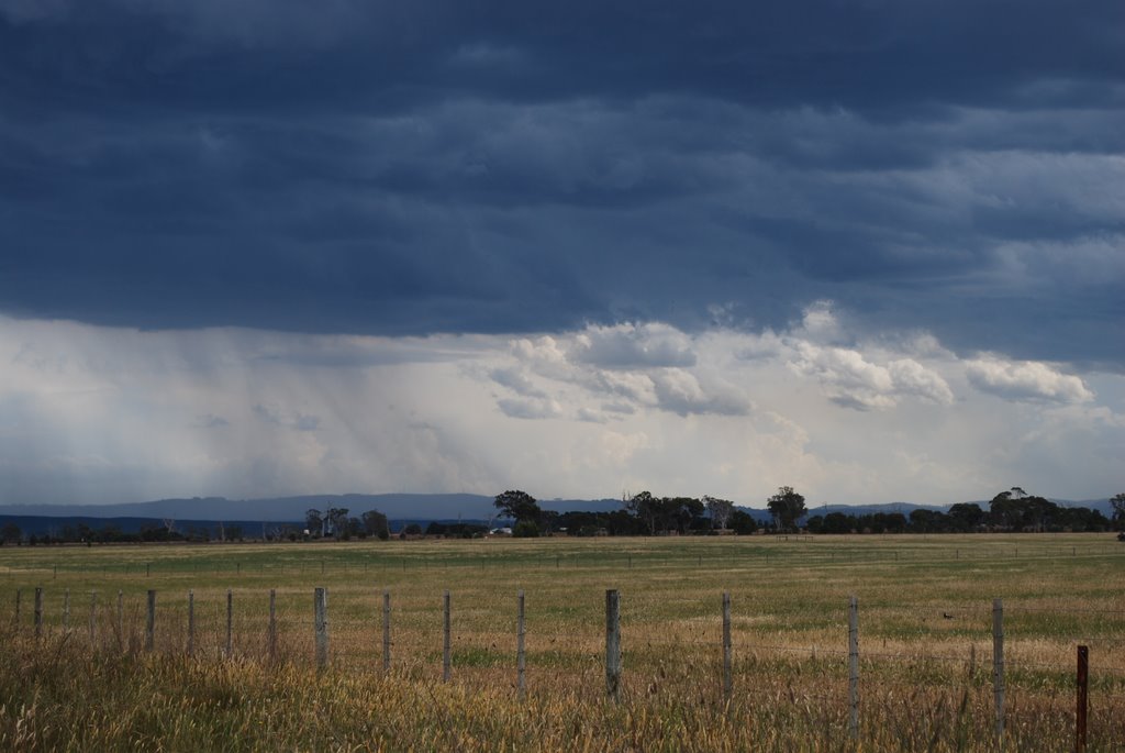
Photos of Flynn
Flynn Weather

Predicción: Overcast clouds
Temperatura: 11.1°
Humedad: 90%
Hora actual: 12:00 AM
Amanece: 08:41 PM
Anochece: 07:44 AM
Poowong, Australia
Latitude: -38.3431 // Longitude: 145.764
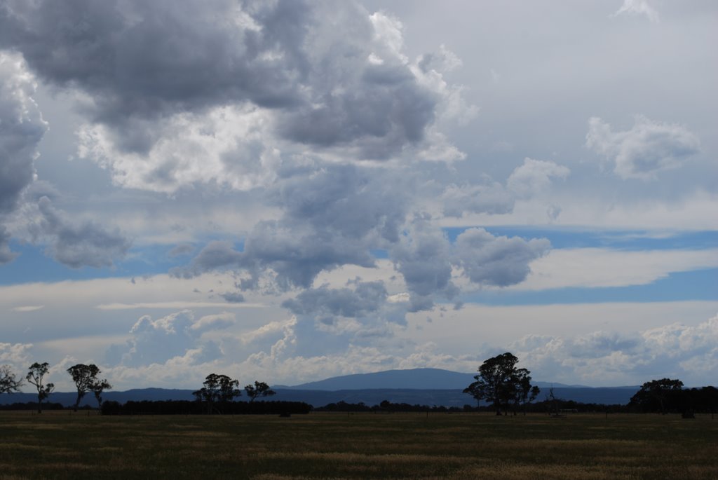
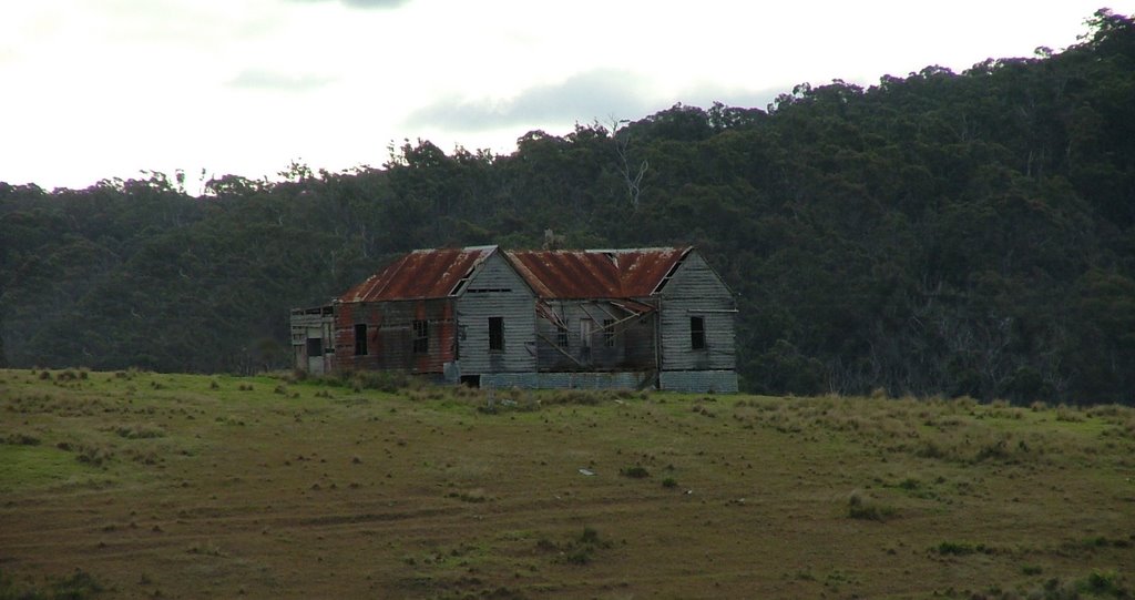
Photos of Poowong
Poowong Weather

Predicción: Light rain
Temperatura: 10.6°
Humedad: 88%
Hora actual: 01:25 AM
Amanece: 06:46 AM
Anochece: 05:46 PM


