Distance between  Ferguson and
  Springdallah
1,582.75 mi Straight Distance
2,043.83 mi Driving Distance
1 day 8 hours Estimated Driving Time
The straight distance between Ferguson (Western Australia) and Springdallah (Victoria) is 1,582.75 mi, but the driving distance is 2,043.83 mi.
It takes to go from Ferguson to Springdallah.
Driving directions from Ferguson to Springdallah
Distance in kilometers
Straight distance: 2,546.65 km. Route distance: 3,288.52 km
Ferguson, Australia
Latitude: -33.446 // Longitude: 115.85
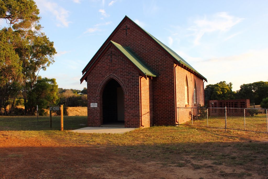
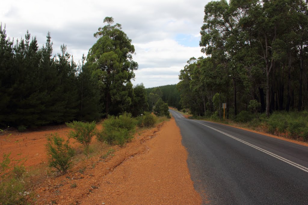
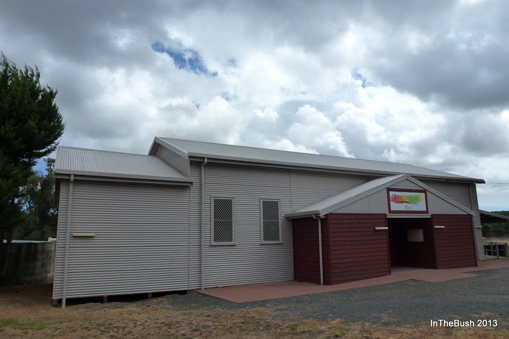
Photos of Ferguson
Ferguson Weather

Predicción: Overcast clouds
Temperatura: 31.7°
Humedad: 16%
Hora actual: 12:00 AM
Amanece: 10:41 PM
Anochece: 09:50 AM
Springdallah, Australia
Latitude: -37.7449 // Longitude: 143.631
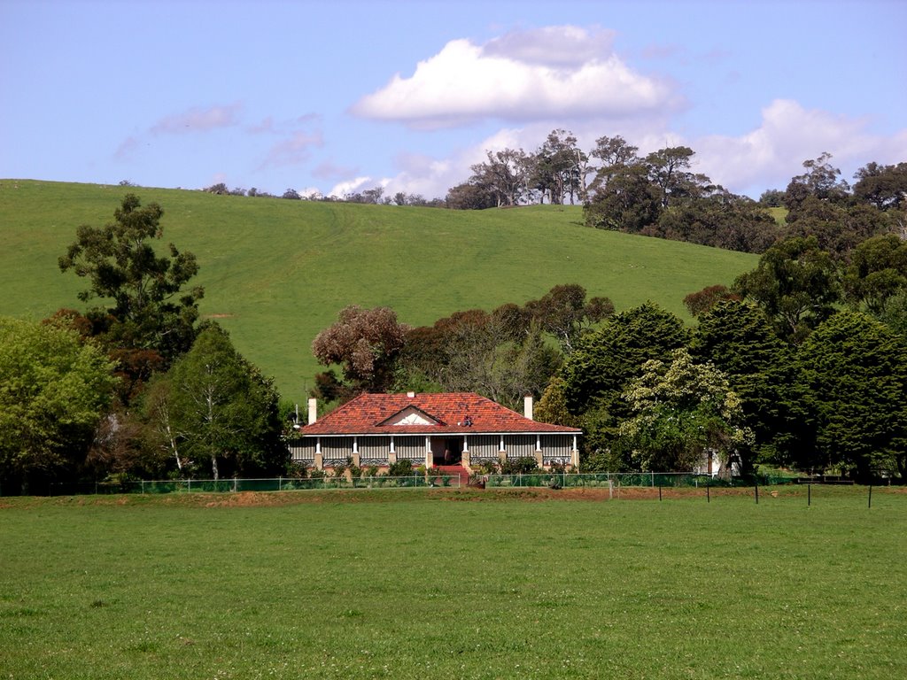
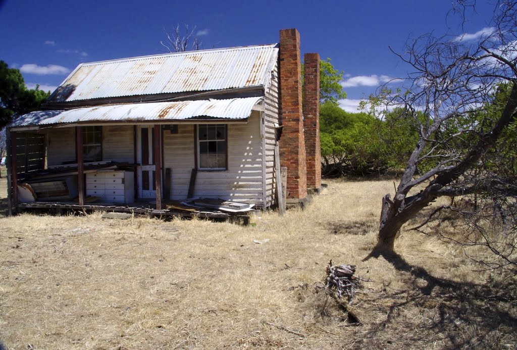
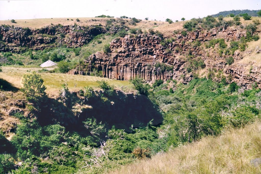
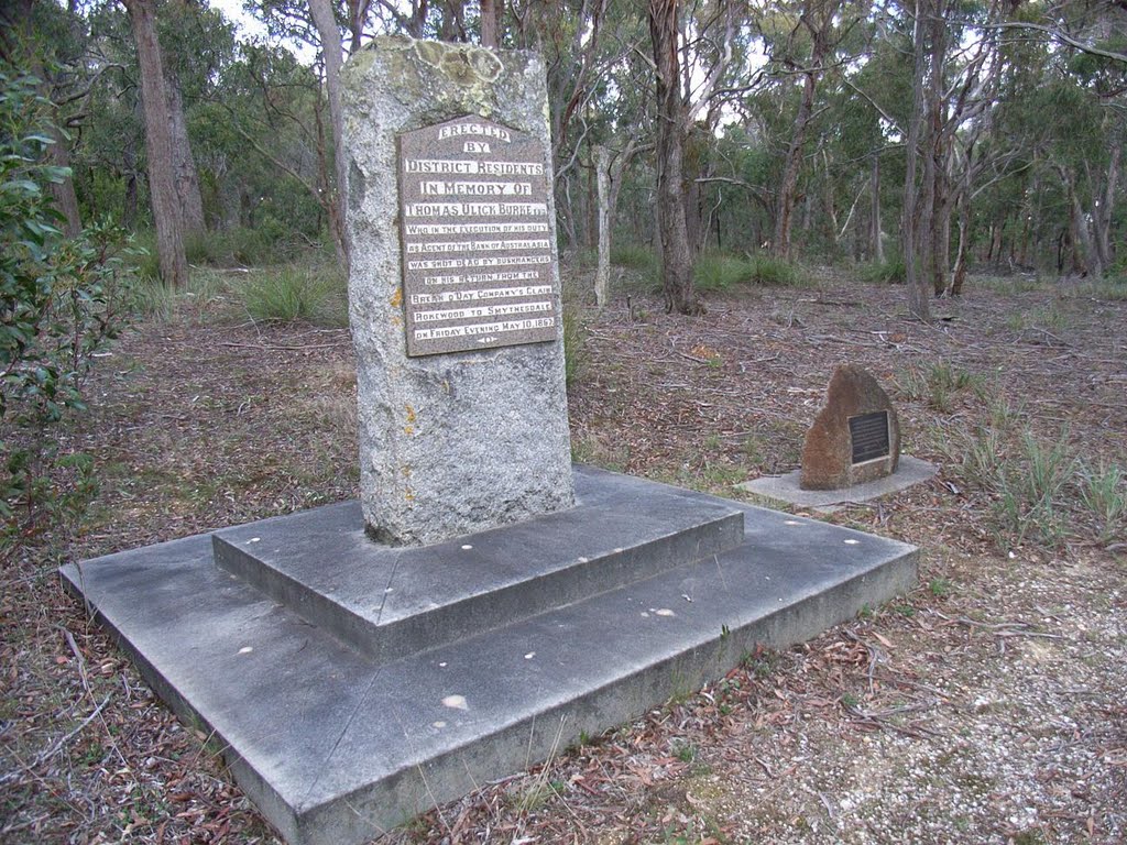
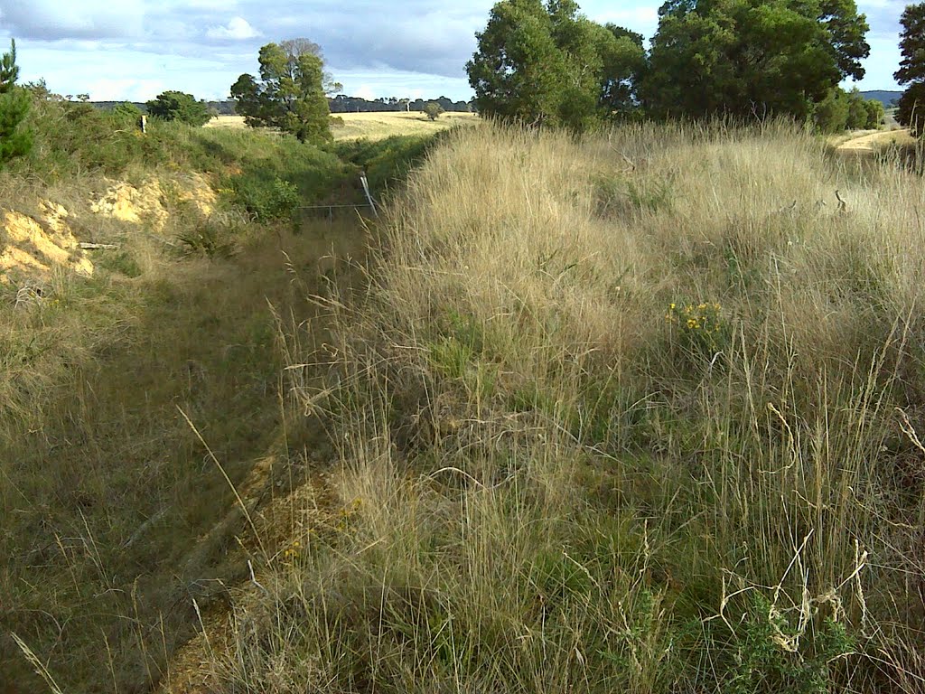
Photos of Springdallah
Springdallah Weather

Predicción: Overcast clouds
Temperatura: 11.8°
Humedad: 73%
Hora actual: 04:41 PM
Amanece: 06:54 AM
Anochece: 05:54 PM


