Distance between  Exeter and
  Earlston
292.97 mi Straight Distance
357.90 mi Driving Distance
5 hours 40 mins Estimated Driving Time
The straight distance between Exeter (New South Wales) and Earlston (Victoria) is 292.97 mi, but the driving distance is 357.90 mi.
It takes 5 hours 42 mins to go from Exeter to Earlston.
Driving directions from Exeter to Earlston
Distance in kilometers
Straight distance: 471.39 km. Route distance: 575.87 km
Exeter, Australia
Latitude: -34.6161 // Longitude: 150.316
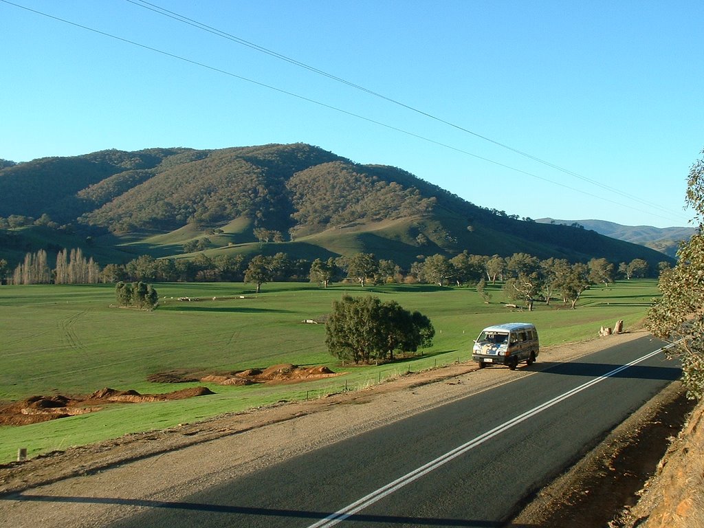
Photos of Exeter
Exeter Weather

Predicción: Overcast clouds
Temperatura: 10.1°
Humedad: 88%
Hora actual: 04:59 AM
Amanece: 06:23 AM
Anochece: 05:32 PM
Earlston, Australia
Latitude: -36.5381 // Longitude: 145.668
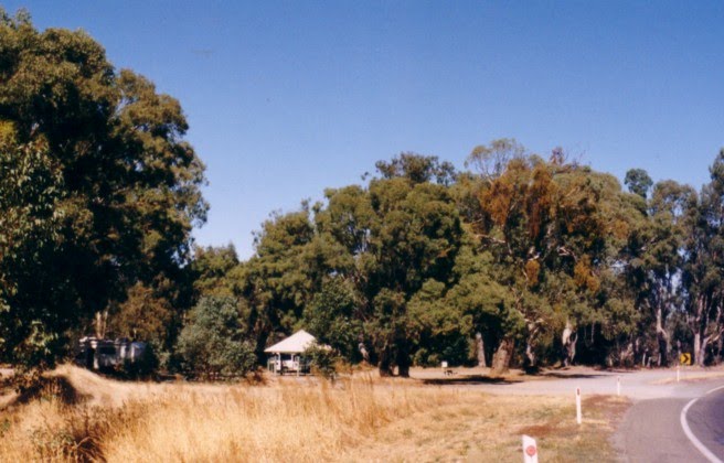
Photos of Earlston
Earlston Weather

Predicción: Overcast clouds
Temperatura: 10.8°
Humedad: 84%
Hora actual: 10:00 AM
Amanece: 06:44 AM
Anochece: 05:49 PM


