Distance between  Eucla and
  Bailup
738.88 mi Straight Distance
826.10 mi Driving Distance
13 hours 44 mins Estimated Driving Time
The straight distance between Eucla (Western Australia) and Bailup (Western Australia) is 738.88 mi, but the driving distance is 826.10 mi.
It takes to go from Eucla to Bailup.
Driving directions from Eucla to Bailup
Distance in kilometers
Straight distance: 1,188.86 km. Route distance: 1,329.19 km
Eucla, Australia
Latitude: -31.6771 // Longitude: 128.889
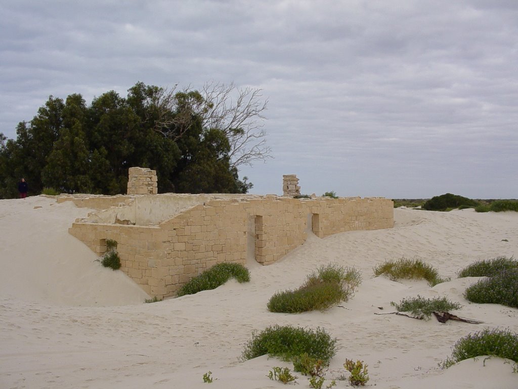
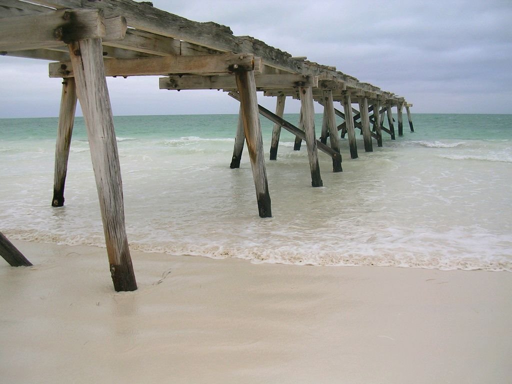
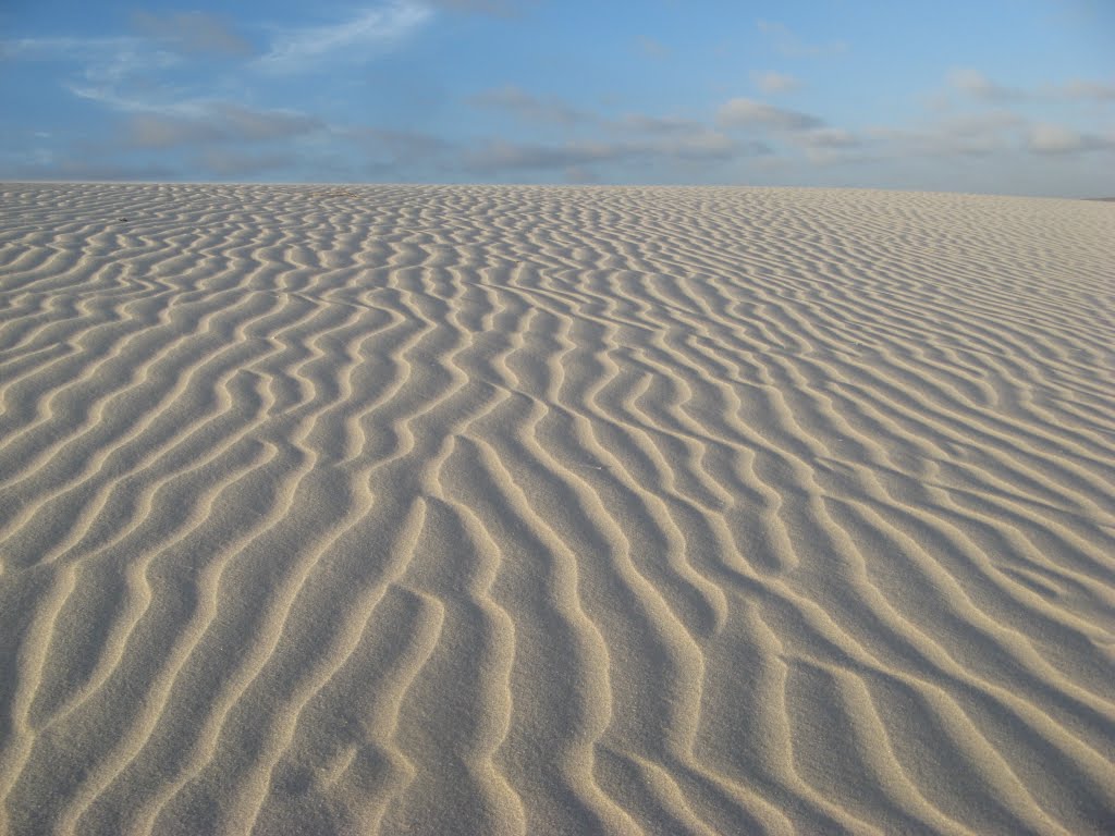
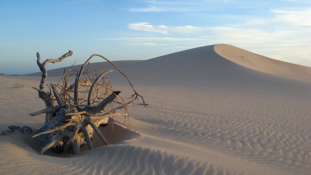
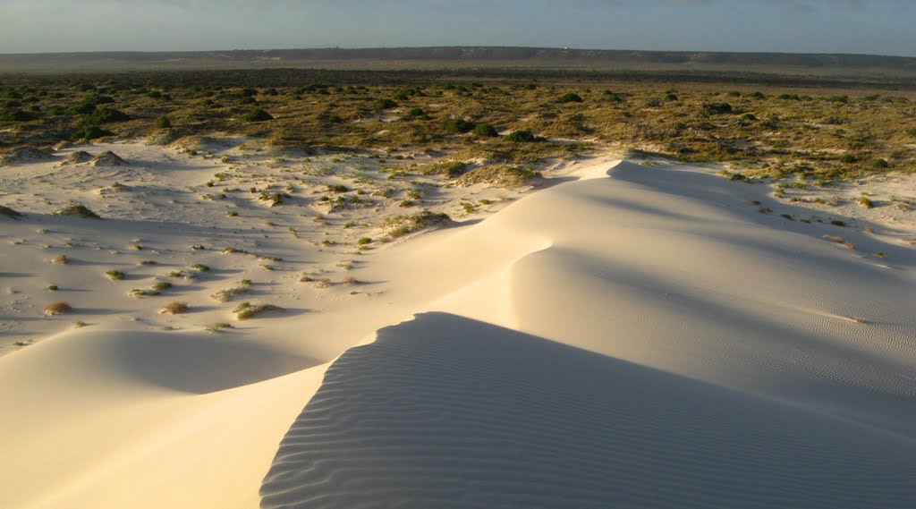
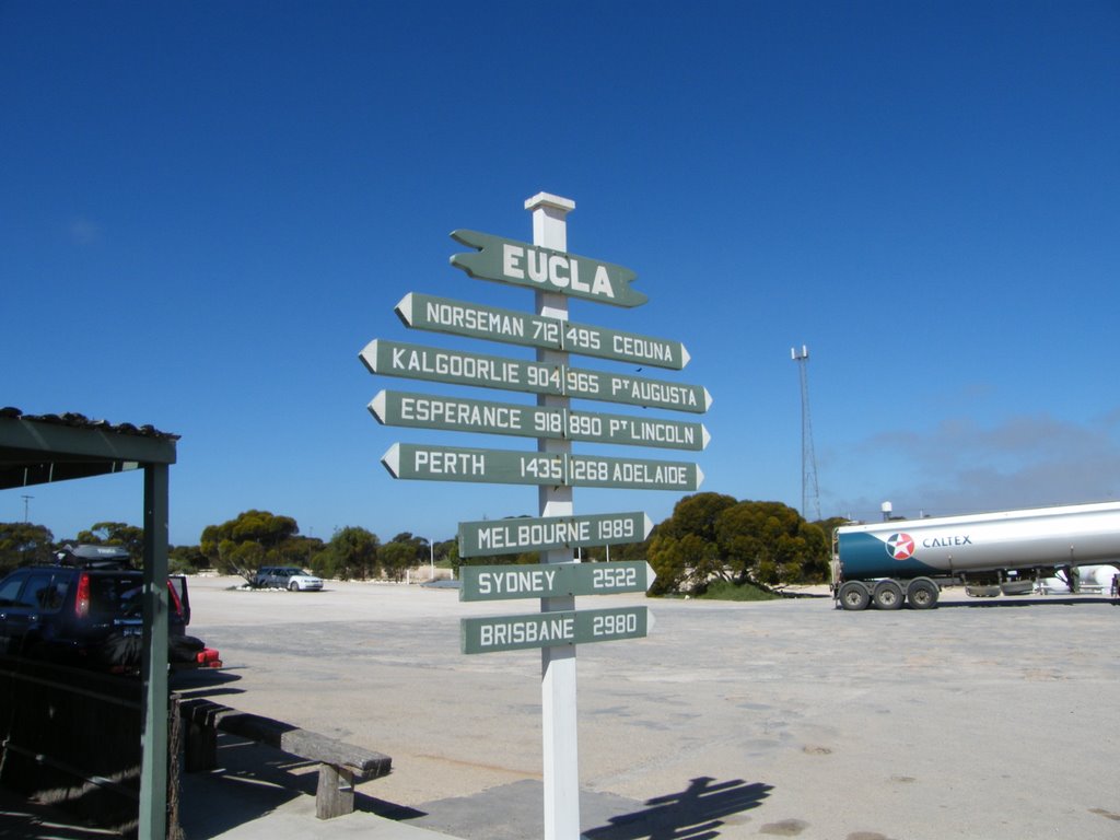
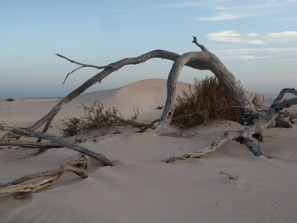
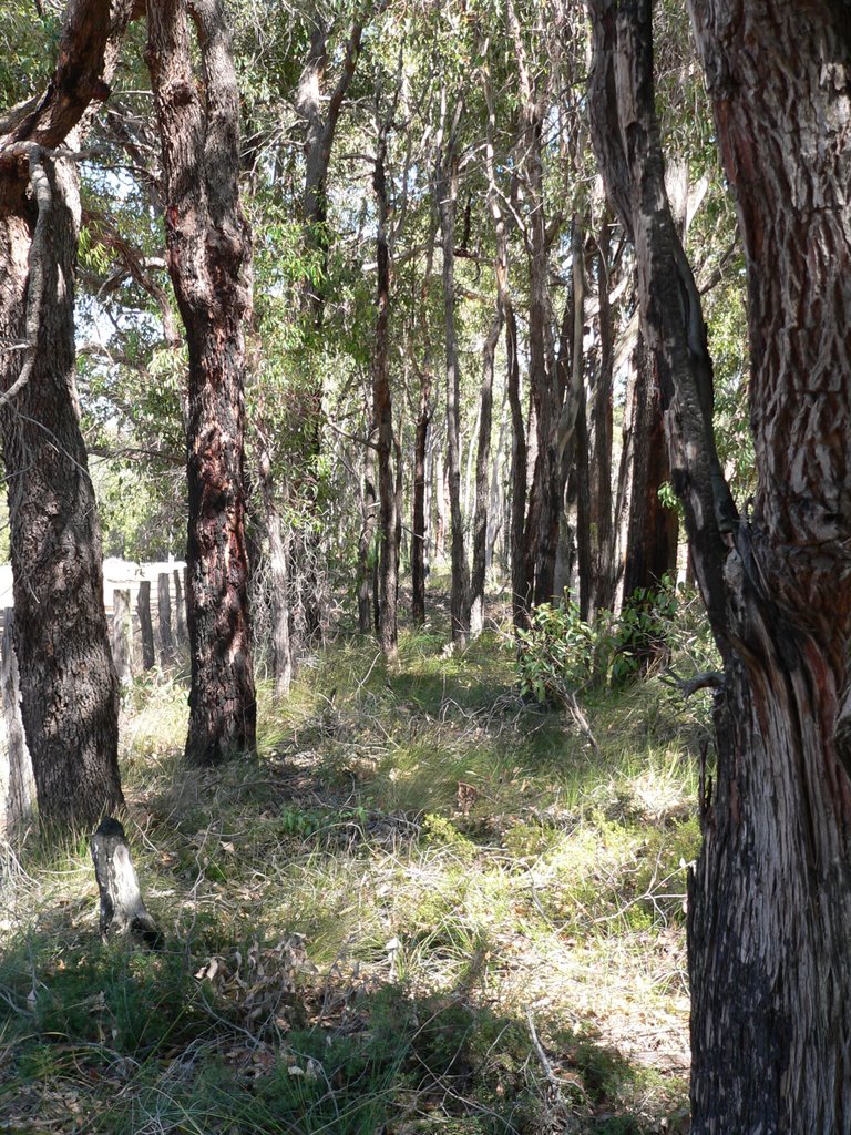
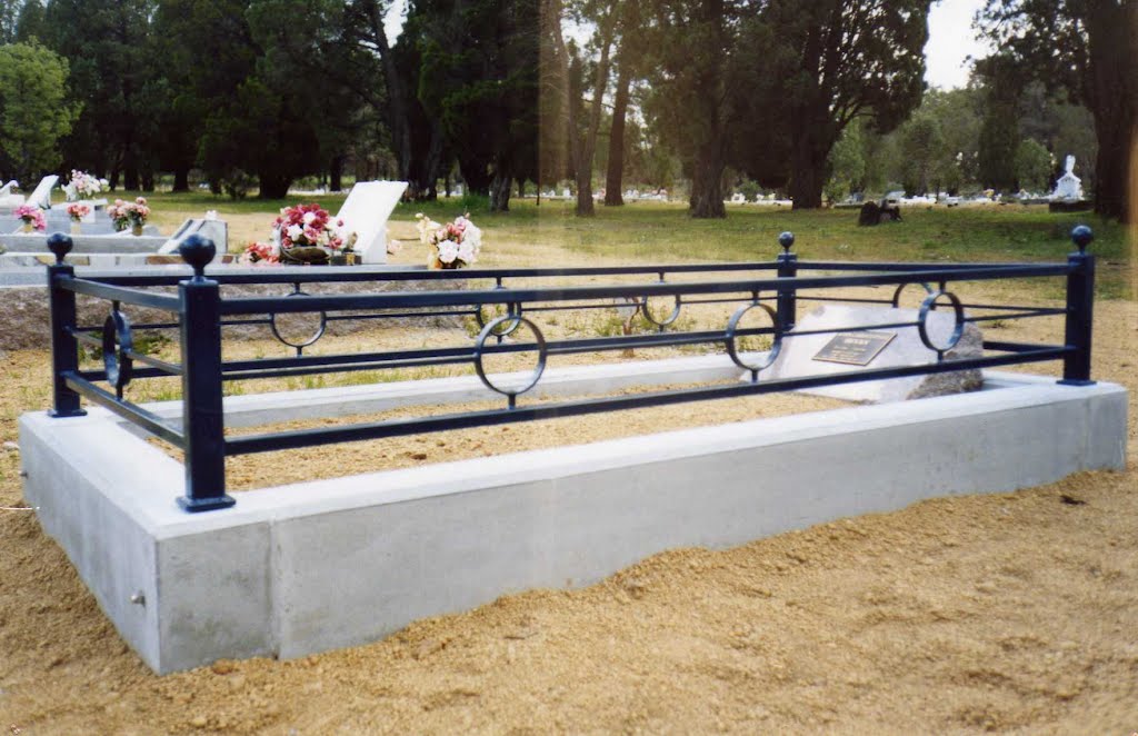
Photos of Eucla
Eucla Weather

Predicción: Clear sky
Temperatura: 15.1°
Humedad: 79%
Hora actual: 07:14 AM
Amanece: 06:31 AM
Anochece: 05:46 PM
Bailup, Australia
Latitude: -31.7393 // Longitude: 116.312
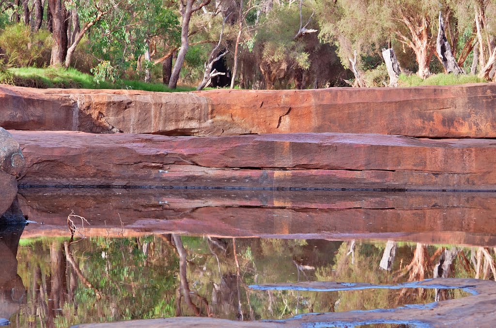
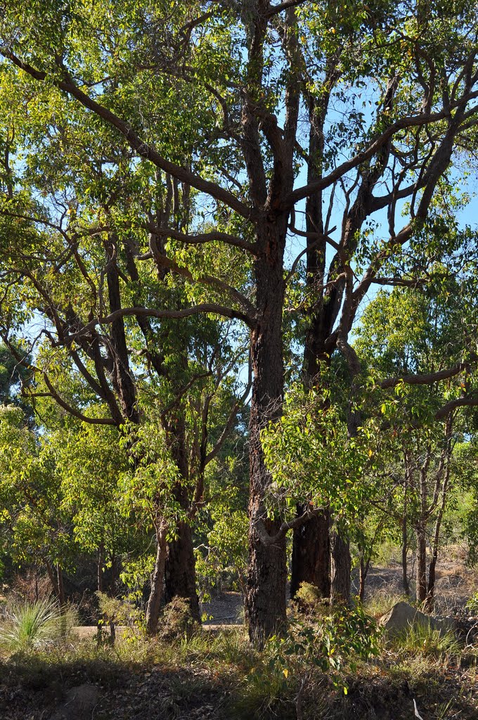
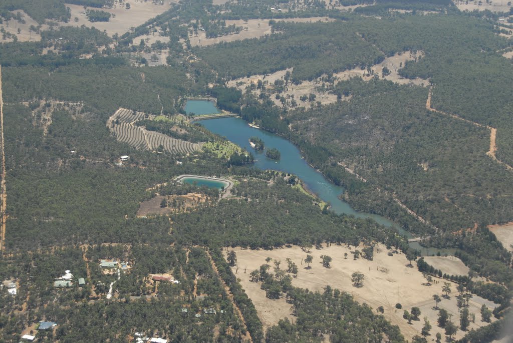
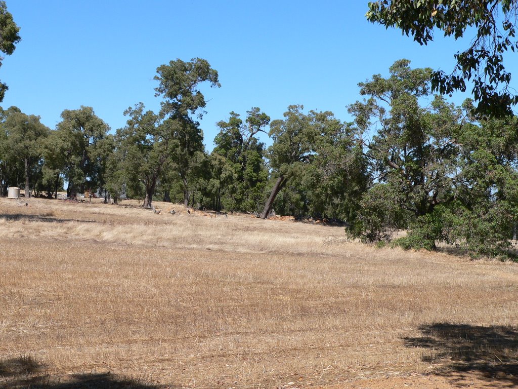
Photos of Bailup
Bailup Weather

Predicción: Clear sky
Temperatura: 18.2°
Humedad: 62%
Hora actual: 06:29 AM
Amanece: 06:36 AM
Anochece: 05:51 PM


