Distance between  Ellenborough and
  Ben Lomond
109.16 mi Straight Distance
162.60 mi Driving Distance
3 hours 8 mins Estimated Driving Time
The straight distance between Ellenborough (New South Wales) and Ben Lomond (New South Wales) is 109.16 mi, but the driving distance is 162.60 mi.
It takes to go from Ellenborough to Ben Lomond.
Driving directions from Ellenborough to Ben Lomond
Distance in kilometers
Straight distance: 175.64 km. Route distance: 261.62 km
Ellenborough, Australia
Latitude: -31.4445 // Longitude: 152.458
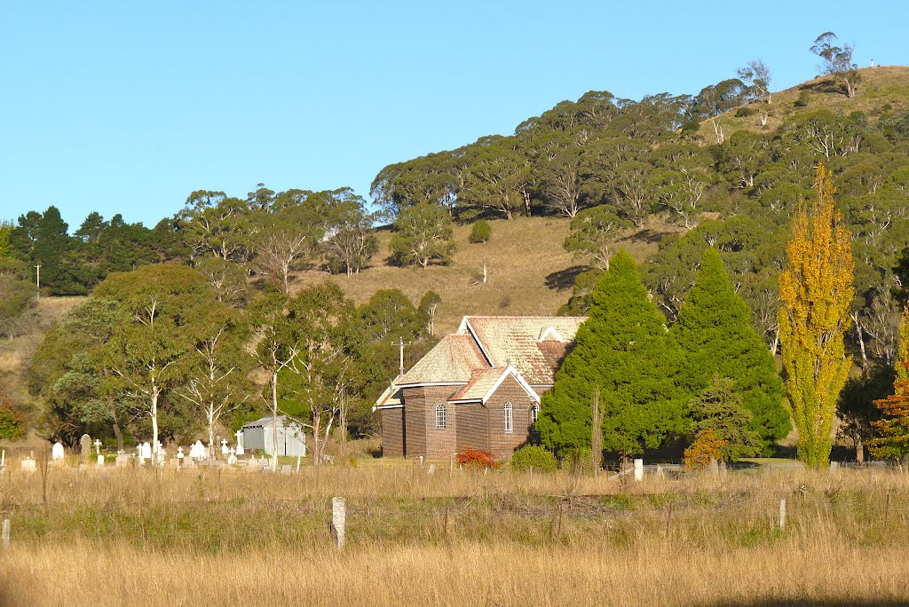
Photos of Ellenborough
Ellenborough Weather

Predicción: Clear sky
Temperatura: 11.7°
Humedad: 98%
Hora actual: 12:00 AM
Amanece: 08:12 PM
Anochece: 07:25 AM
Ben Lomond, Australia
Latitude: -30.0208 // Longitude: 151.661
Photos of Ben Lomond
Ben Lomond Weather

Predicción: Clear sky
Temperatura: 6.1°
Humedad: 95%
Hora actual: 12:00 AM
Amanece: 08:14 PM
Anochece: 07:30 AM


