Distance between  Ejanding and
  Burekup
175.32 mi Straight Distance
219.30 mi Driving Distance
3 hours 38 mins Estimated Driving Time
The straight distance between Ejanding (Western Australia) and Burekup (Western Australia) is 175.32 mi, but the driving distance is 219.30 mi.
It takes to go from Ejanding to Burekup.
Driving directions from Ejanding to Burekup
Distance in kilometers
Straight distance: 282.09 km. Route distance: 352.85 km
Ejanding, Australia
Latitude: -31.0221 // Longitude: 117.105
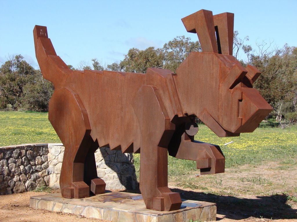
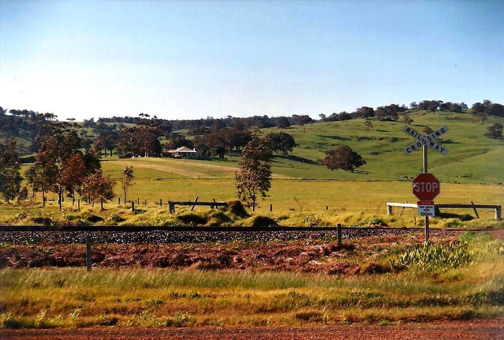
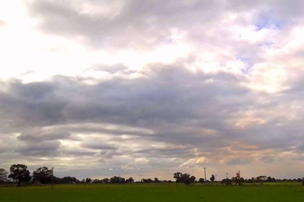
Photos of Ejanding
Ejanding Weather

Predicción: Clear sky
Temperatura: 28.0°
Humedad: 26%
Hora actual: 12:00 AM
Amanece: 10:32 PM
Anochece: 09:49 AM
Burekup, Australia
Latitude: -33.3098 // Longitude: 115.808
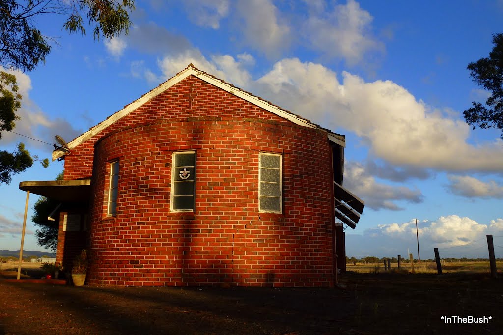
Photos of Burekup
Burekup Weather

Predicción: Clear sky
Temperatura: 30.3°
Humedad: 24%
Hora actual: 01:40 PM
Amanece: 06:39 AM
Anochece: 05:53 PM


