Distance between  East Ridgley and
  Burns Creek
86.60 mi Straight Distance
121.35 mi Driving Distance
2 hours 22 mins Estimated Driving Time
The straight distance between East Ridgley (Tasmania) and Burns Creek (Tasmania) is 86.60 mi, but the driving distance is 121.35 mi.
It takes to go from East Ridgley to Burns Creek.
Driving directions from East Ridgley to Burns Creek
Distance in kilometers
Straight distance: 139.35 km. Route distance: 195.25 km
East Ridgley, Australia
Latitude: -41.16 // Longitude: 145.858
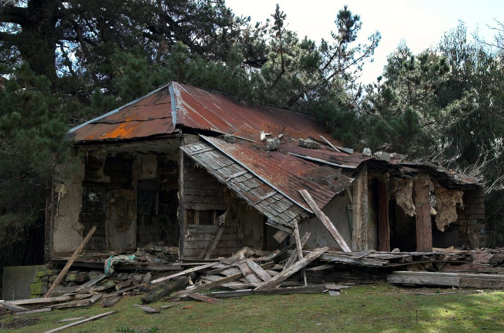
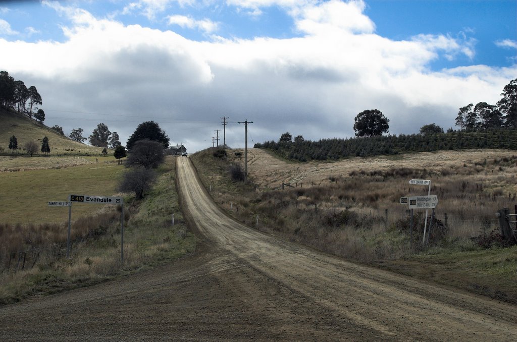
Photos of East Ridgley
East Ridgley Weather

Predicción: Clear sky
Temperatura: 14.0°
Humedad: 38%
Hora actual: 10:55 AM
Amanece: 06:51 AM
Anochece: 05:39 PM
Burns Creek, Australia
Latitude: -41.4511 // Longitude: 147.481
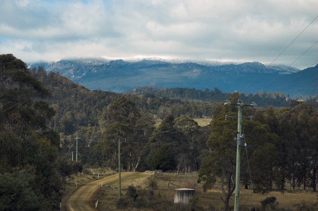
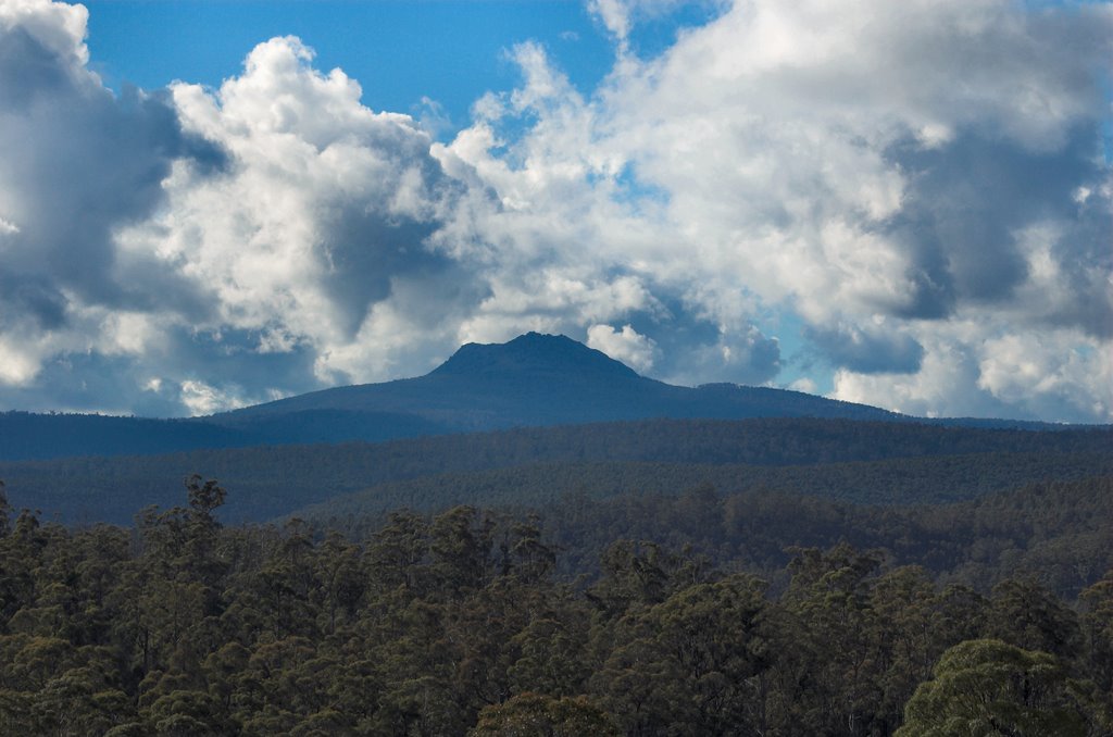
Photos of Burns Creek
Burns Creek Weather

Predicción: Clear sky
Temperatura: 12.0°
Humedad: 54%
Hora actual: 11:00 AM
Amanece: 06:45 AM
Anochece: 05:33 PM


