Distance between  Earlston and
  Zeerust
24.35 mi Straight Distance
32.53 mi Driving Distance
53 minutes Estimated Driving Time
The straight distance between Earlston (Victoria) and Zeerust (Victoria) is 24.35 mi, but the driving distance is 32.53 mi.
It takes to go from Earlston to Zeerust.
Driving directions from Earlston to Zeerust
Distance in kilometers
Straight distance: 39.18 km. Route distance: 52.34 km
Earlston, Australia
Latitude: -36.5381 // Longitude: 145.668
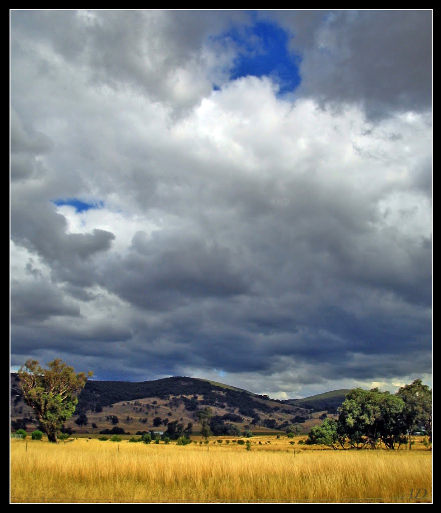
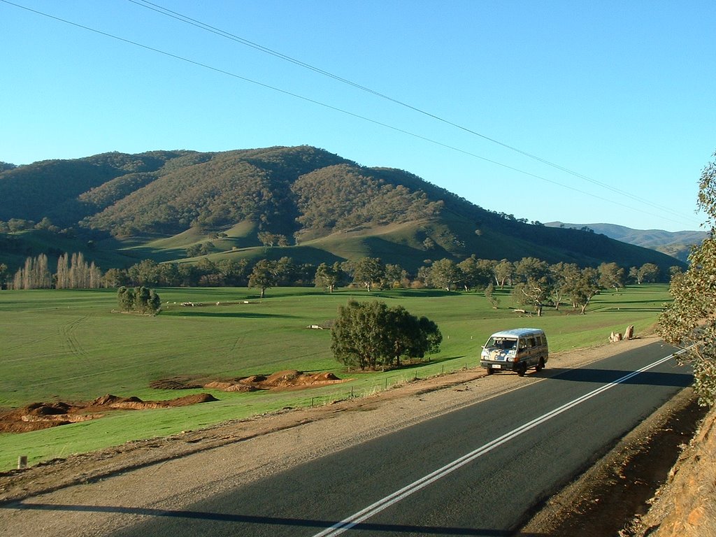
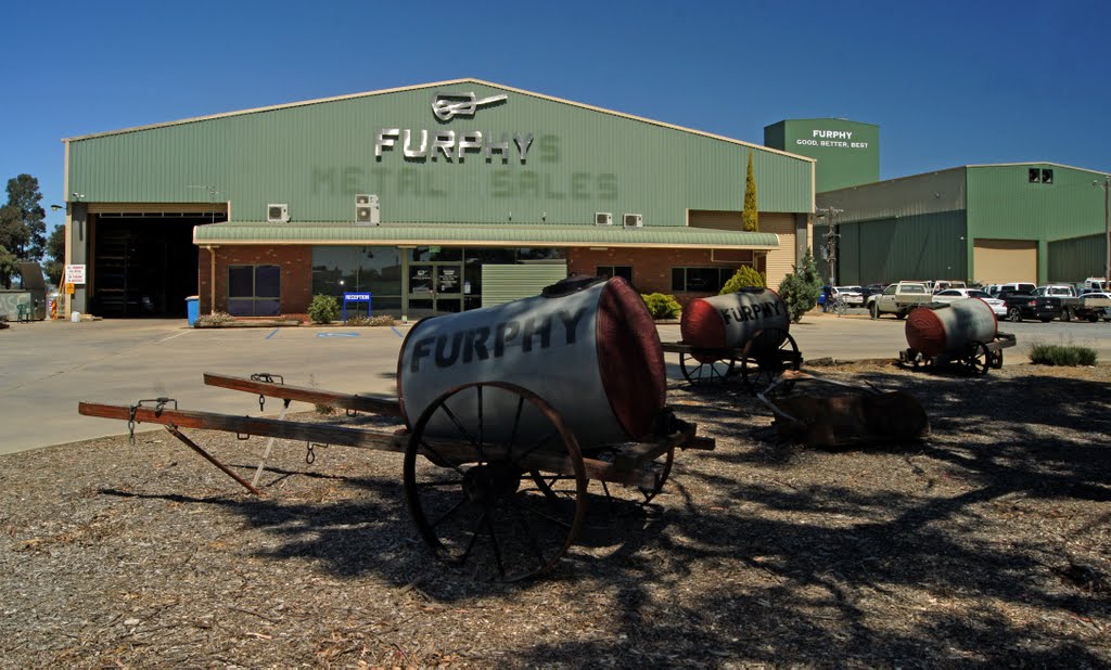
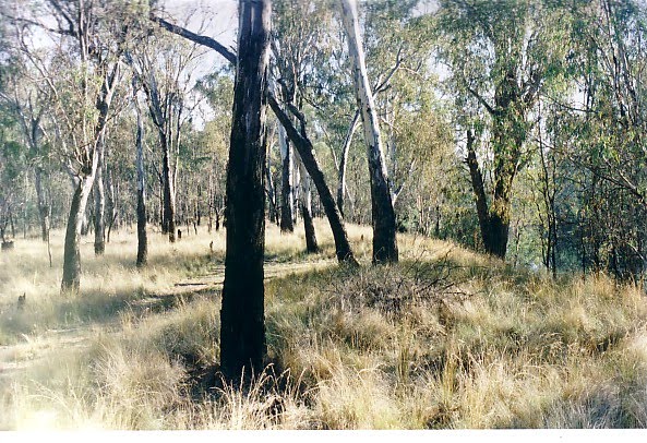
Photos of Earlston
Earlston Weather

Predicción: Clear sky
Temperatura: 19.6°
Humedad: 39%
Hora actual: 12:00 AM
Amanece: 08:46 PM
Anochece: 07:46 AM
Zeerust, Australia
Latitude: -36.2685 // Longitude: 145.386
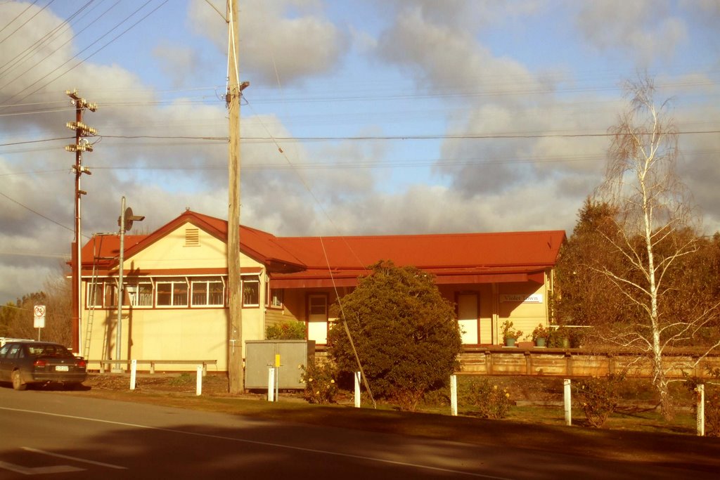
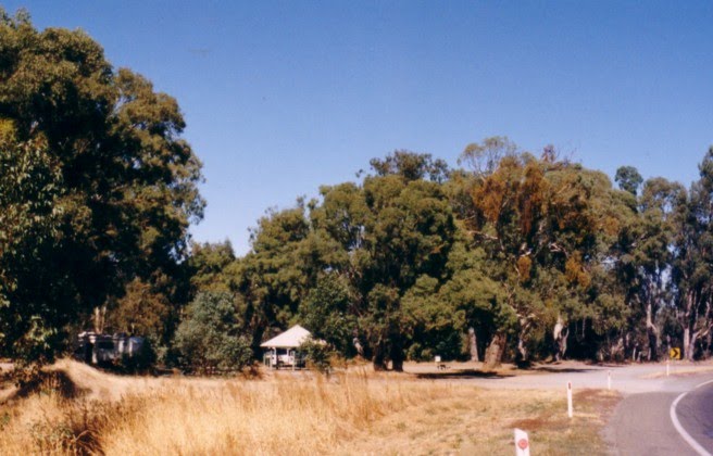
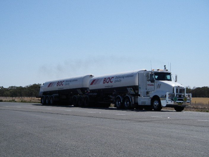
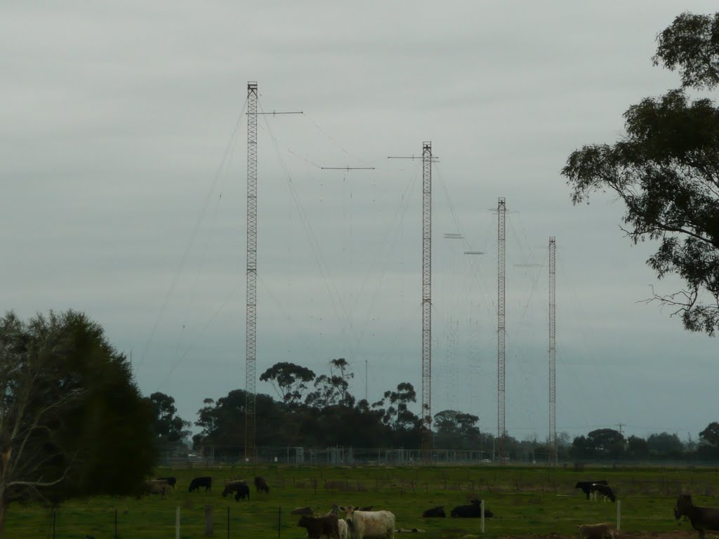
Photos of Zeerust
Zeerust Weather

Predicción: Clear sky
Temperatura: 19.4°
Humedad: 41%
Hora actual: 12:02 PM
Amanece: 06:47 AM
Anochece: 05:48 PM


