Distance between  Dysart and
  Betoota
525.06 mi Straight Distance
679.58 mi Driving Distance
15 hours 4 mins Estimated Driving Time
The straight distance between Dysart (Queensland) and Betoota (Queensland) is 525.06 mi, but the driving distance is 679.58 mi.
It takes to go from Dysart to Betoota.
Driving directions from Dysart to Betoota
Distance in kilometers
Straight distance: 844.82 km. Route distance: 1,093.44 km
Dysart, Australia
Latitude: -22.5881 // Longitude: 148.348
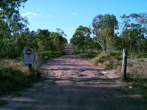
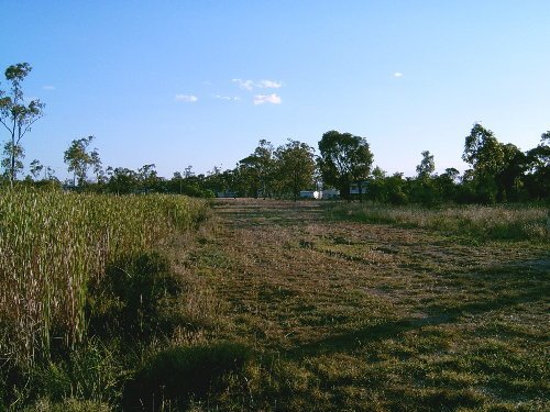
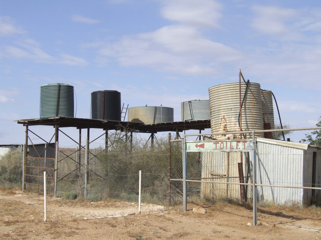
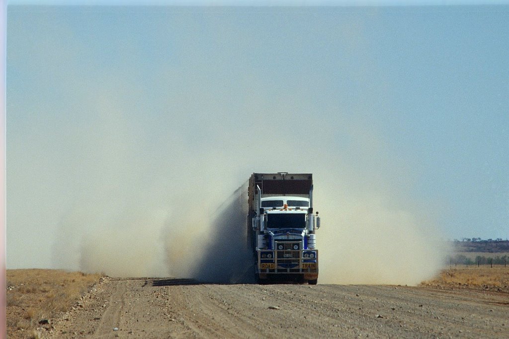
Photos of Dysart
Dysart Weather

Predicción: Broken clouds
Temperatura: 21.4°
Humedad: 90%
Hora actual: 02:29 AM
Amanece: 06:21 AM
Anochece: 05:50 PM
Betoota, Australia
Latitude: -25.6935 // Longitude: 140.745
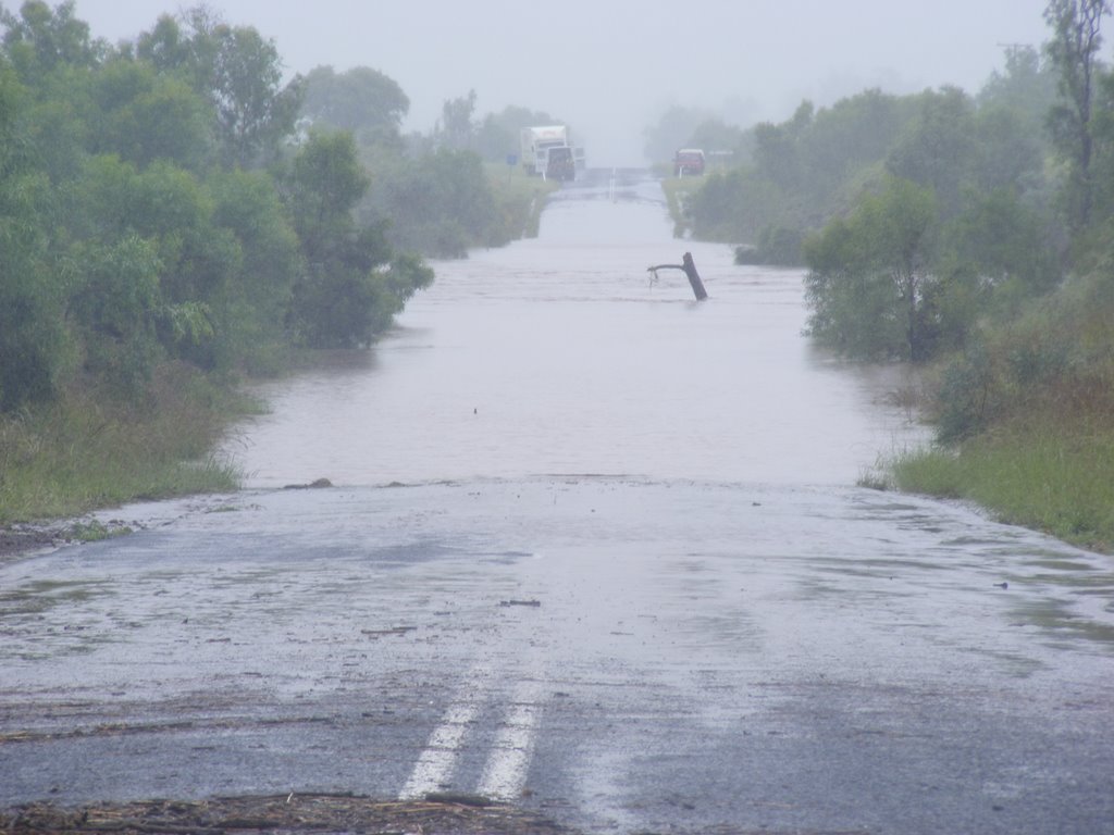
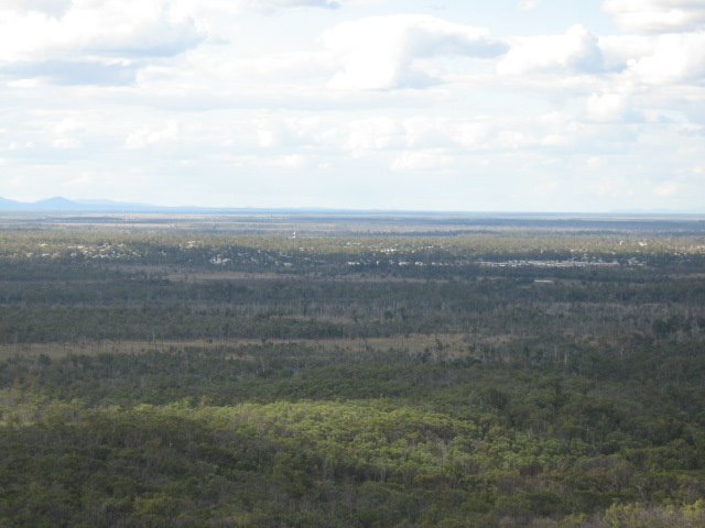
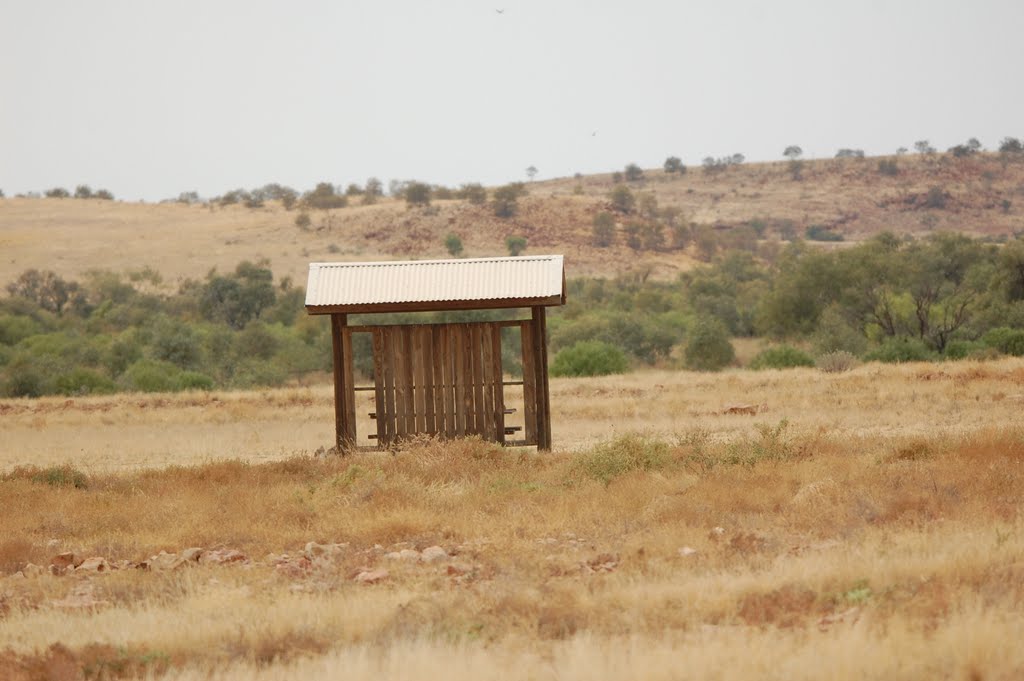
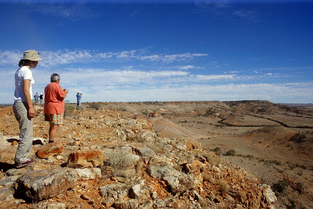
Photos of Betoota
Betoota Weather

Predicción: Clear sky
Temperatura: 20.2°
Humedad: 30%
Hora actual: 02:29 AM
Amanece: 06:54 AM
Anochece: 06:17 PM


