Distance between  Dutson and
  Crooked River
54.77 mi Straight Distance
90.11 mi Driving Distance
2 hours 0 mins Estimated Driving Time
The straight distance between Dutson (Victoria) and Crooked River (Victoria) is 54.77 mi, but the driving distance is 90.11 mi.
It takes to go from Dutson to Crooked River.
Driving directions from Dutson to Crooked River
Distance in kilometers
Straight distance: 88.13 km. Route distance: 144.98 km
Dutson, Australia
Latitude: -38.1763 // Longitude: 147.206
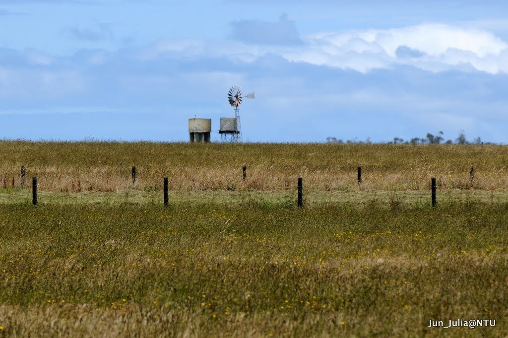
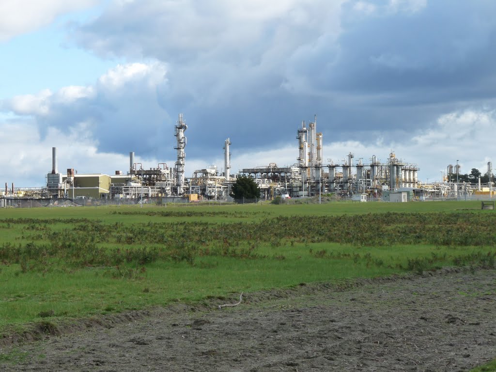
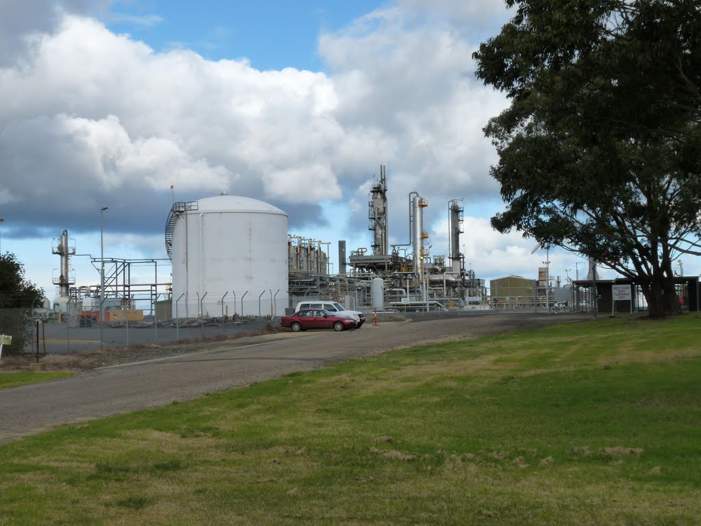
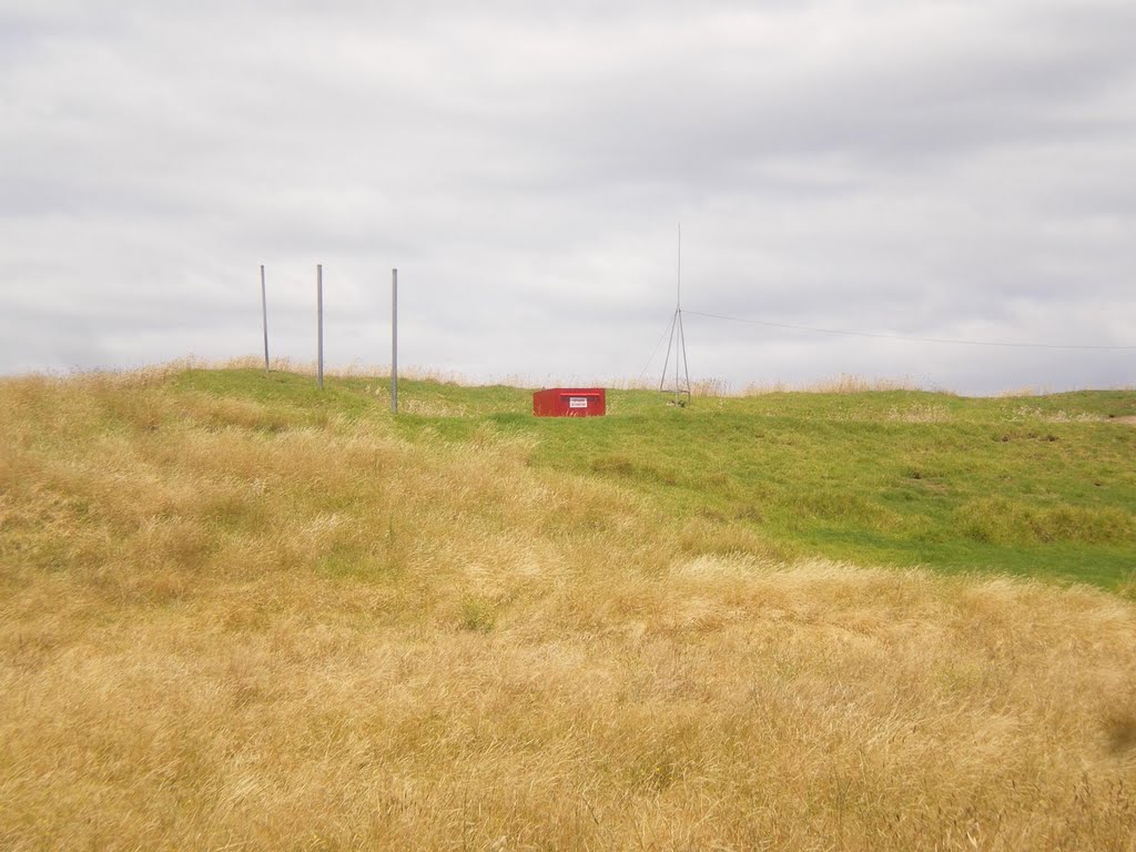
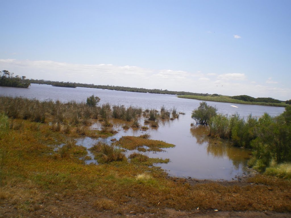
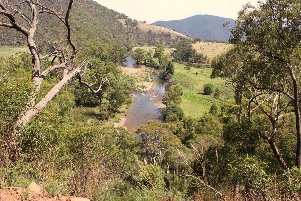
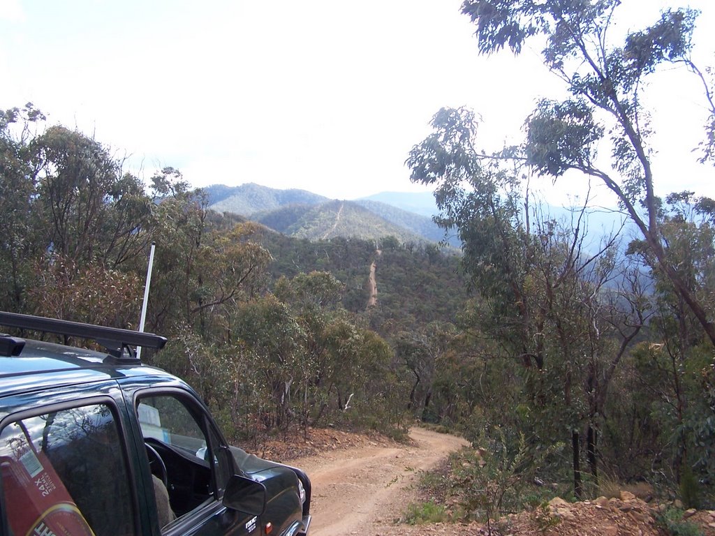
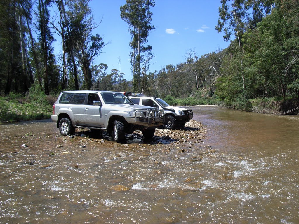
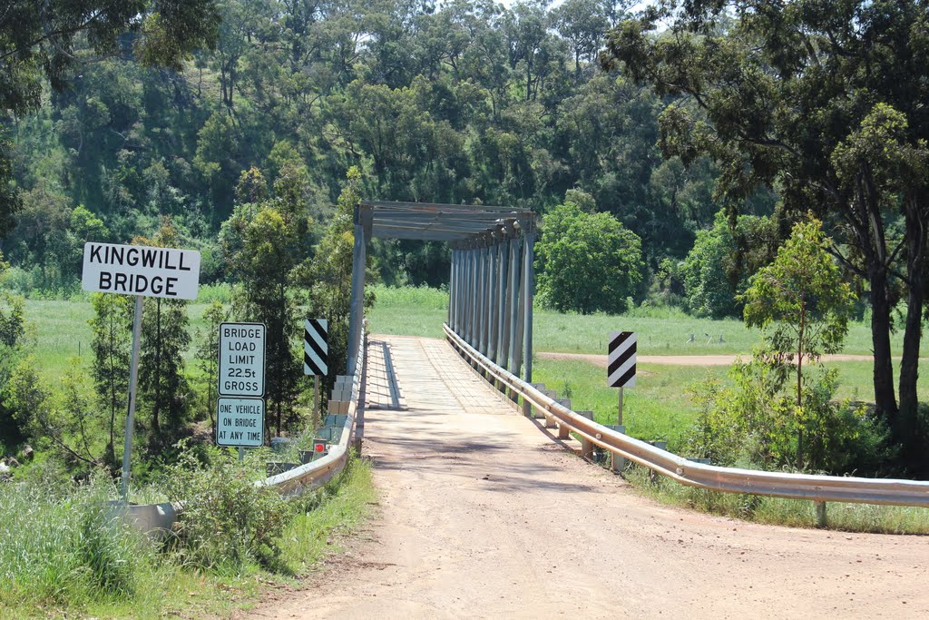
Photos of Dutson
Dutson Weather

Predicción: Overcast clouds
Temperatura: 11.8°
Humedad: 89%
Hora actual: 12:00 AM
Amanece: 08:39 PM
Anochece: 07:41 AM
Crooked River, Australia
Latitude: -37.3873 // Longitude: 147.109
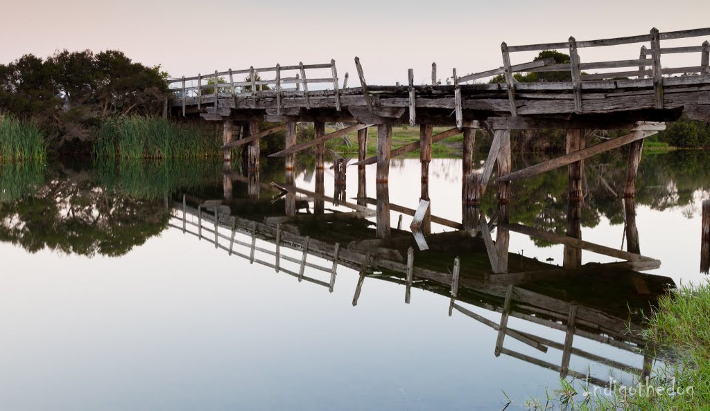
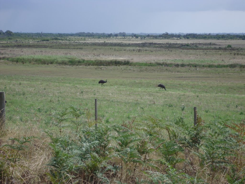
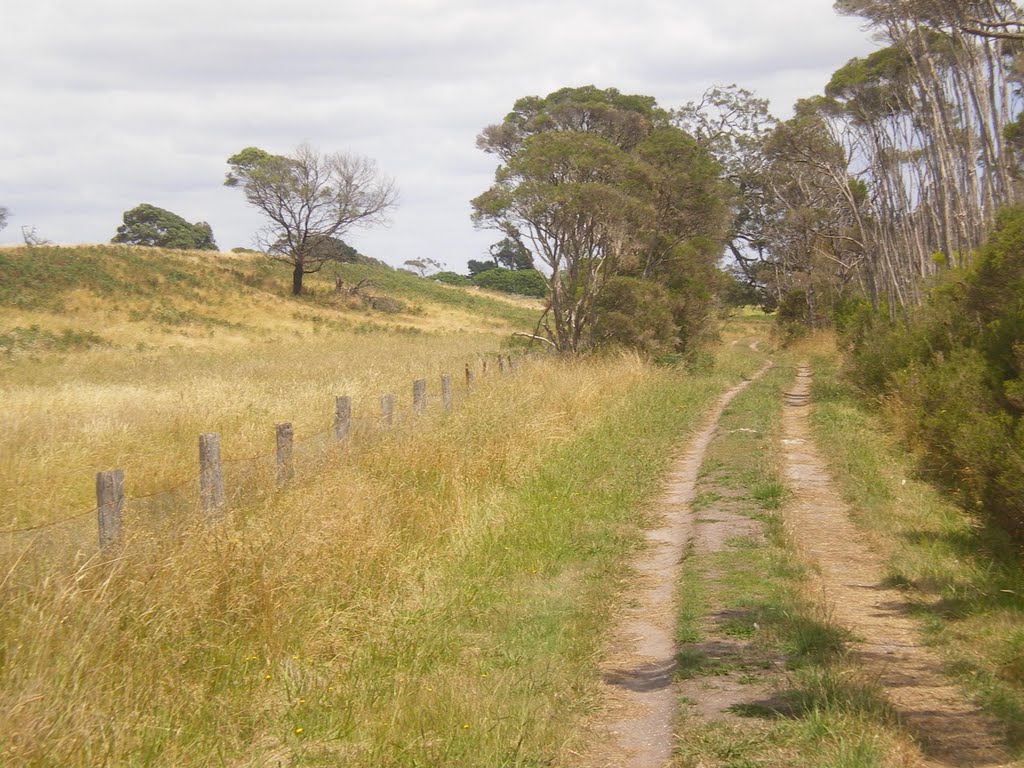
Photos of Crooked River
Crooked River Weather

Predicción: Overcast clouds
Temperatura: 11.9°
Humedad: 97%
Hora actual: 12:00 AM
Amanece: 08:39 PM
Anochece: 07:43 AM


