Distance between  Duranillin and
  Penneshaw
1,209.18 mi Straight Distance
1,666.83 mi Driving Distance
1 day 2 hours Estimated Driving Time
The straight distance between Duranillin (Western Australia) and Penneshaw (South Australia) is 1,209.18 mi, but the driving distance is 1,666.83 mi.
It takes to go from Duranillin to Penneshaw.
Driving directions from Duranillin to Penneshaw
Distance in kilometers
Straight distance: 1,945.57 km. Route distance: 2,681.94 km
Duranillin, Australia
Latitude: -33.5178 // Longitude: 116.799
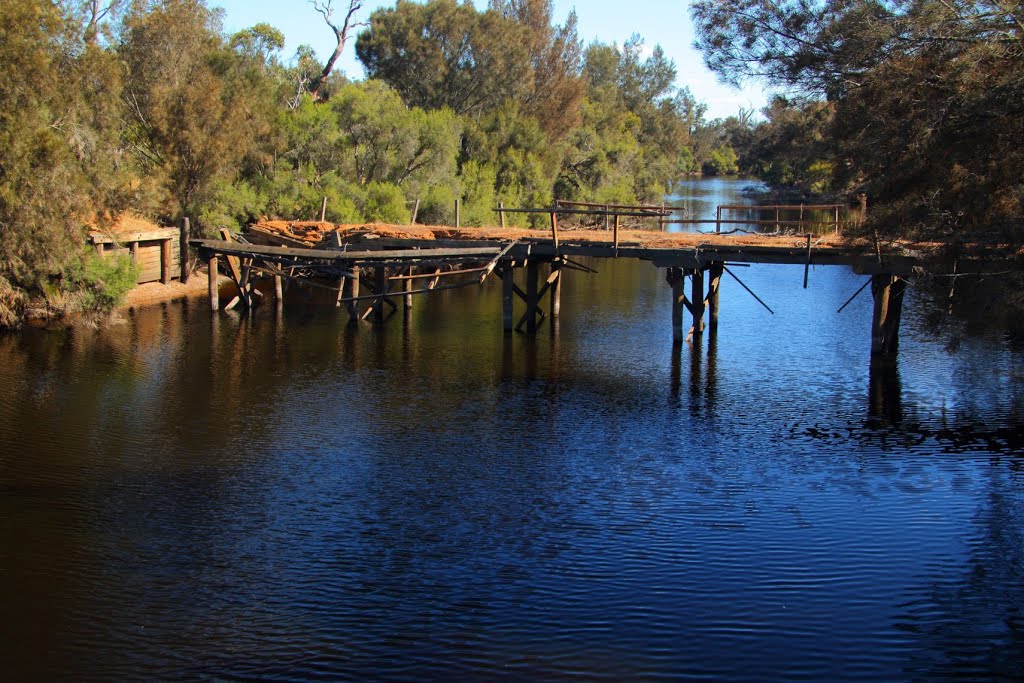
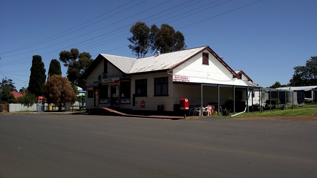
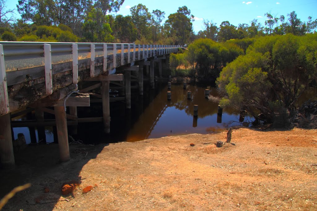
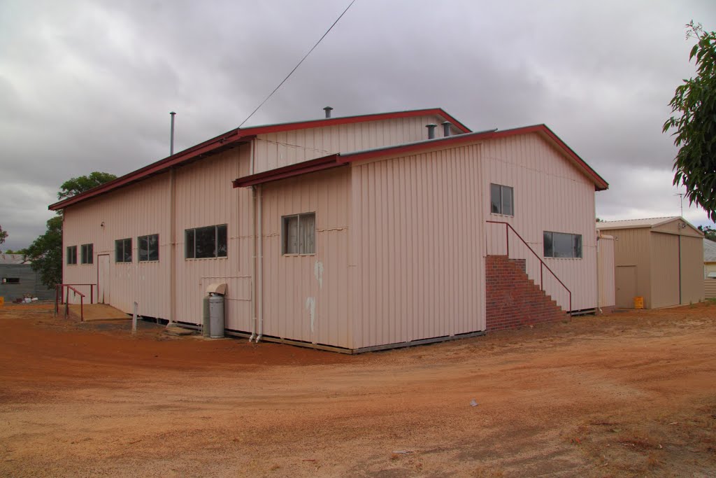
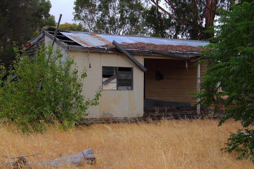
Photos of Duranillin
Duranillin Weather

Predicción: Clear sky
Temperatura: 21.3°
Humedad: 37%
Hora actual: 12:00 AM
Amanece: 10:36 PM
Anochece: 09:48 AM
Penneshaw, Australia
Latitude: -35.7182 // Longitude: 137.938
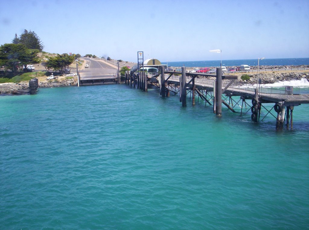
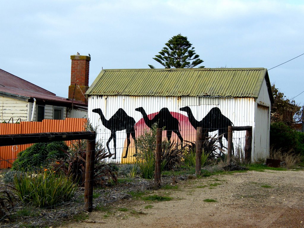
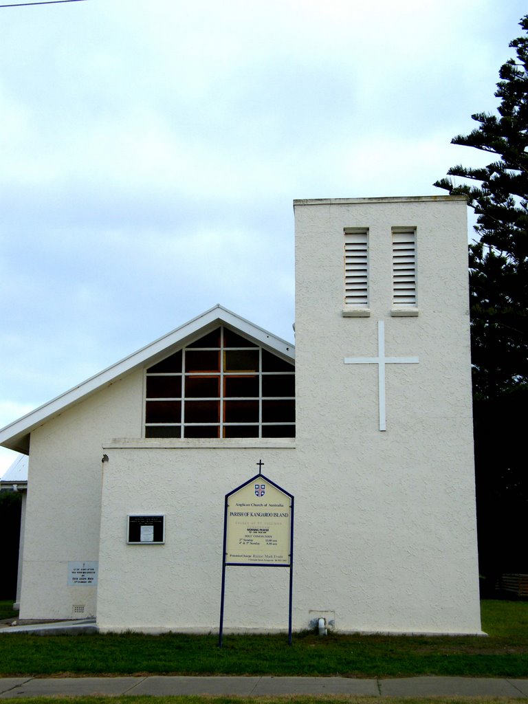
Photos of Penneshaw
Penneshaw Weather

Predicción: Broken clouds
Temperatura: 14.4°
Humedad: 88%
Hora actual: 07:19 PM
Amanece: 06:43 AM
Anochece: 05:52 PM


