Distance between  Dunwich and
  Watheroo
2,257.16 mi Straight Distance
2,720.62 mi Driving Distance
1 day 22 hours Estimated Driving Time
The straight distance between Dunwich (Queensland) and Watheroo (Western Australia) is 2,257.16 mi, but the driving distance is 2,720.62 mi.
It takes to go from Dunwich to Watheroo.
Driving directions from Dunwich to Watheroo
Distance in kilometers
Straight distance: 3,631.77 km. Route distance: 4,377.48 km
Dunwich, Australia
Latitude: -27.4987 // Longitude: 153.403
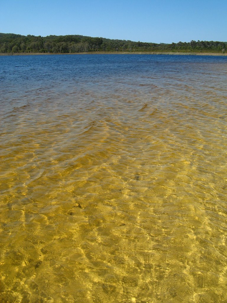
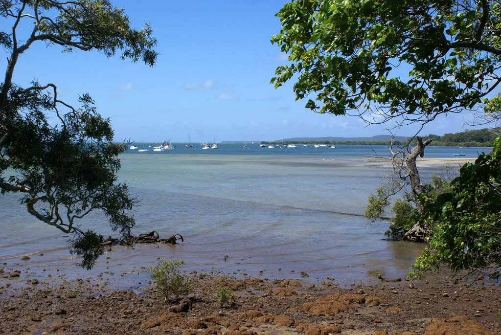
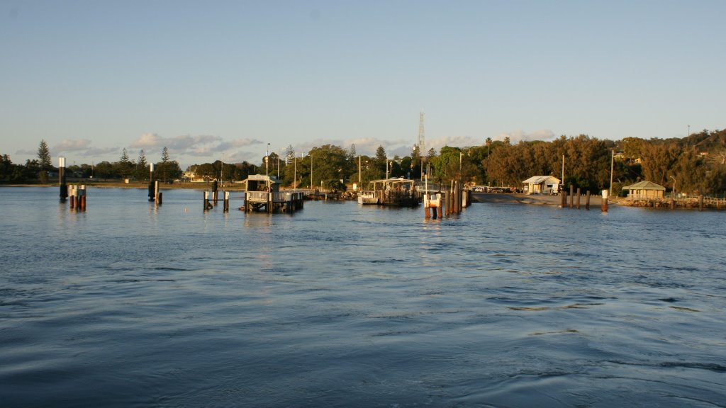
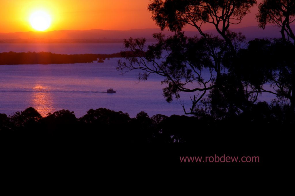
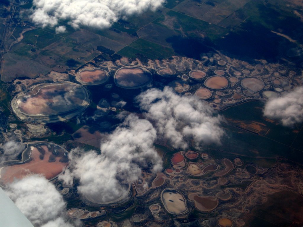
Photos of Dunwich
Dunwich Weather

Predicción: Clear sky
Temperatura: 23.7°
Humedad: 78%
Hora actual: 10:00 AM
Amanece: 06:05 AM
Anochece: 05:25 PM
Watheroo, Australia
Latitude: -30.2979 // Longitude: 116.059
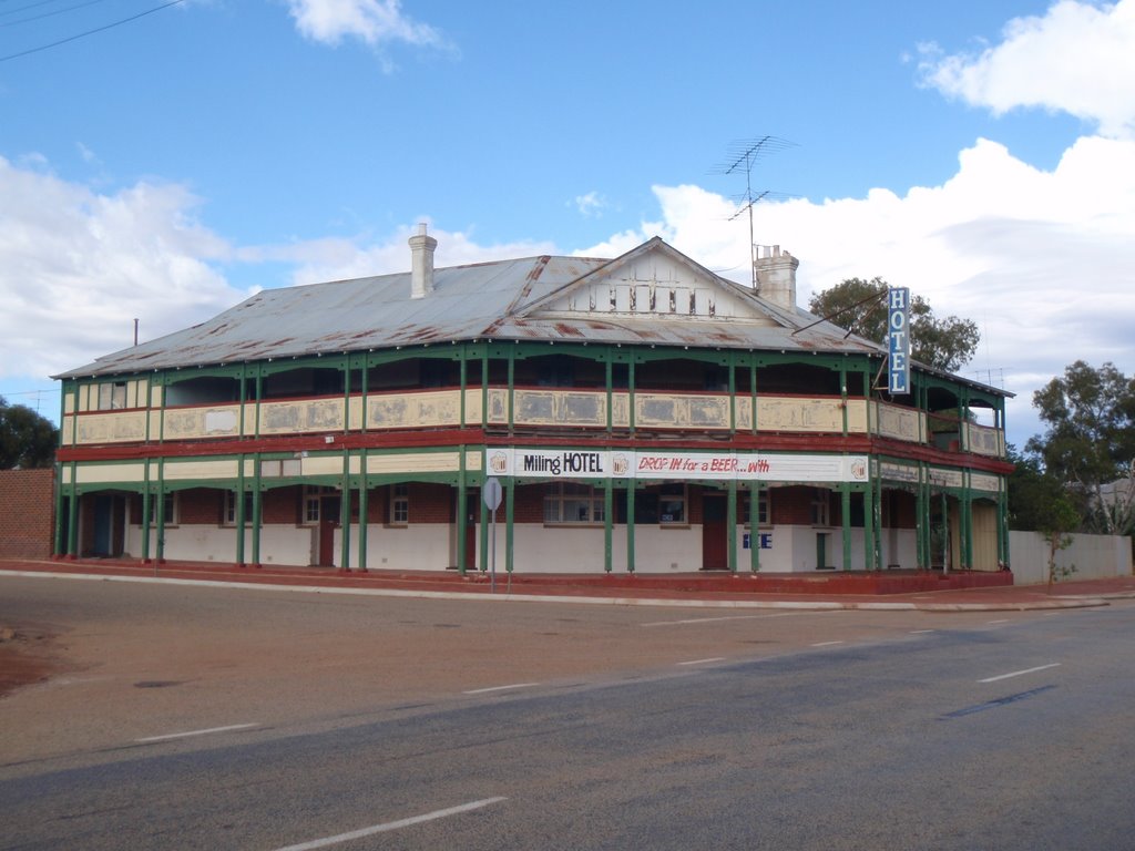
Photos of Watheroo
Watheroo Weather

Predicción: Clear sky
Temperatura: 18.8°
Humedad: 39%
Hora actual: 10:00 AM
Amanece: 08:37 AM
Anochece: 07:51 PM


