Distance between  Dunsborough and
  Burekup
45.54 mi Straight Distance
57 mi Driving Distance
1 hour 1 min Estimated Driving Time
The straight distance between Dunsborough (Western Australia) and Burekup (Western Australia) is 45.54 mi, but the driving distance is 57 mi.
It takes 1 hour 24 mins to go from Dunsborough to Burekup.
Driving directions from Dunsborough to Burekup
Distance in kilometers
Straight distance: 73.28 km. Route distance: 91.71 km
Dunsborough, Australia
Latitude: -33.6155 // Longitude: 115.108
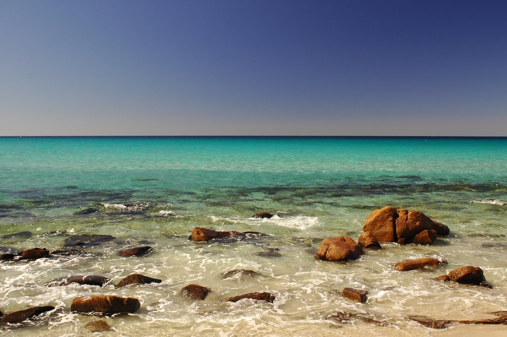
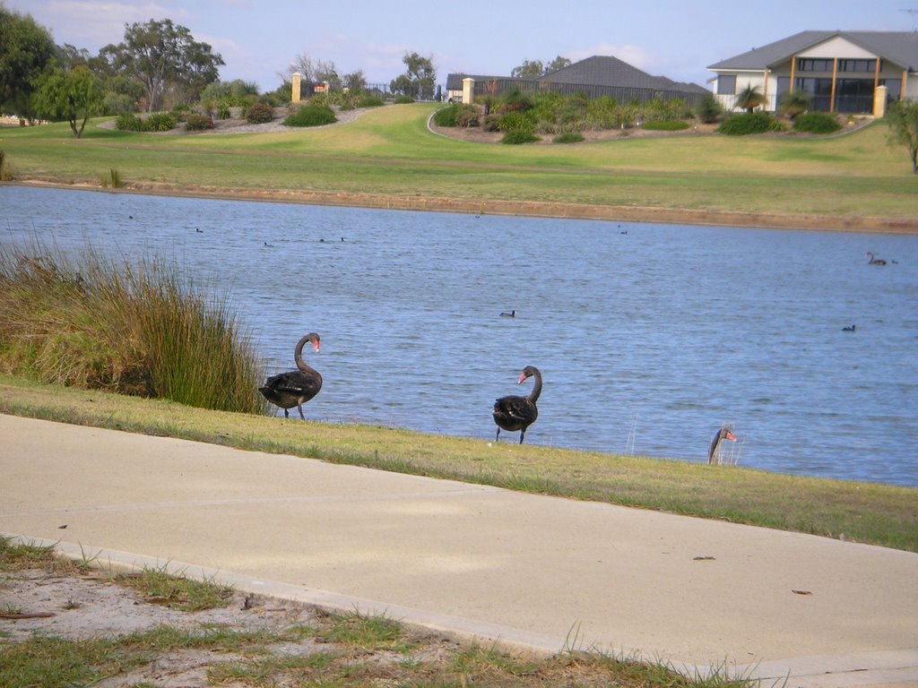
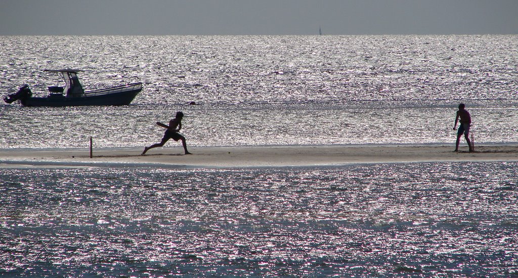
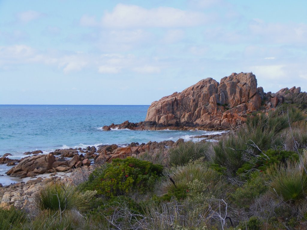
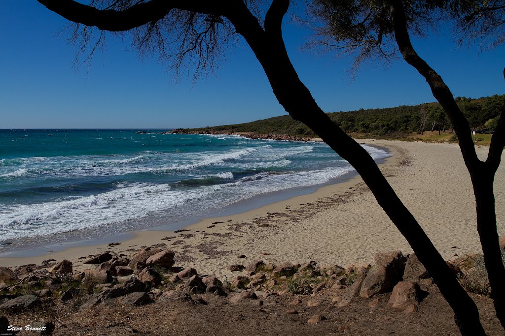
Photos of Dunsborough
Dunsborough Weather

Predicción: Clear sky
Temperatura: 20.1°
Humedad: 57%
Hora actual: 08:35 AM
Amanece: 06:44 AM
Anochece: 05:53 PM
Burekup, Australia
Latitude: -33.3098 // Longitude: 115.808
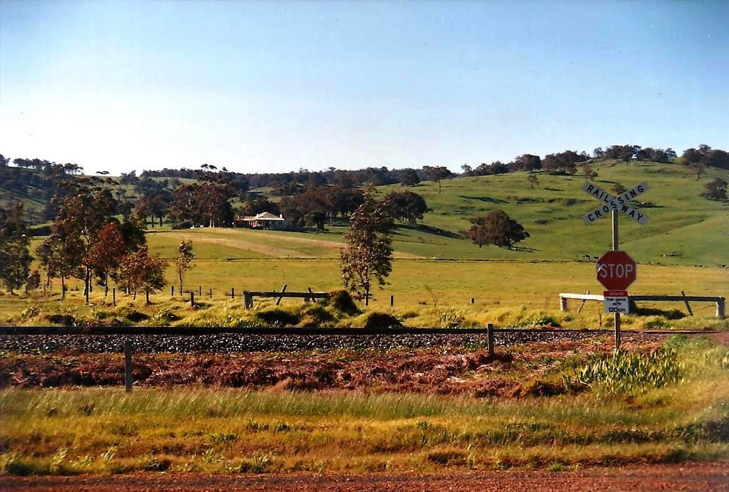
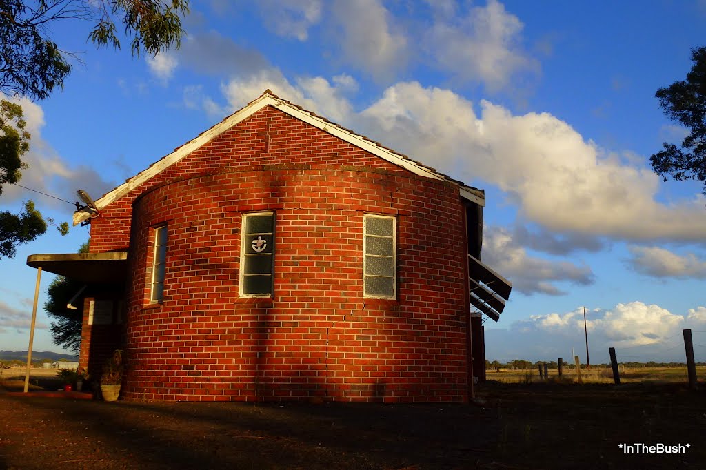
Photos of Burekup
Burekup Weather

Predicción: Clear sky
Temperatura: 23.9°
Humedad: 36%
Hora actual: 08:35 AM
Amanece: 06:41 AM
Anochece: 05:50 PM


