Distance between  Duchembegarra and
  Mount Napier
88.32 mi Straight Distance
115.99 mi Driving Distance
2 hours 12 mins Estimated Driving Time
The straight distance between Duchembegarra (Victoria) and Mount Napier (Victoria) is 88.32 mi, but the driving distance is 115.99 mi.
It takes 2 hours 9 mins to go from Duchembegarra to Mount Napier.
Driving directions from Duchembegarra to Mount Napier
Distance in kilometers
Straight distance: 142.11 km. Route distance: 186.64 km
Duchembegarra, Australia
Latitude: -36.6483 // Longitude: 141.921
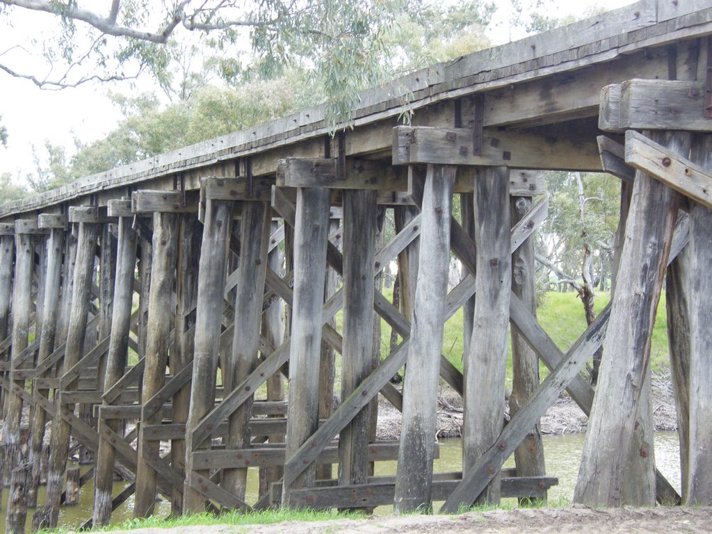
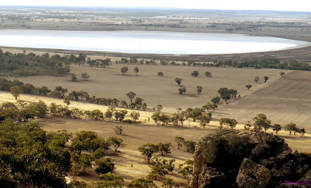
Photos of Duchembegarra
Duchembegarra Weather

Predicción: Overcast clouds
Temperatura: 14.3°
Humedad: 56%
Hora actual: 12:00 AM
Amanece: 09:00 PM
Anochece: 08:02 AM
Mount Napier, Australia
Latitude: -37.9197 // Longitude: 142.088
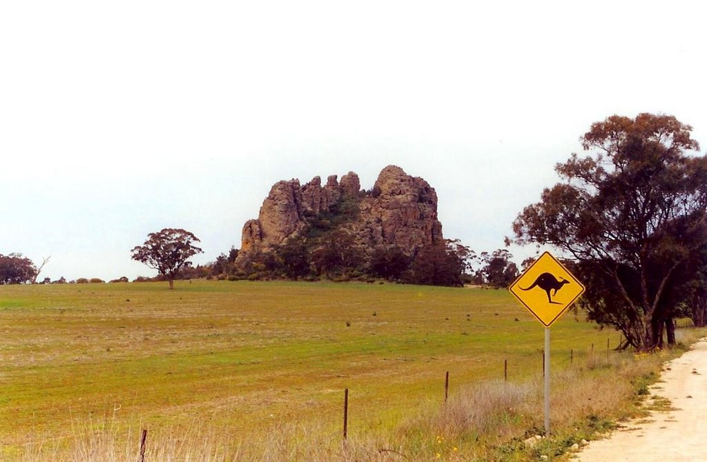
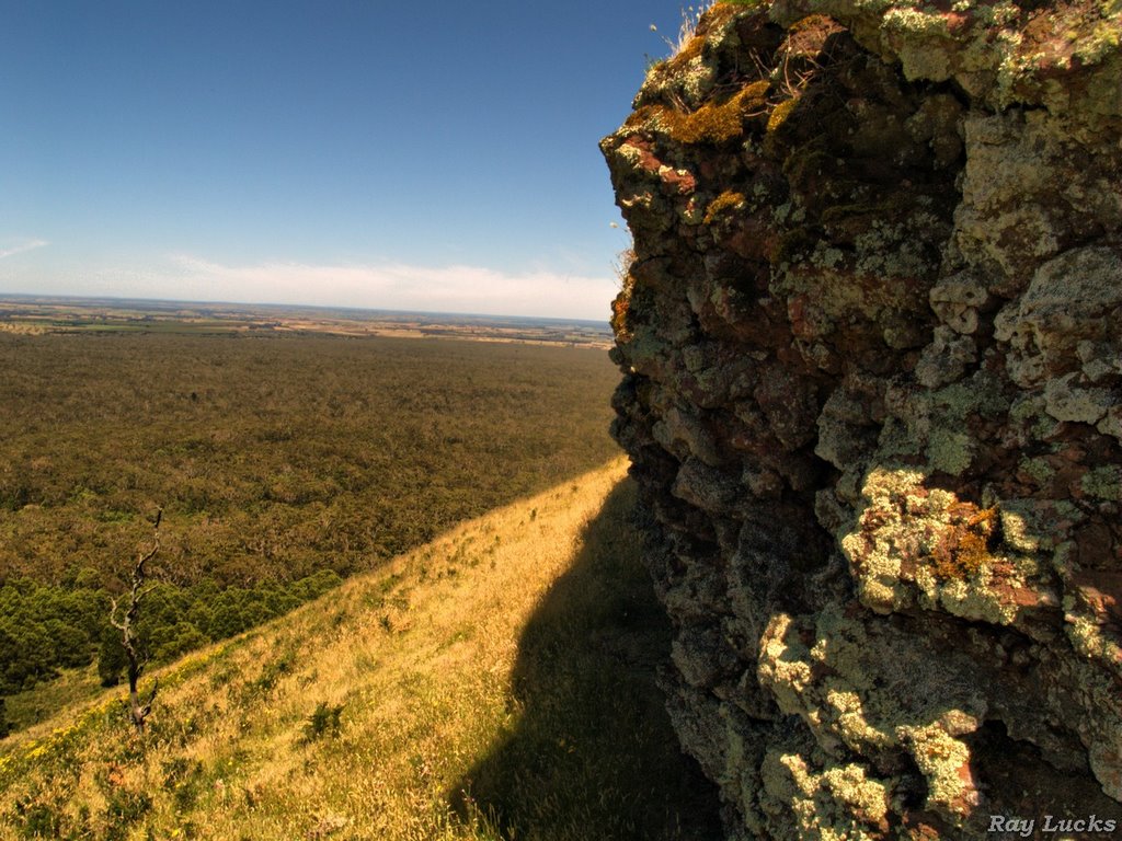
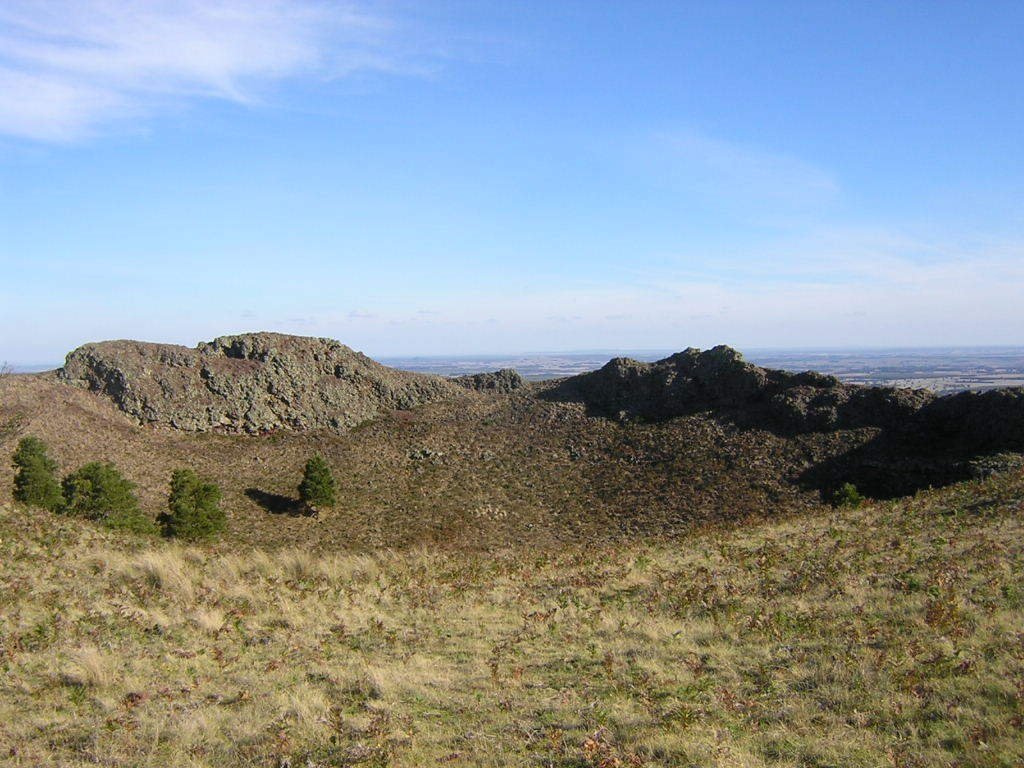
Photos of Mount Napier
Mount Napier Weather

Predicción: Overcast clouds
Temperatura: 14.1°
Humedad: 64%
Hora actual: 12:00 AM
Amanece: 09:01 PM
Anochece: 08:00 AM


