Distance between  Dublin and
  Caltowie
88.15 mi Straight Distance
112.81 mi Driving Distance
1 hour 42 mins Estimated Driving Time
The straight distance between Dublin (South Australia) and Caltowie (South Australia) is 88.15 mi, but the driving distance is 112.81 mi.
It takes to go from Dublin to Caltowie.
Driving directions from Dublin to Caltowie
Distance in kilometers
Straight distance: 141.83 km. Route distance: 181.52 km
Dublin, Australia
Latitude: -34.4539 // Longitude: 138.357
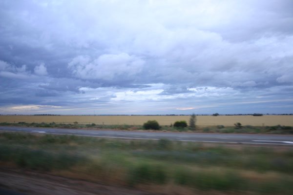
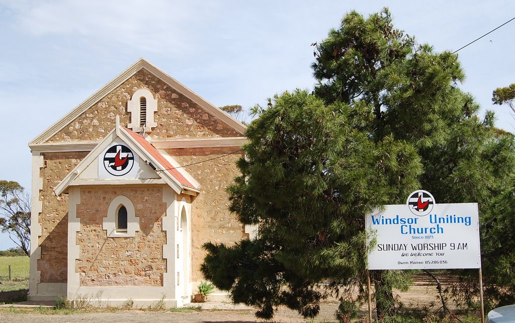
Photos of Dublin
Dublin Weather

Predicción: Scattered clouds
Temperatura: 16.9°
Humedad: 48%
Hora actual: 12:00 AM
Amanece: 09:13 PM
Anochece: 08:17 AM
Caltowie, Australia
Latitude: -33.1824 // Longitude: 138.483
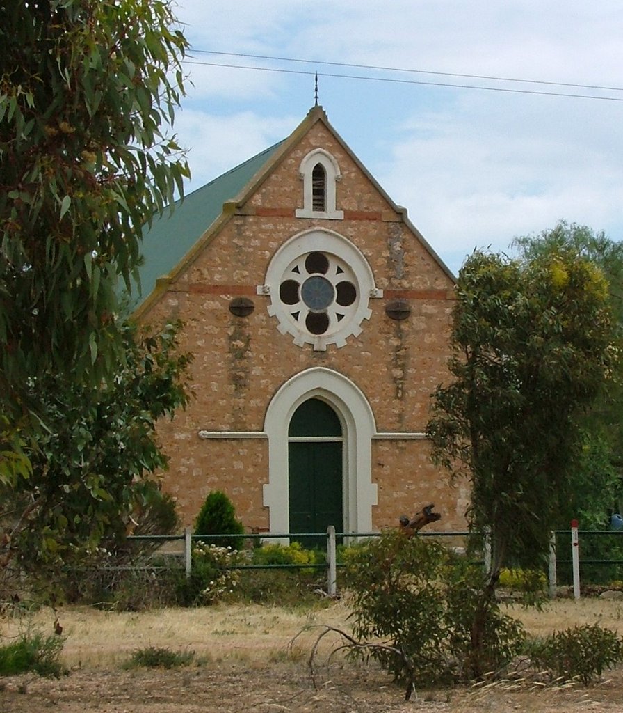
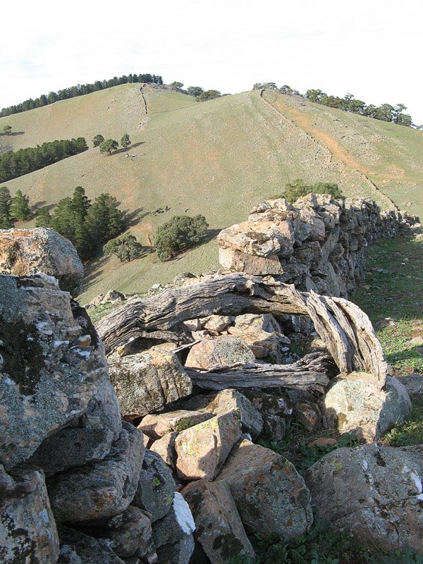
Photos of Caltowie
Caltowie Weather

Predicción: Scattered clouds
Temperatura: 17.0°
Humedad: 41%
Hora actual: 12:00 AM
Amanece: 09:11 PM
Anochece: 08:18 AM


