Distance between  Dropmore and
  Torquay
109.39 mi Straight Distance
141.52 mi Driving Distance
3 hours 3 mins Estimated Driving Time
The straight distance between Dropmore (Victoria) and Torquay (Victoria) is 109.39 mi, but the driving distance is 141.52 mi.
It takes to go from Dropmore to Torquay.
Driving directions from Dropmore to Torquay
Distance in kilometers
Straight distance: 176.02 km. Route distance: 227.70 km
Dropmore, Australia
Latitude: -37.02 // Longitude: 145.446
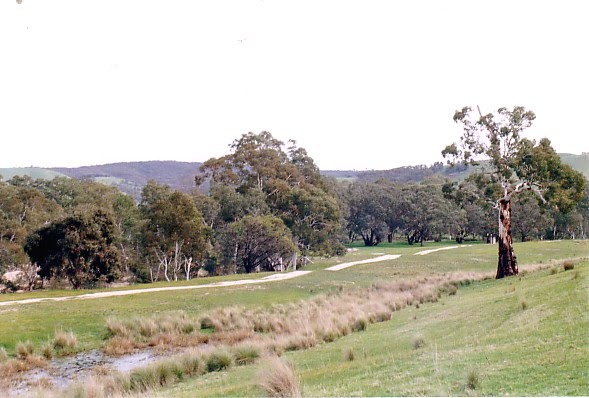
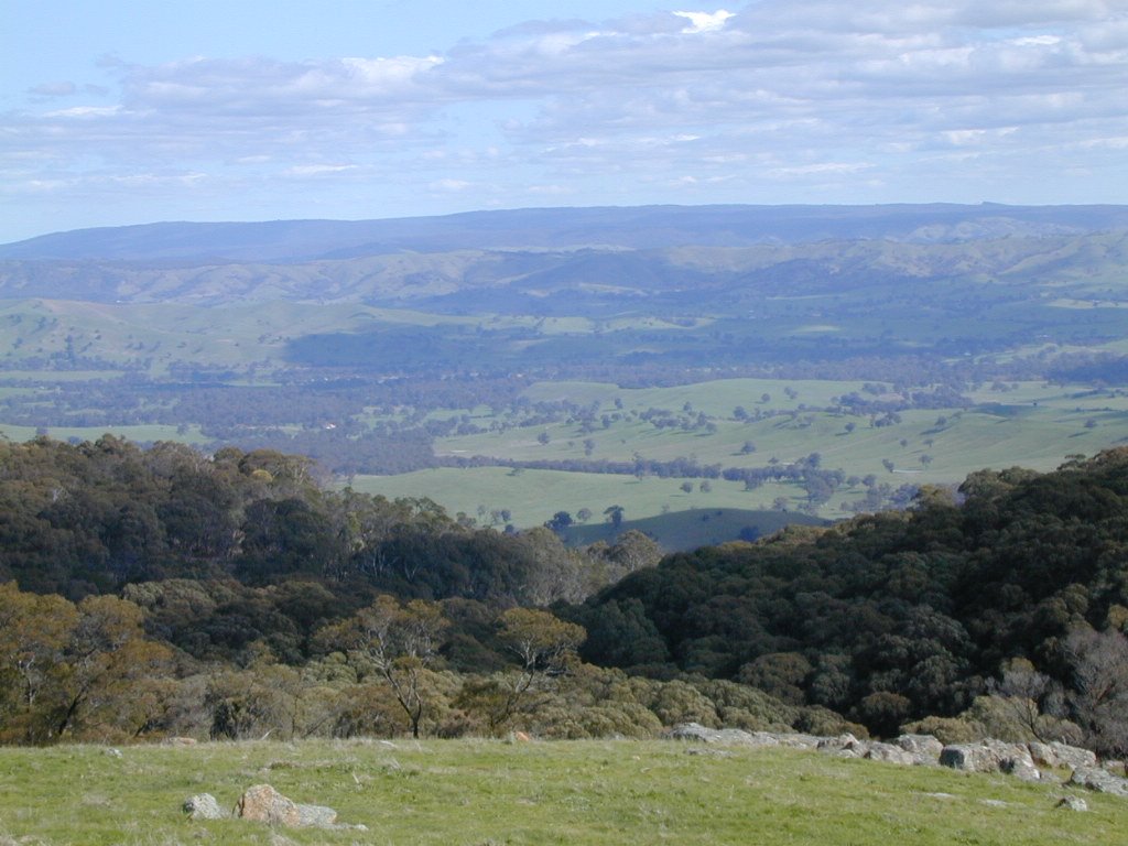
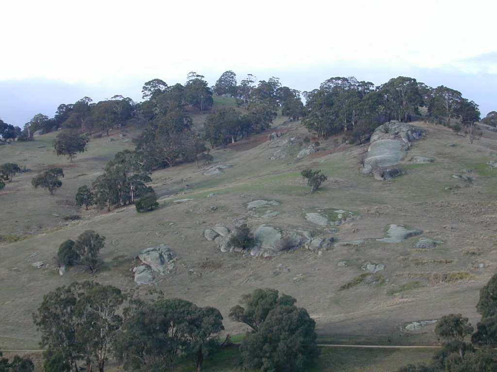
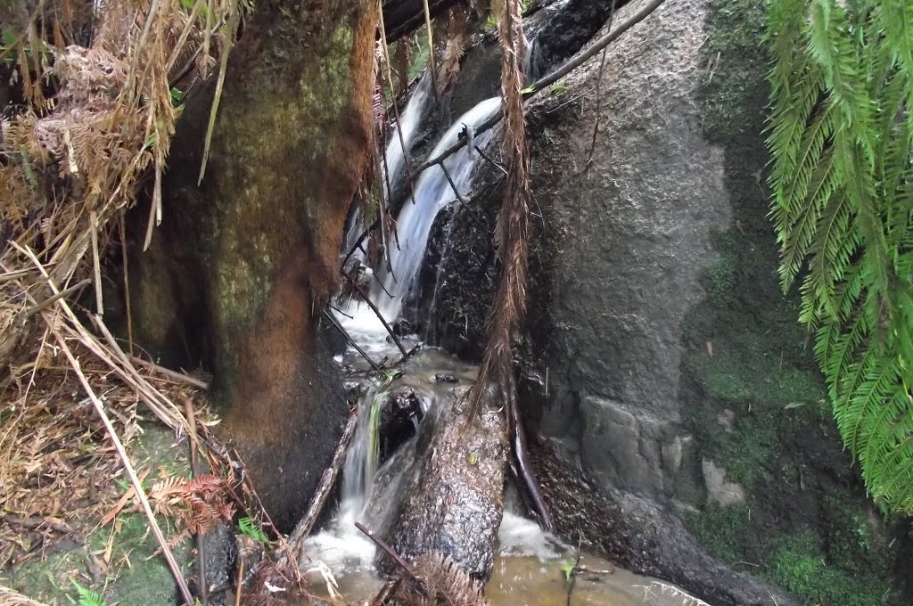
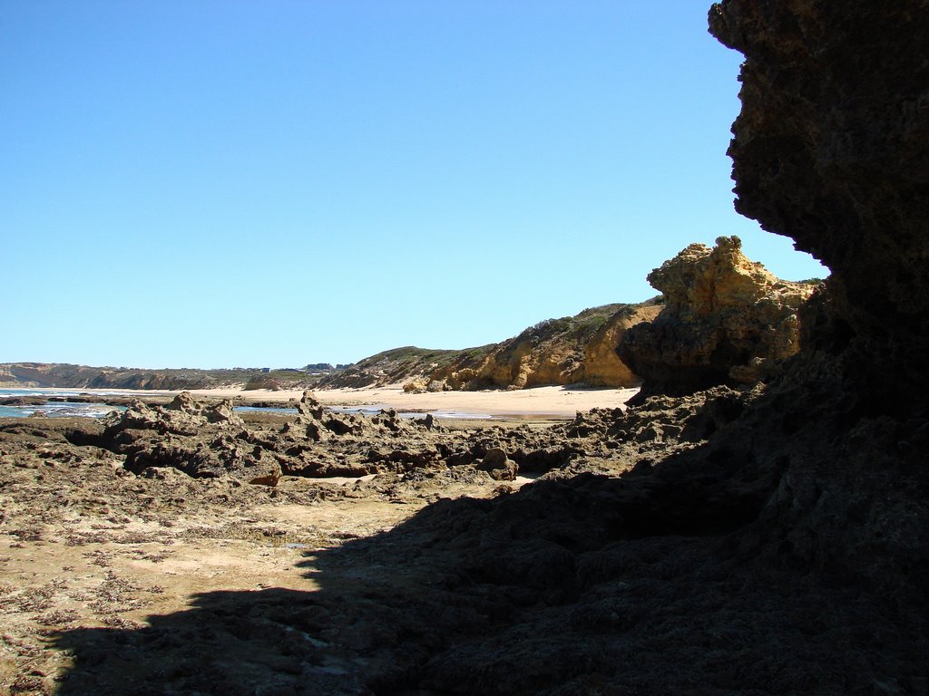
Photos of Dropmore
Dropmore Weather

Predicción: Overcast clouds
Temperatura: 6.7°
Humedad: 96%
Hora actual: 12:00 AM
Amanece: 08:45 PM
Anochece: 07:50 AM
Torquay, Australia
Latitude: -38.3265 // Longitude: 144.316
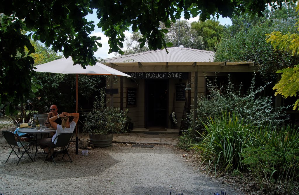
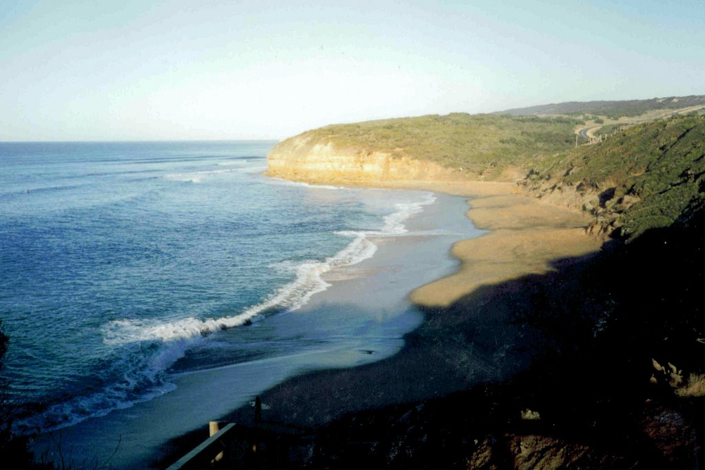
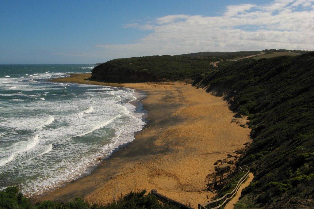
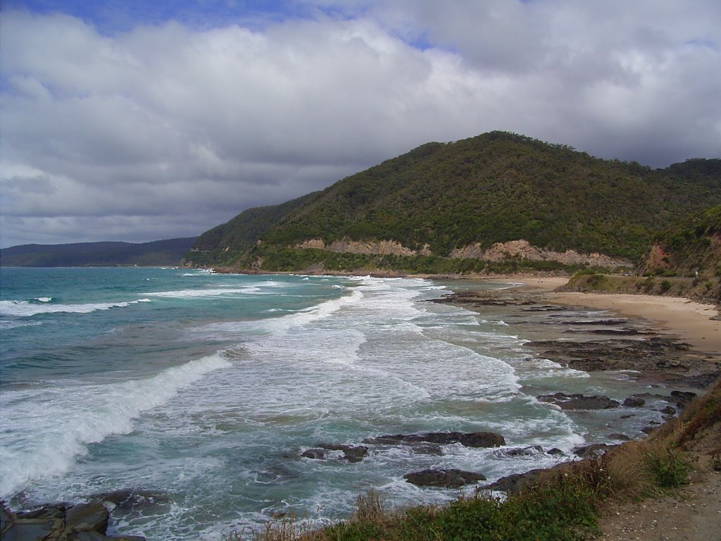
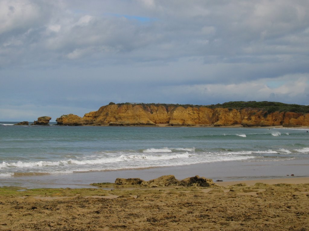
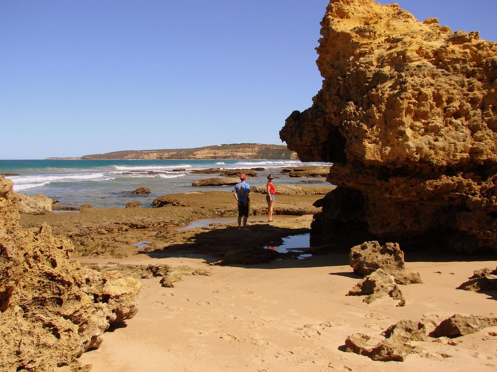
Photos of Torquay
Torquay Weather

Predicción: Overcast clouds
Temperatura: 11.3°
Humedad: 96%
Hora actual: 05:28 AM
Amanece: 06:51 AM
Anochece: 05:52 PM


