Distance between  Dromedary and
  Couta Rocks
166.05 mi Straight Distance
294.10 mi Driving Distance
5 hours 15 mins Estimated Driving Time
The straight distance between Dromedary (Tasmania) and Couta Rocks (Tasmania) is 166.05 mi, but the driving distance is 294.10 mi.
It takes to go from Dromedary to Couta Rocks.
Driving directions from Dromedary to Couta Rocks
Distance in kilometers
Straight distance: 267.17 km. Route distance: 473.20 km
Dromedary, Australia
Latitude: -42.7386 // Longitude: 147.172
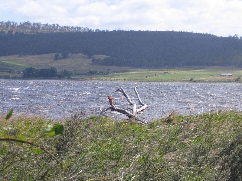
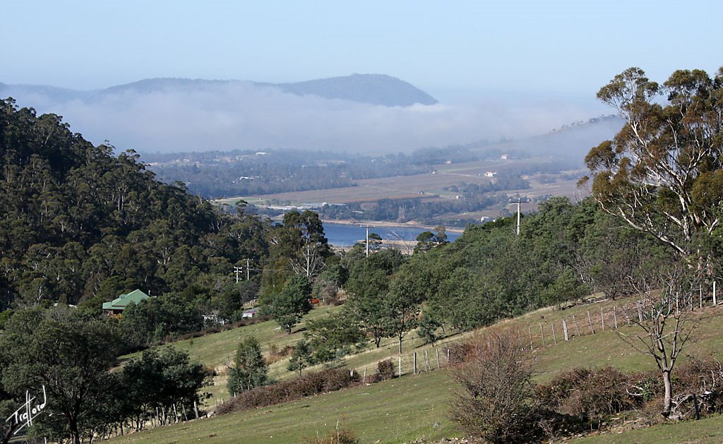
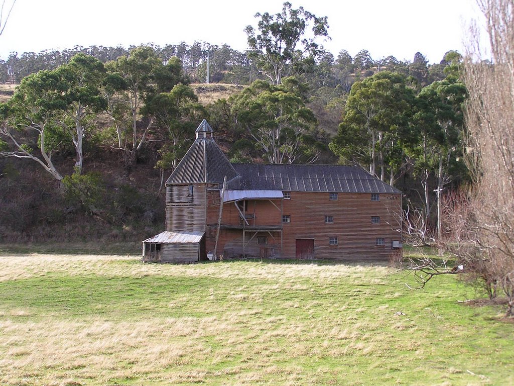
Photos of Dromedary
Dromedary Weather

Predicción: Overcast clouds
Temperatura: 10.6°
Humedad: 87%
Hora actual: 11:43 PM
Amanece: 06:47 AM
Anochece: 05:34 PM
Couta Rocks, Australia
Latitude: -41.1763 // Longitude: 144.716
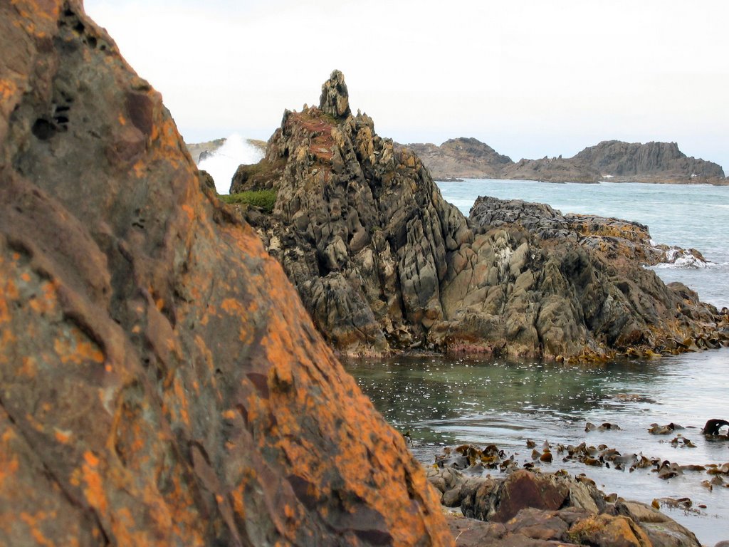
Photos of Couta Rocks
Couta Rocks Weather

Predicción: Overcast clouds
Temperatura: 12.0°
Humedad: 78%
Hora actual: 11:00 AM
Amanece: 06:54 AM
Anochece: 05:45 PM


