Distance between  Dooen and
  Gowar East
67.98 mi Straight Distance
78.30 mi Driving Distance
1 hour 19 mins Estimated Driving Time
The straight distance between Dooen (Victoria) and Gowar East (Victoria) is 67.98 mi, but the driving distance is 78.30 mi.
It takes 1 hour 21 mins to go from Dooen to Gowar East.
Driving directions from Dooen to Gowar East
Distance in kilometers
Straight distance: 109.38 km. Route distance: 125.98 km
Dooen, Australia
Latitude: -36.6902 // Longitude: 142.202
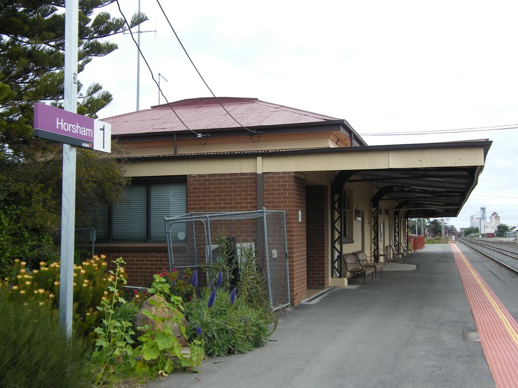
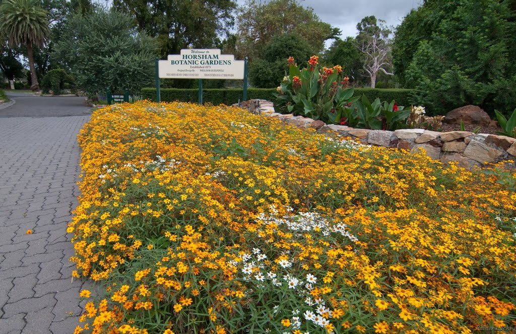
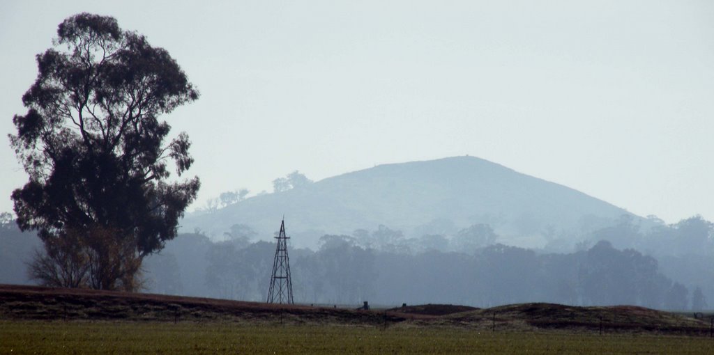
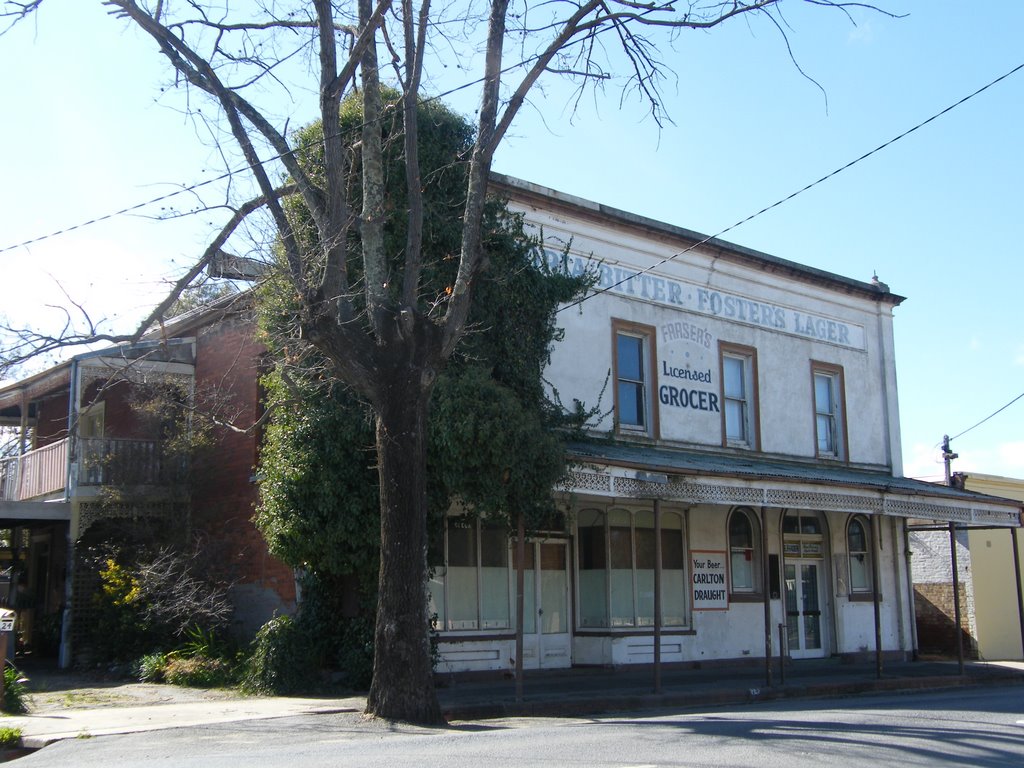
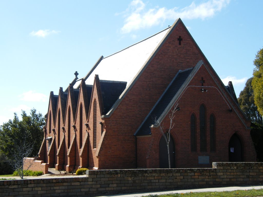
Photos of Dooen
Dooen Weather

Predicción: Few clouds
Temperatura: 16.4°
Humedad: 53%
Hora actual: 11:24 AM
Amanece: 07:00 AM
Anochece: 06:00 PM
Gowar East, Australia
Latitude: -36.5479 // Longitude: 143.415
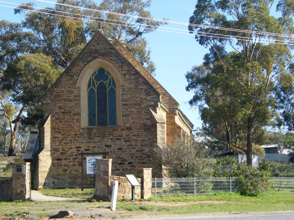
Photos of Gowar East
Gowar East Weather

Predicción: Few clouds
Temperatura: 16.5°
Humedad: 49%
Hora actual: 10:00 AM
Amanece: 06:55 AM
Anochece: 05:55 PM


