Distance between  Donnelly River and
  Arrowsmith
317.22 mi Straight Distance
368.24 mi Driving Distance
6 hours 0 mins Estimated Driving Time
The straight distance between Donnelly River (Western Australia) and Arrowsmith (Western Australia) is 317.22 mi, but the driving distance is 368.24 mi.
It takes 6 hours 24 mins to go from Donnelly River to Arrowsmith.
Driving directions from Donnelly River to Arrowsmith
Distance in kilometers
Straight distance: 510.41 km. Route distance: 592.50 km
Donnelly River, Australia
Latitude: -34.1085 // Longitude: 115.992
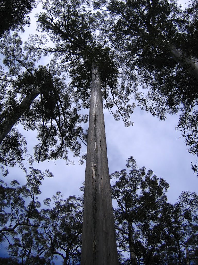
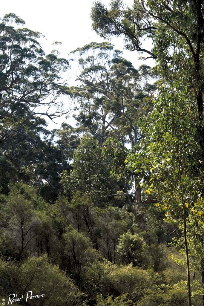
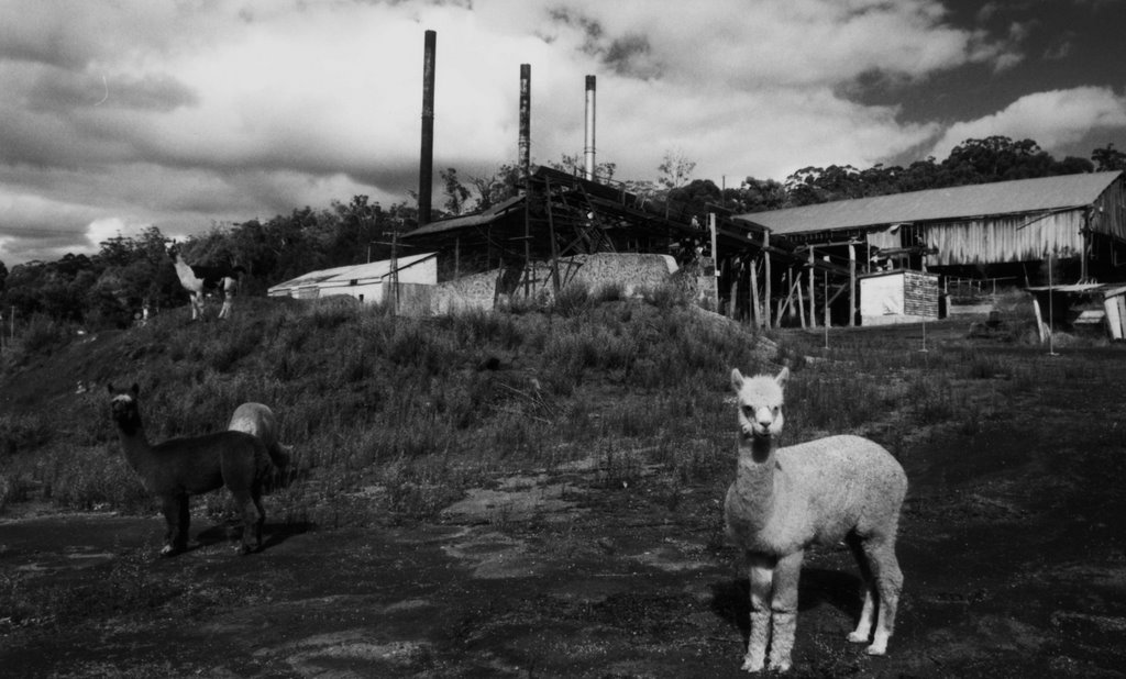
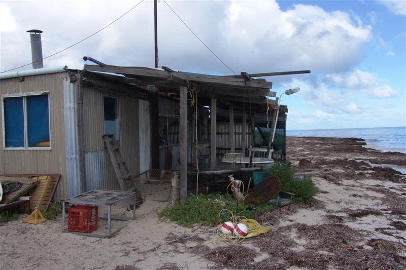
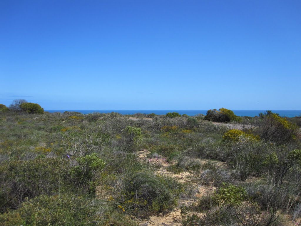
Photos of Donnelly River
Donnelly River Weather

Predicción: Few clouds
Temperatura: 16.8°
Humedad: 84%
Hora actual: 12:00 AM
Amanece: 10:40 PM
Anochece: 09:51 AM
Arrowsmith, Australia
Latitude: -29.5775 // Longitude: 115.119
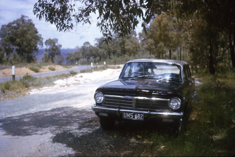
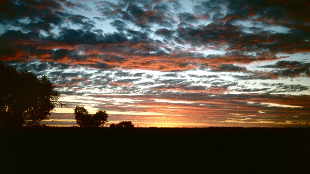
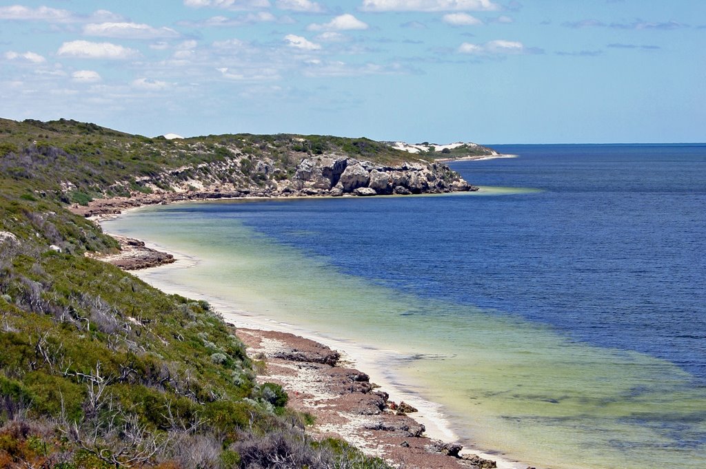
Photos of Arrowsmith
Arrowsmith Weather

Predicción: Clear sky
Temperatura: 23.7°
Humedad: 40%
Hora actual: 12:00 AM
Amanece: 10:39 PM
Anochece: 09:59 AM


