Distance between  Dongara and
  Nairne
1,454.59 mi Straight Distance
1,853.28 mi Driving Distance
1 day 5 hours Estimated Driving Time
The straight distance between Dongara (Western Australia) and Nairne (South Australia) is 1,454.59 mi, but the driving distance is 1,853.28 mi.
It takes to go from Dongara to Nairne.
Driving directions from Dongara to Nairne
Distance in kilometers
Straight distance: 2,340.43 km. Route distance: 2,981.92 km
Dongara, Australia
Latitude: -29.2513 // Longitude: 114.935
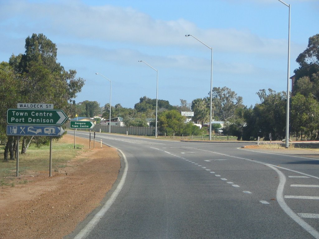
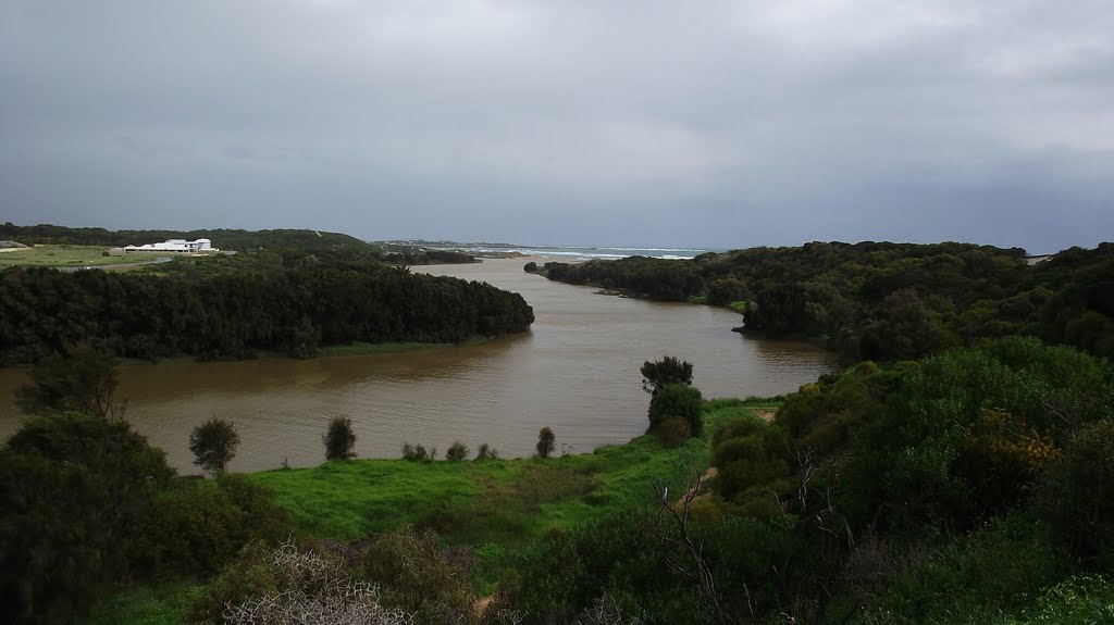
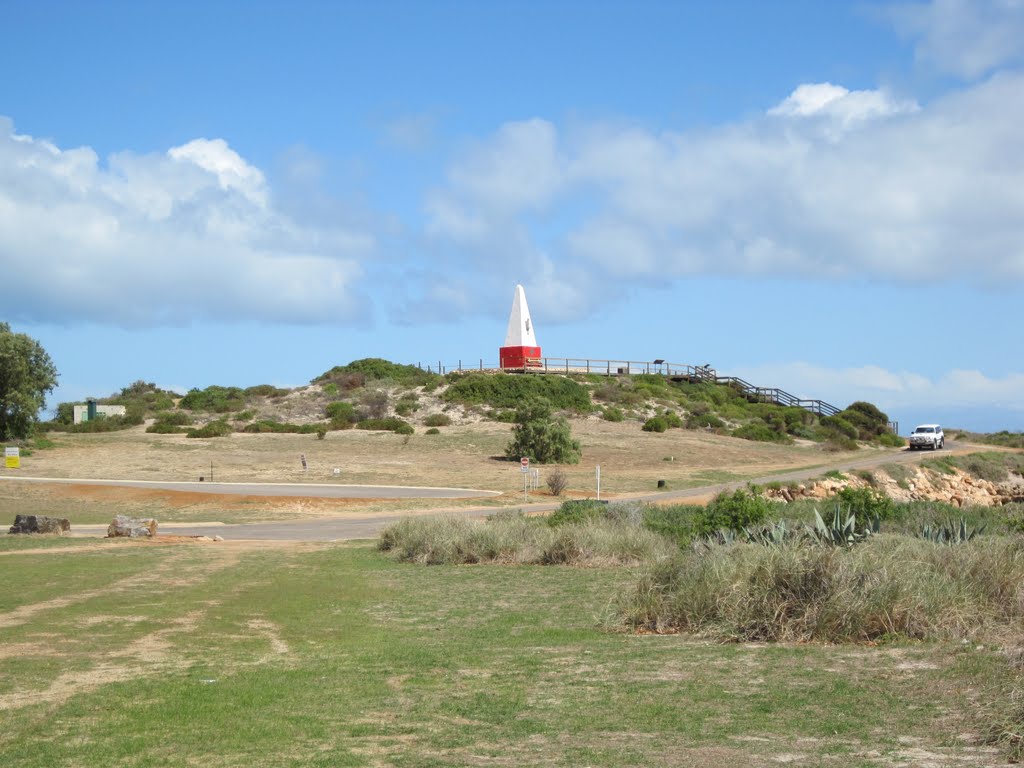
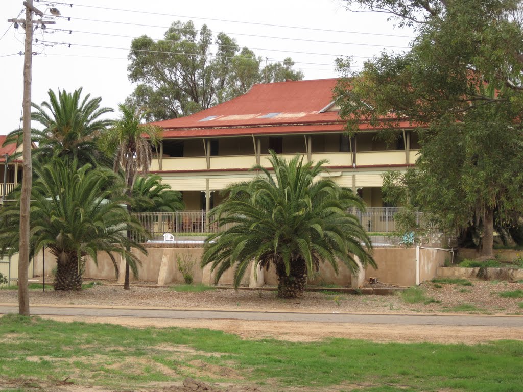
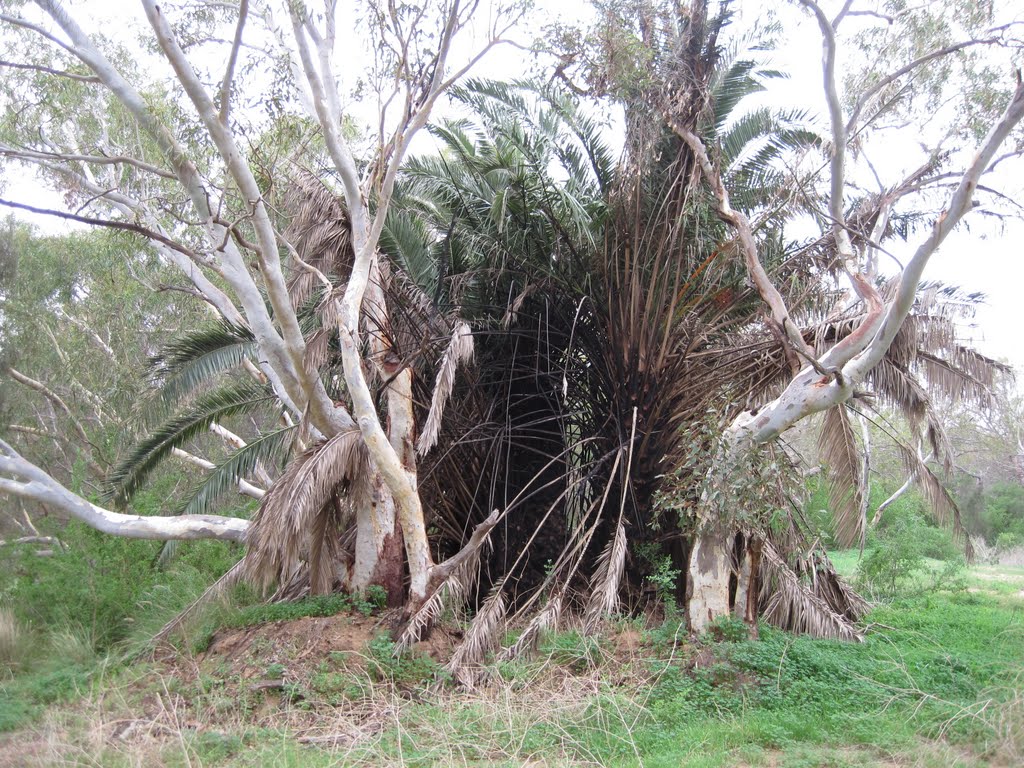
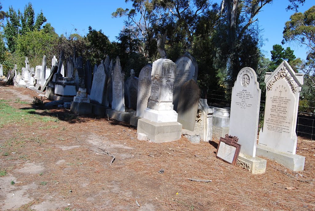
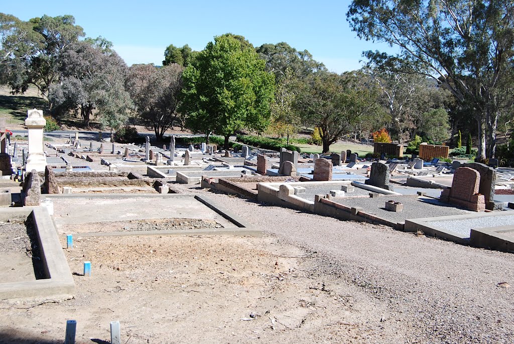
Photos of Dongara
Dongara Weather

Predicción: Clear sky
Temperatura: 25.9°
Humedad: 36%
Hora actual: 12:47 AM
Amanece: 06:40 AM
Anochece: 05:59 PM
Nairne, Australia
Latitude: -35.037 // Longitude: 138.914
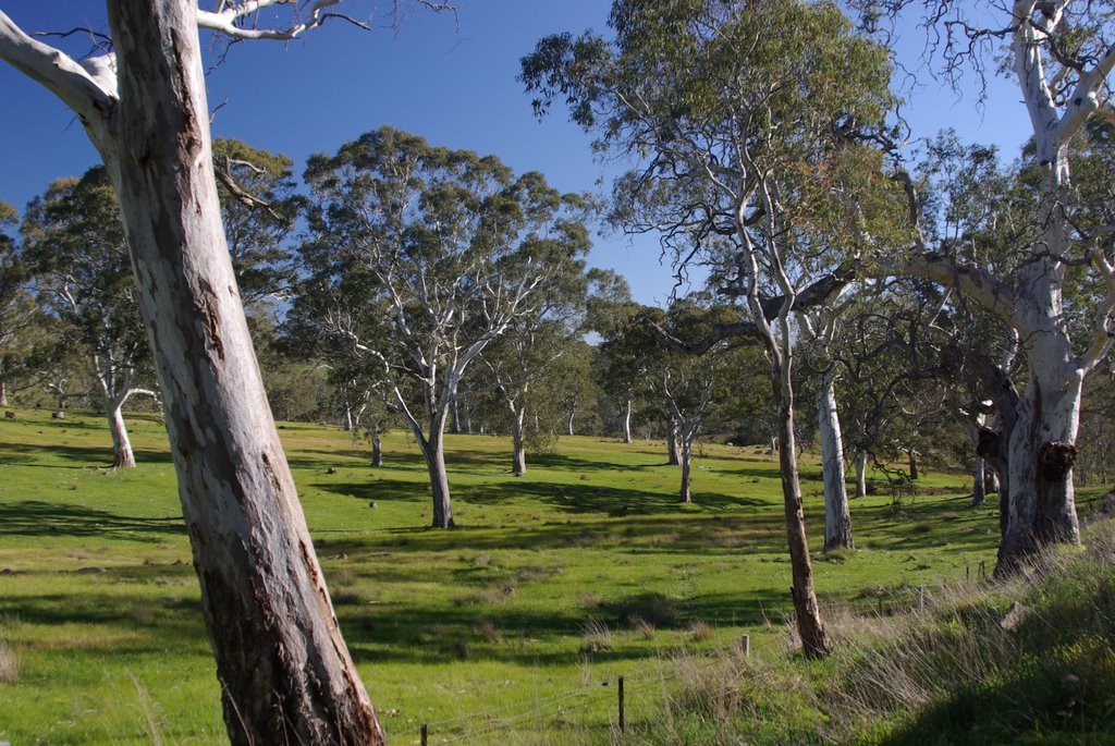
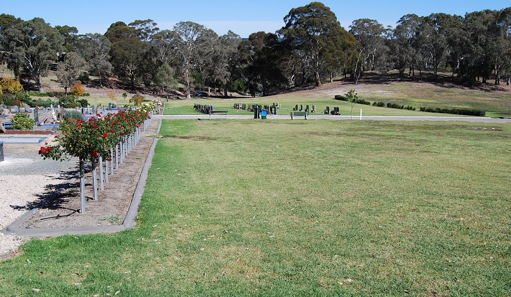
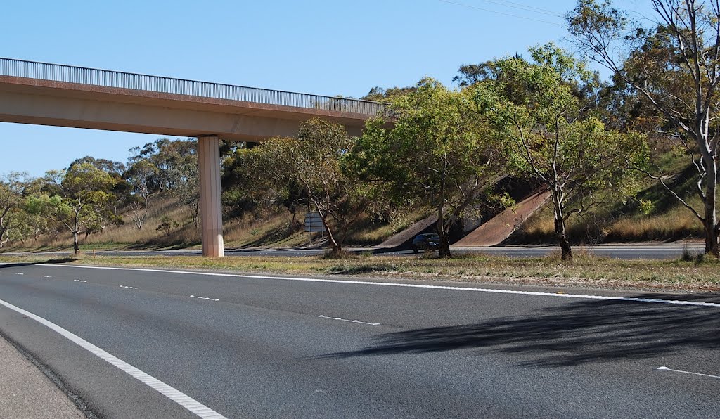
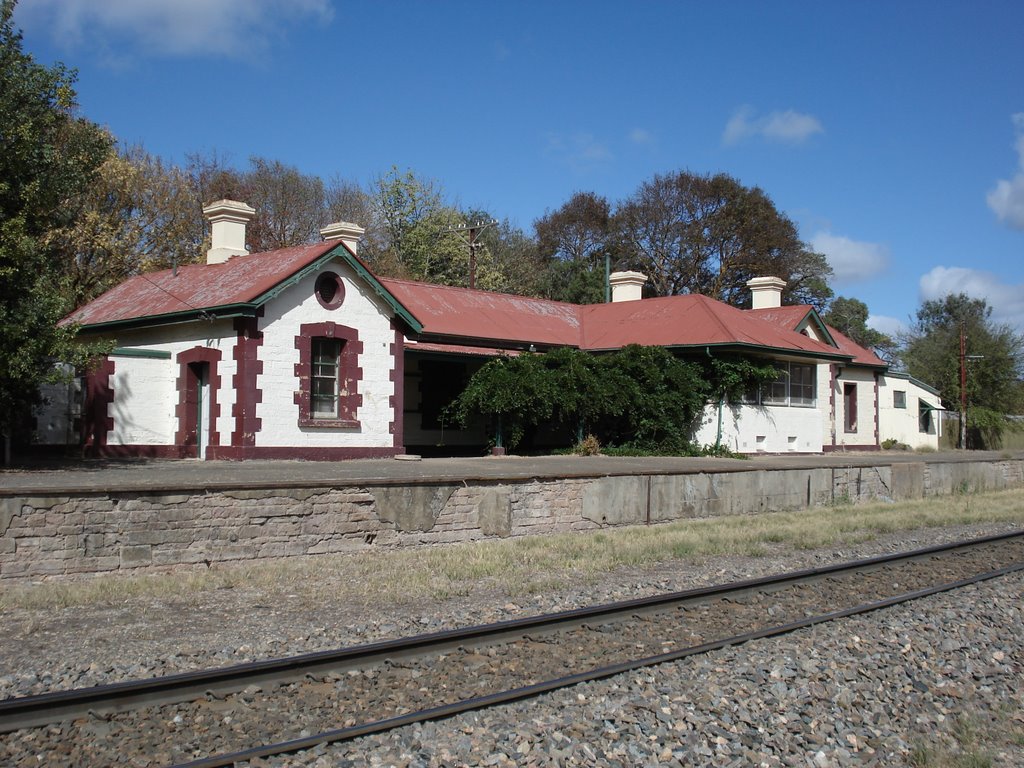
Photos of Nairne
Nairne Weather

Predicción: Scattered clouds
Temperatura: 10.5°
Humedad: 94%
Hora actual: 02:17 AM
Amanece: 06:39 AM
Anochece: 05:47 PM


