Distance between  Derrinallum and
  Tarilta
75.74 mi Straight Distance
101.18 mi Driving Distance
1 hour 53 mins Estimated Driving Time
The straight distance between Derrinallum (Victoria) and Tarilta (Victoria) is 75.74 mi, but the driving distance is 101.18 mi.
It takes 2 hours 9 mins to go from Derrinallum to Tarilta.
Driving directions from Derrinallum to Tarilta
Distance in kilometers
Straight distance: 121.87 km. Route distance: 162.80 km
Derrinallum, Australia
Latitude: -37.9483 // Longitude: 143.223
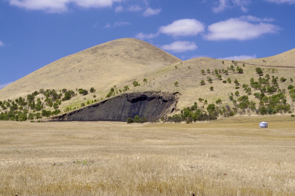
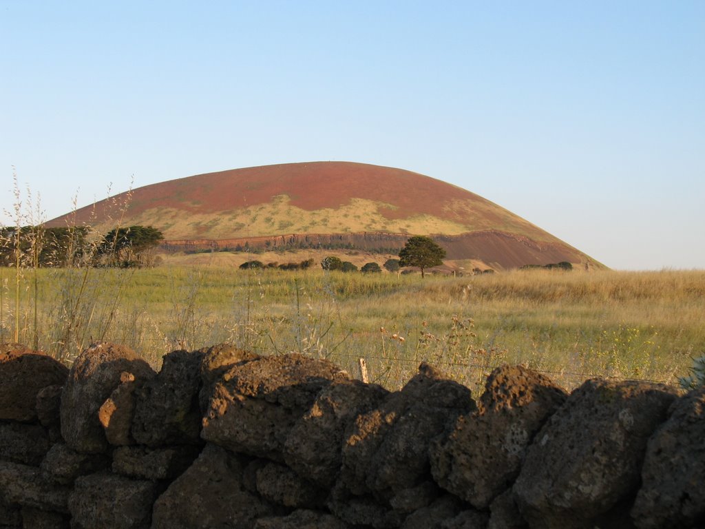
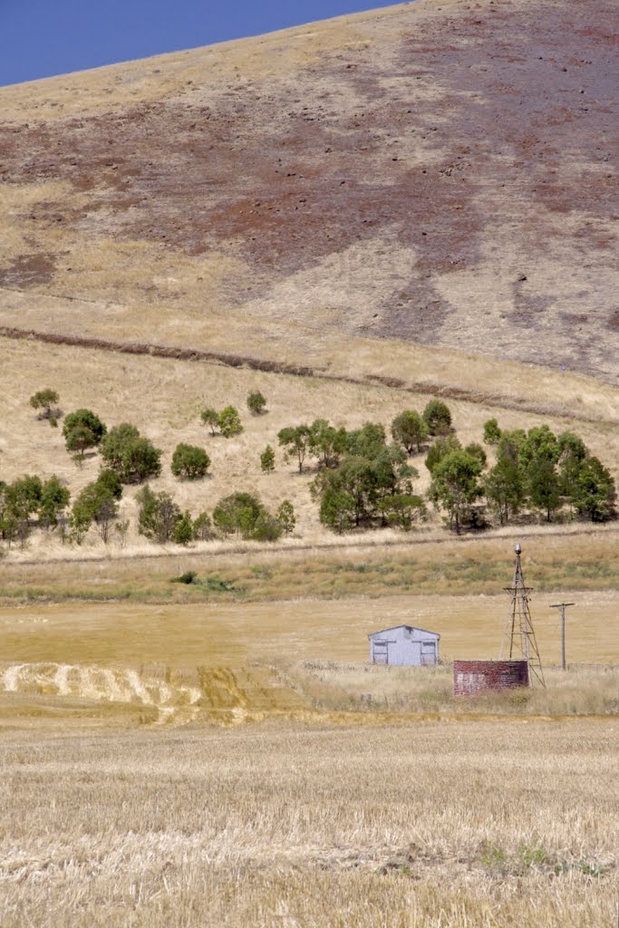
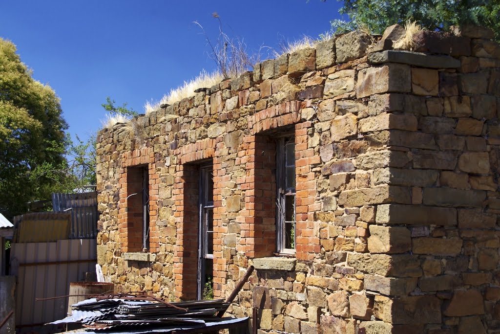
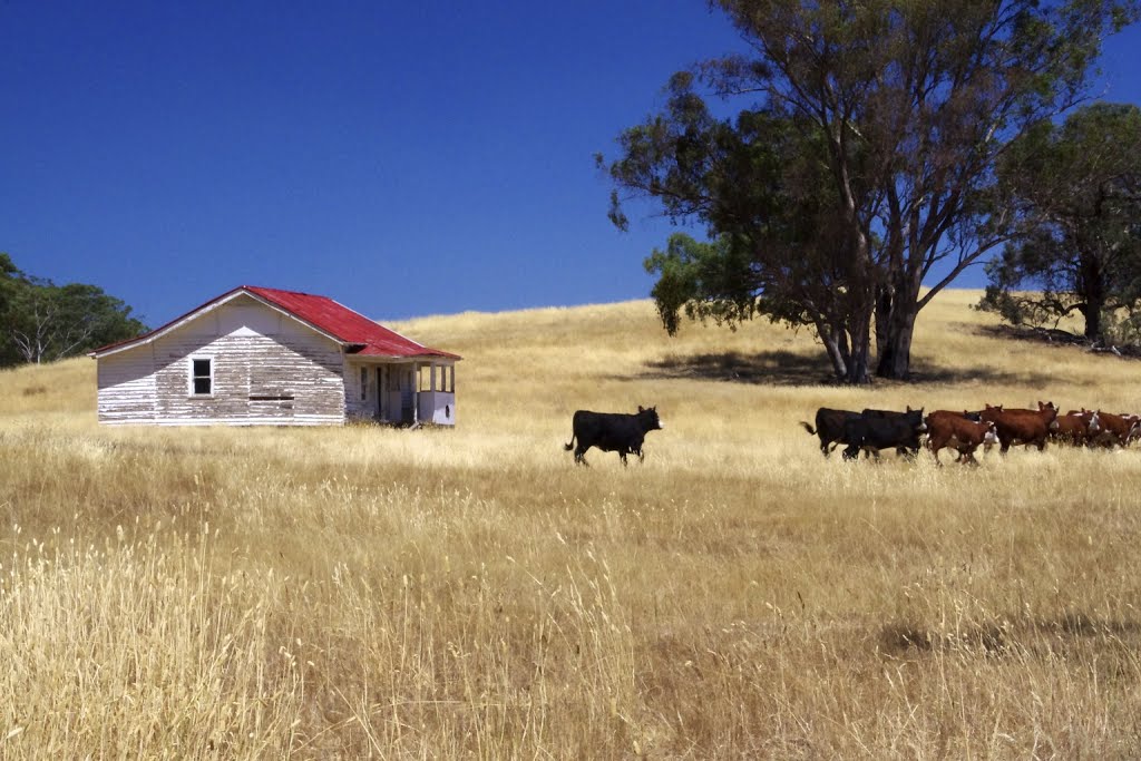
Photos of Derrinallum
Derrinallum Weather

Predicción: Overcast clouds
Temperatura: 12.8°
Humedad: 83%
Hora actual: 12:00 AM
Amanece: 08:57 PM
Anochece: 07:55 AM
Tarilta, Australia
Latitude: -37.1662 // Longitude: 144.192
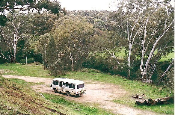
Photos of Tarilta
Tarilta Weather

Predicción: Light rain
Temperatura: 11.7°
Humedad: 74%
Hora actual: 12:00 AM
Amanece: 08:52 PM
Anochece: 07:52 AM


