Distance between  Derby and
  Bulong
935.94 mi Straight Distance
1,367.75 mi Driving Distance
1 day 1 hour Estimated Driving Time
The straight distance between Derby (Western Australia) and Bulong (Western Australia) is 935.94 mi, but the driving distance is 1,367.75 mi.
It takes to go from Derby to Bulong.
Driving directions from Derby to Bulong
Distance in kilometers
Straight distance: 1,505.93 km. Route distance: 2,200.71 km
Derby, Australia
Latitude: -17.3037 // Longitude: 123.63
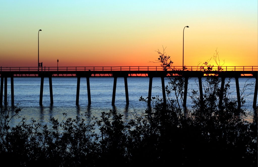
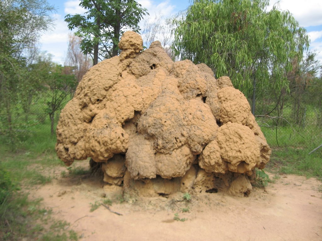
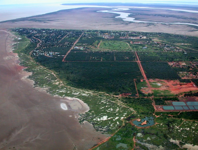
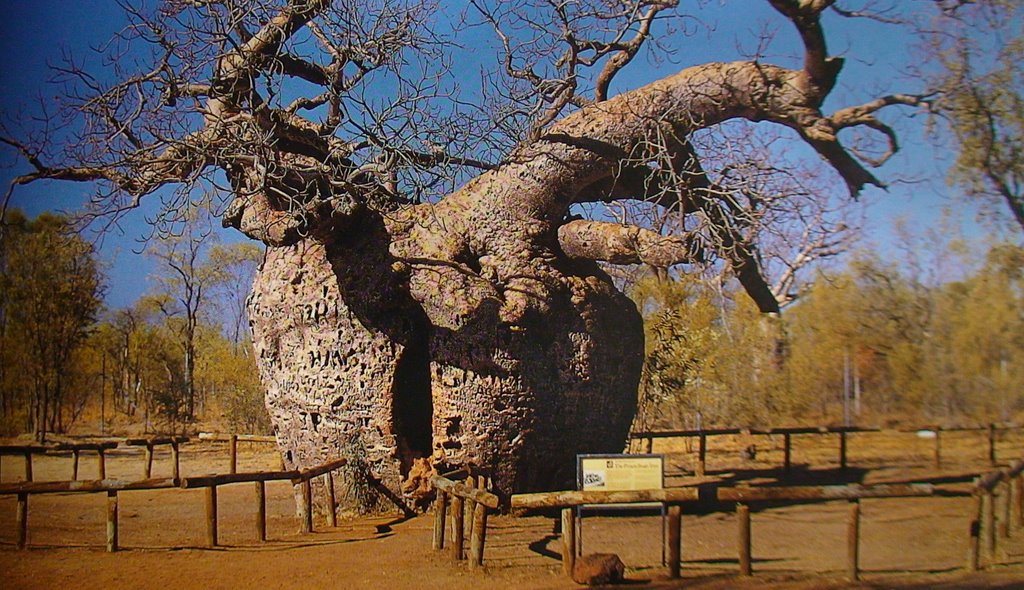
Photos of Derby
Derby Weather

Predicción: Clear sky
Temperatura: 25.5°
Humedad: 33%
Hora actual: 01:19 AM
Amanece: 05:54 AM
Anochece: 05:35 PM
Bulong, Australia
Latitude: -30.746 // Longitude: 121.791
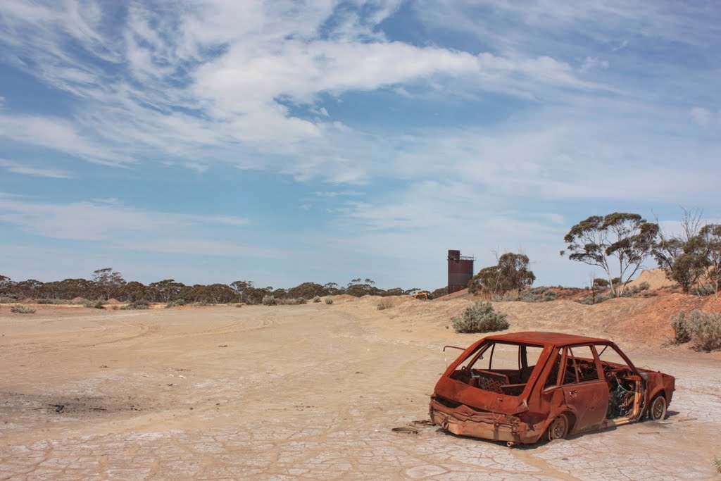
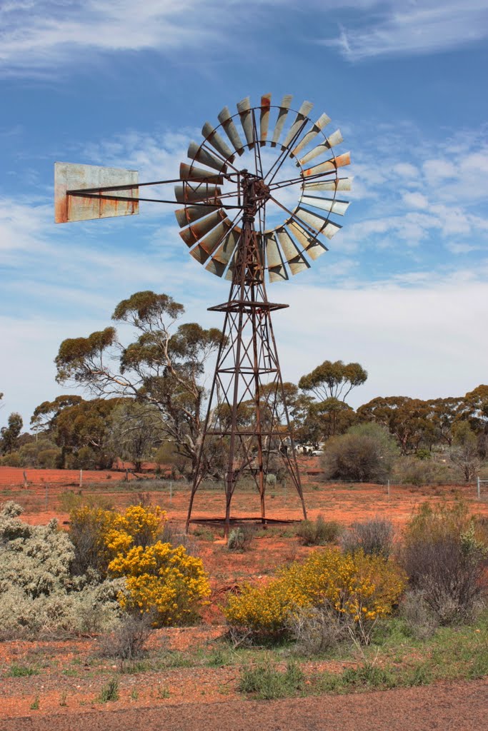
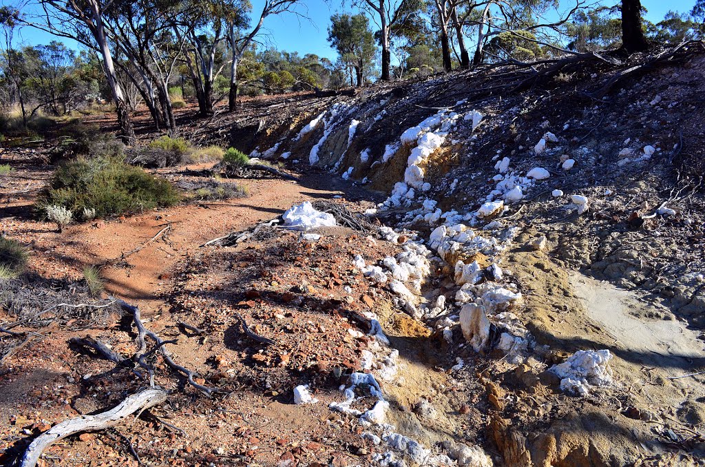
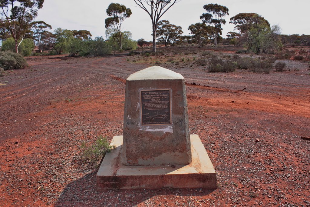
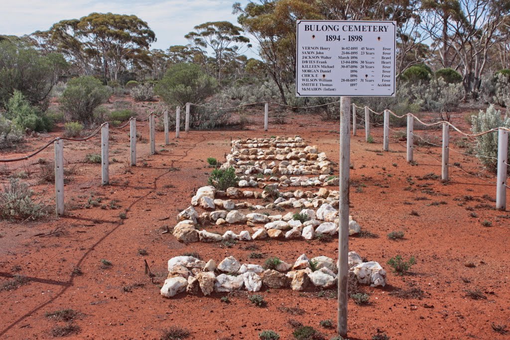
Photos of Bulong
Bulong Weather

Predicción: Clear sky
Temperatura: 16.8°
Humedad: 65%
Hora actual: 08:00 AM
Amanece: 06:14 AM
Anochece: 05:30 PM


