Distance between  Denham and
  Dalyup
722.79 mi Straight Distance
933.08 mi Driving Distance
15 hours 2 mins Estimated Driving Time
The straight distance between Denham (Western Australia) and Dalyup (Western Australia) is 722.79 mi, but the driving distance is 933.08 mi.
It takes 15 hours 9 mins to go from Denham to Dalyup.
Driving directions from Denham to Dalyup
Distance in kilometers
Straight distance: 1,162.96 km. Route distance: 1,501.33 km
Denham, Australia
Latitude: -25.9287 // Longitude: 113.535
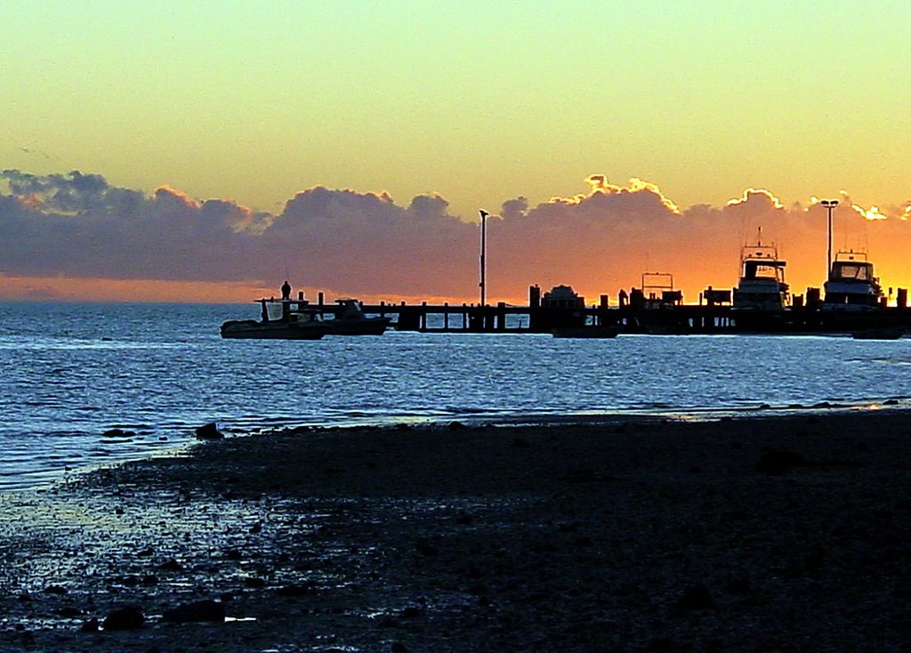
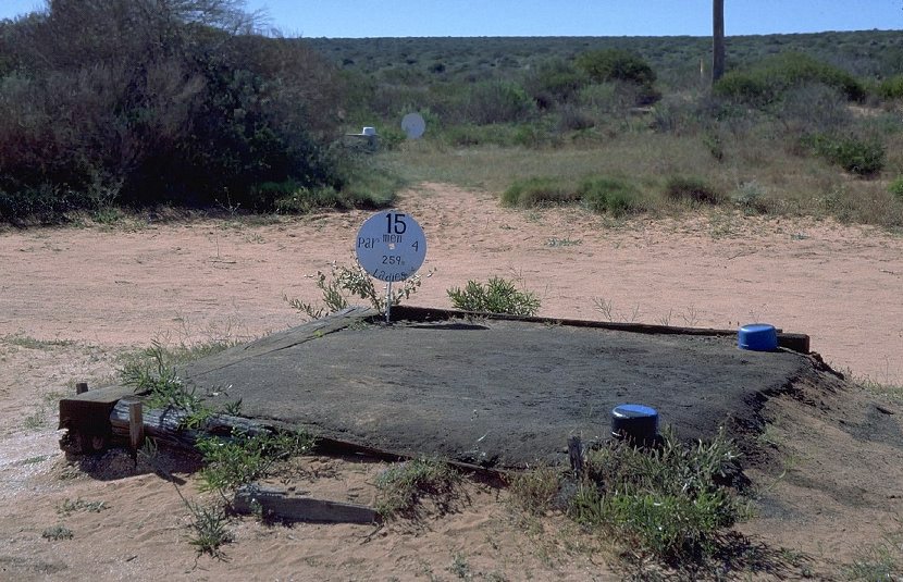
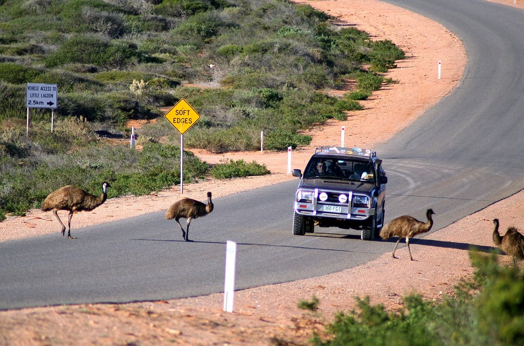
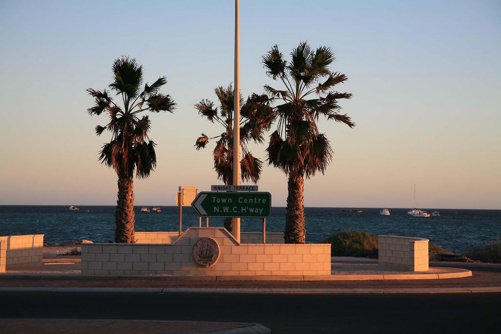
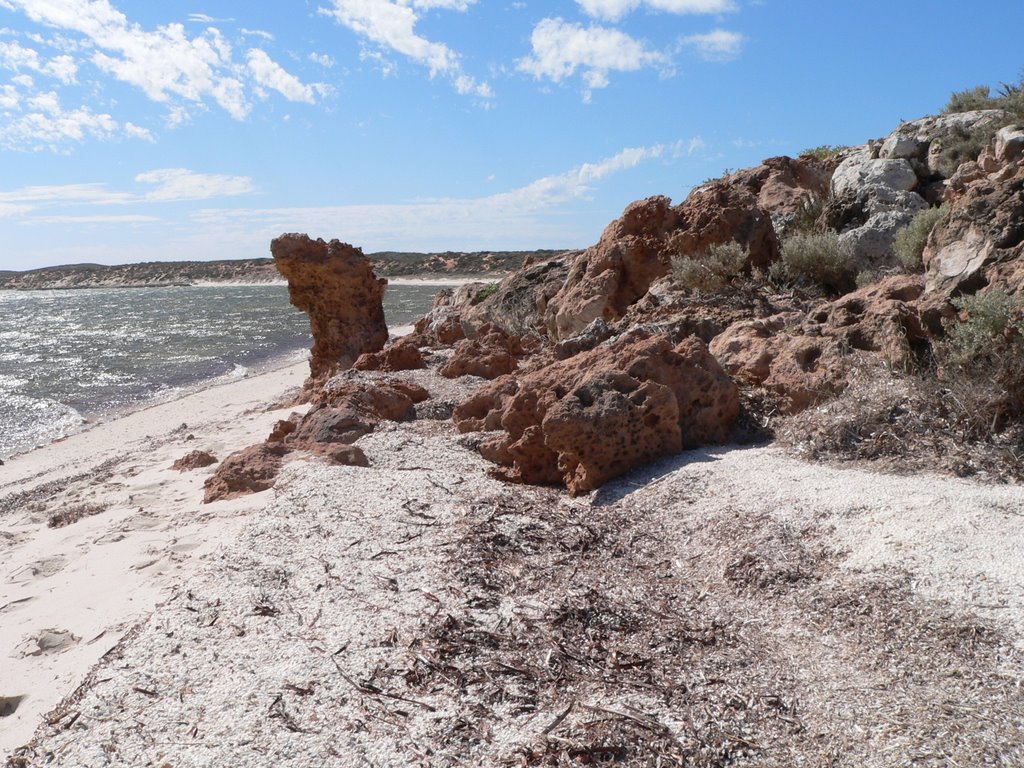
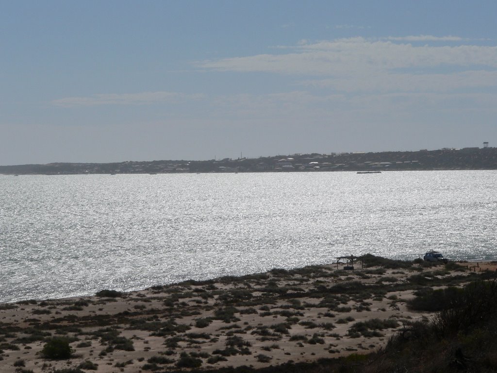
Photos of Denham
Denham Weather

Predicción: Clear sky
Temperatura: 25.8°
Humedad: 67%
Hora actual: 05:34 PM
Amanece: 06:42 AM
Anochece: 06:09 PM
Dalyup, Australia
Latitude: -33.7186 // Longitude: 121.597
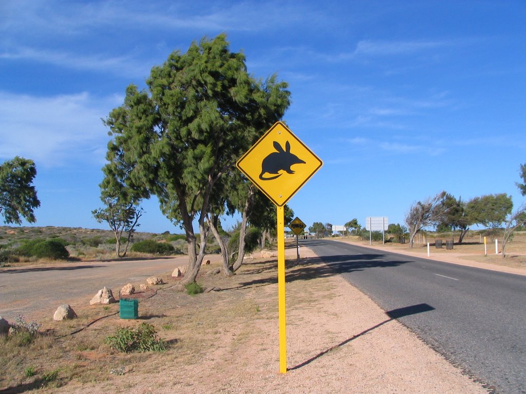
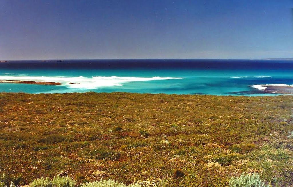
Photos of Dalyup
Dalyup Weather

Predicción: Clear sky
Temperatura: 17.1°
Humedad: 80%
Hora actual: 08:00 AM
Amanece: 06:17 AM
Anochece: 05:29 PM


