Distance between  Dawson and
  Bena
Bena
59.04 mi Straight Distance
78.13 mi Driving Distance
1 hour 38 mins Estimated Driving Time
The straight distance between Dawson (Victoria) and Bena (Victoria) is 59.04 mi, but the driving distance is 78.13 mi.
It takes to go from Dawson to Bena.
Driving directions from Dawson to Bena
Distance in kilometers
Straight distance: 94.99 km. Route distance: 125.72 km
Dawson, Australia
Latitude: -37.973 // Longitude: 146.696
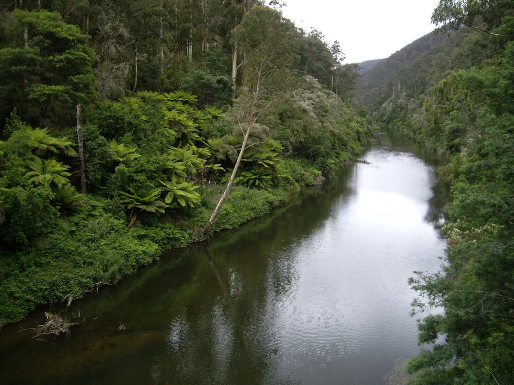
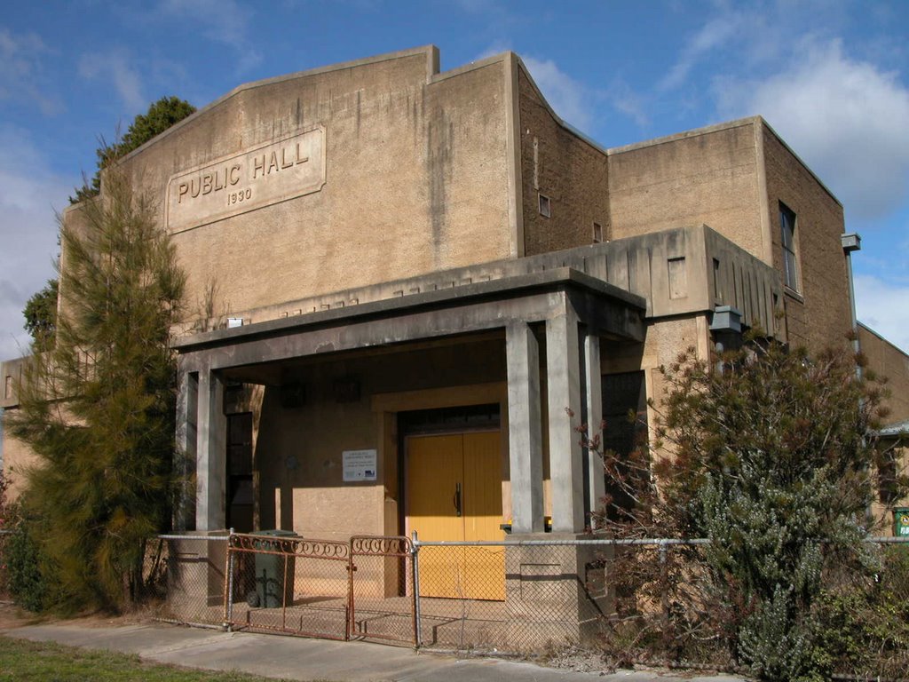
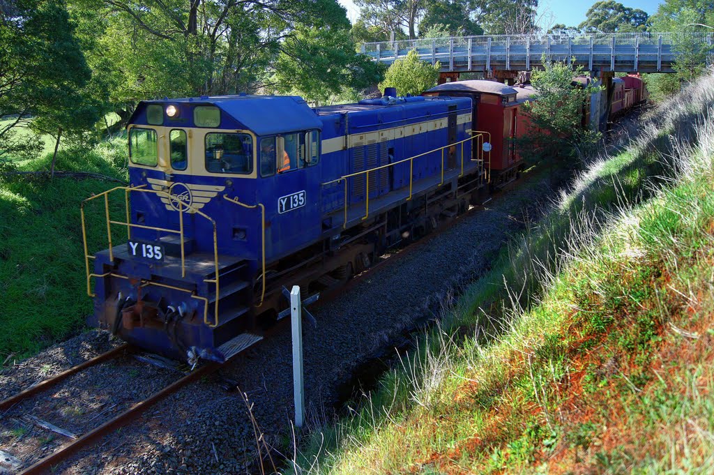
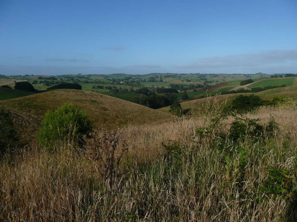
Photos of Dawson
Dawson Weather

Predicción: Light rain
Temperatura: 11.4°
Humedad: 94%
Hora actual: 08:09 AM
Amanece: 06:42 AM
Anochece: 05:43 PM
Bena, Australia
Latitude: -38.4117 // Longitude: 145.763
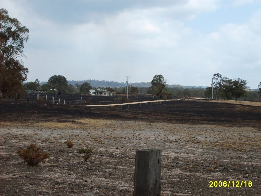
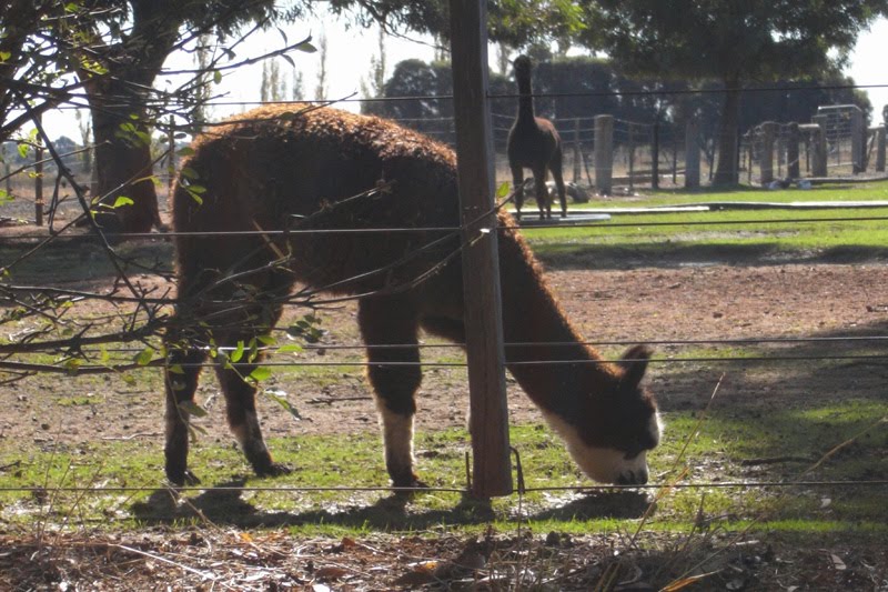
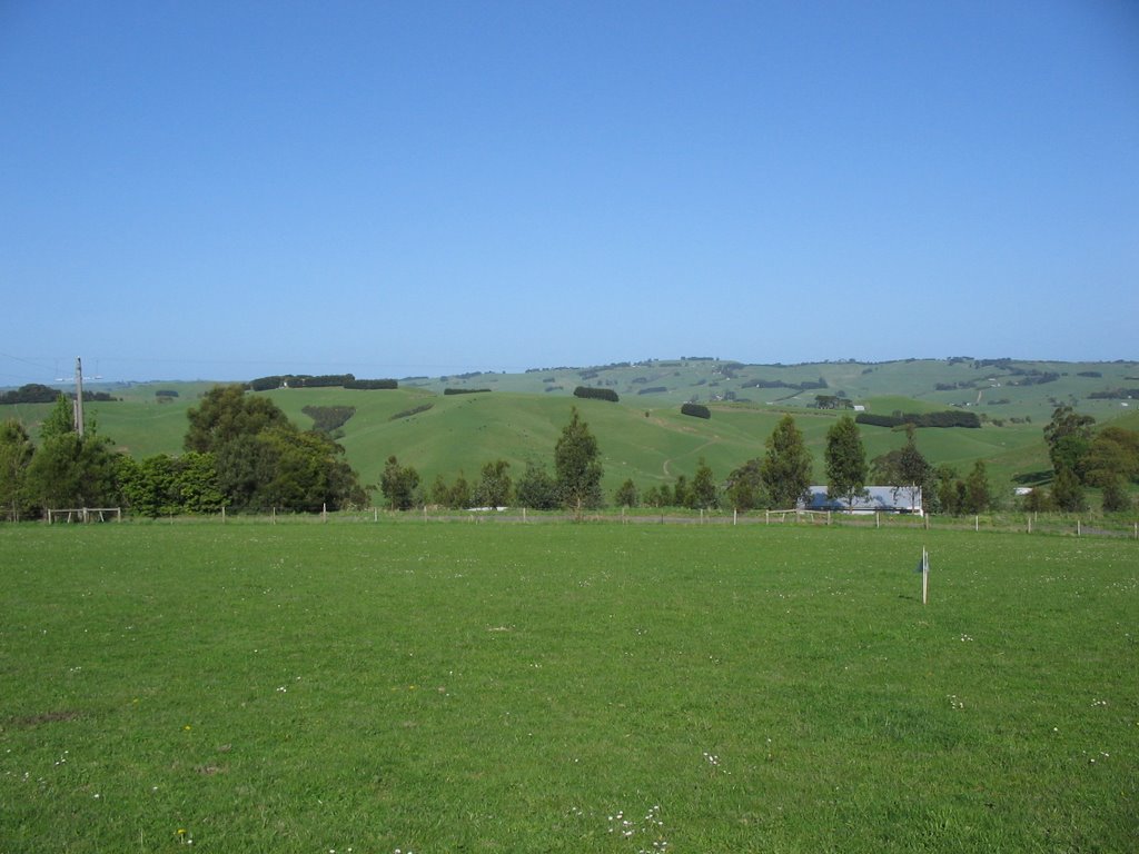
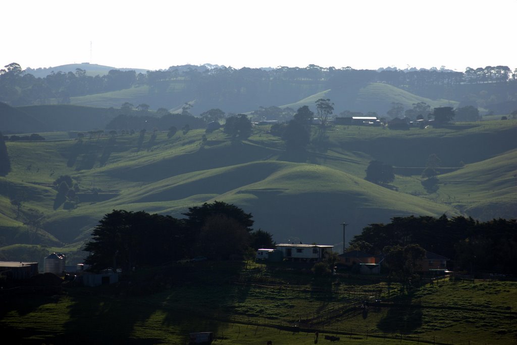
Photos of Bena
Bena Weather

Predicción: Overcast clouds
Temperatura: 9.9°
Humedad: 91%
Hora actual: 08:09 AM
Amanece: 06:46 AM
Anochece: 05:46 PM


