Distance between  Dawesley and
  Clare
Clare
85.57 mi Straight Distance
102.42 mi Driving Distance
1 hour 59 mins Estimated Driving Time
The straight distance between Dawesley (South Australia) and Clare (South Australia) is 85.57 mi, but the driving distance is 102.42 mi.
It takes 2 hours 13 mins to go from Dawesley to Clare.
Driving directions from Dawesley to Clare
Distance in kilometers
Straight distance: 137.67 km. Route distance: 164.79 km
Dawesley, Australia
Latitude: -35.0403 // Longitude: 138.948
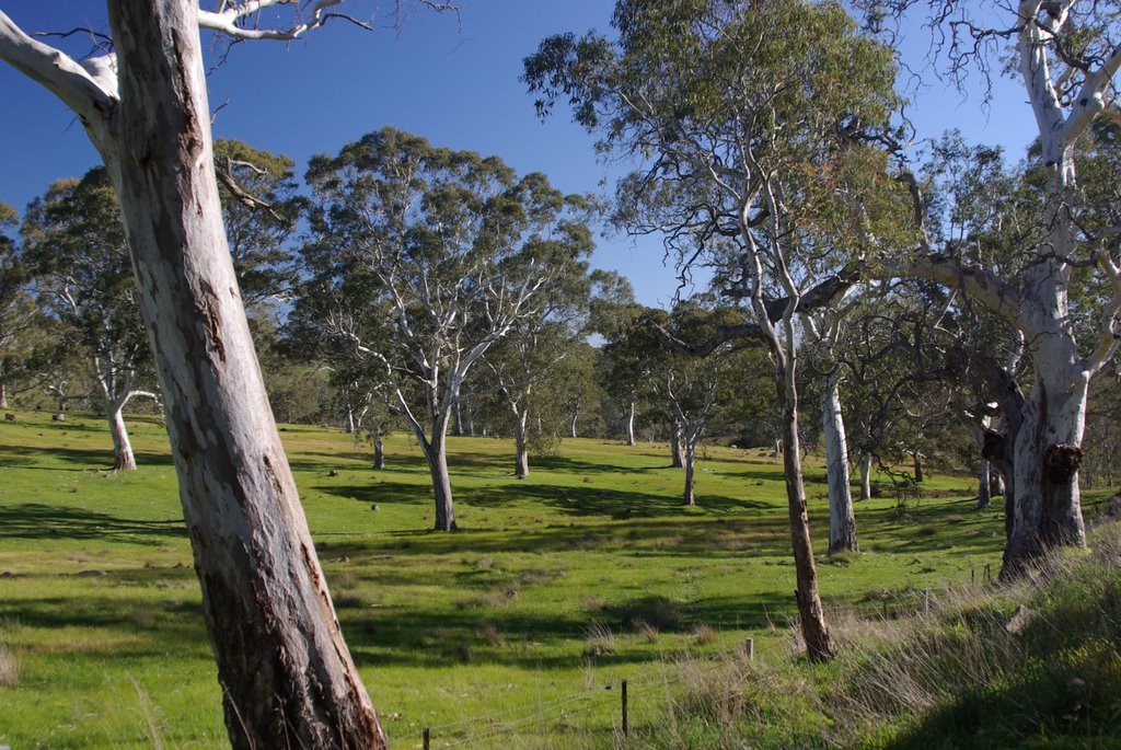
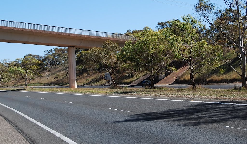
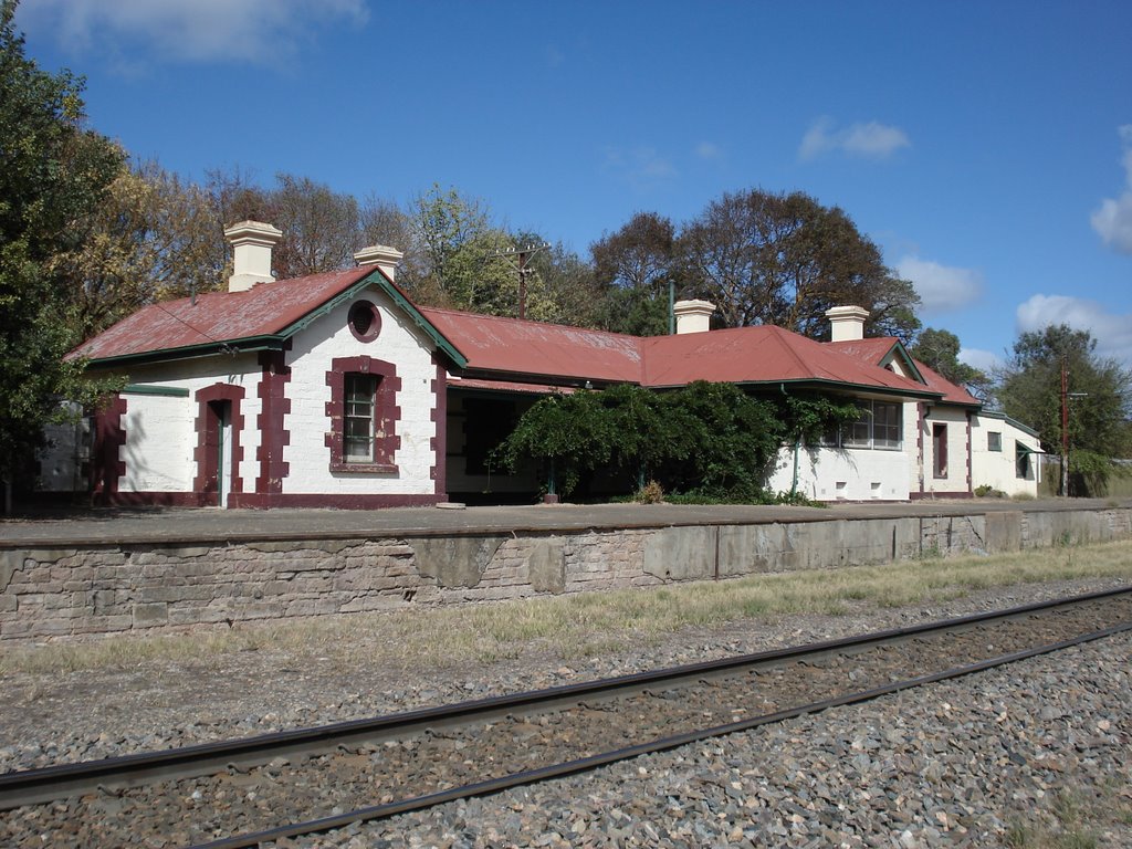
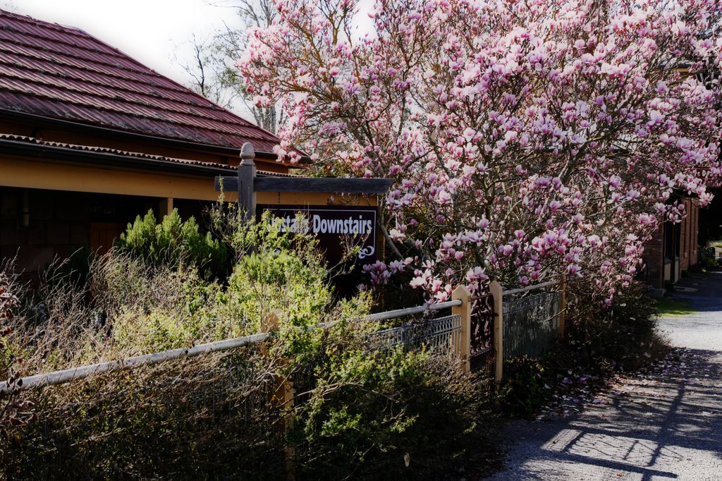
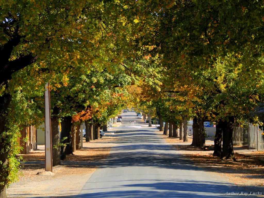
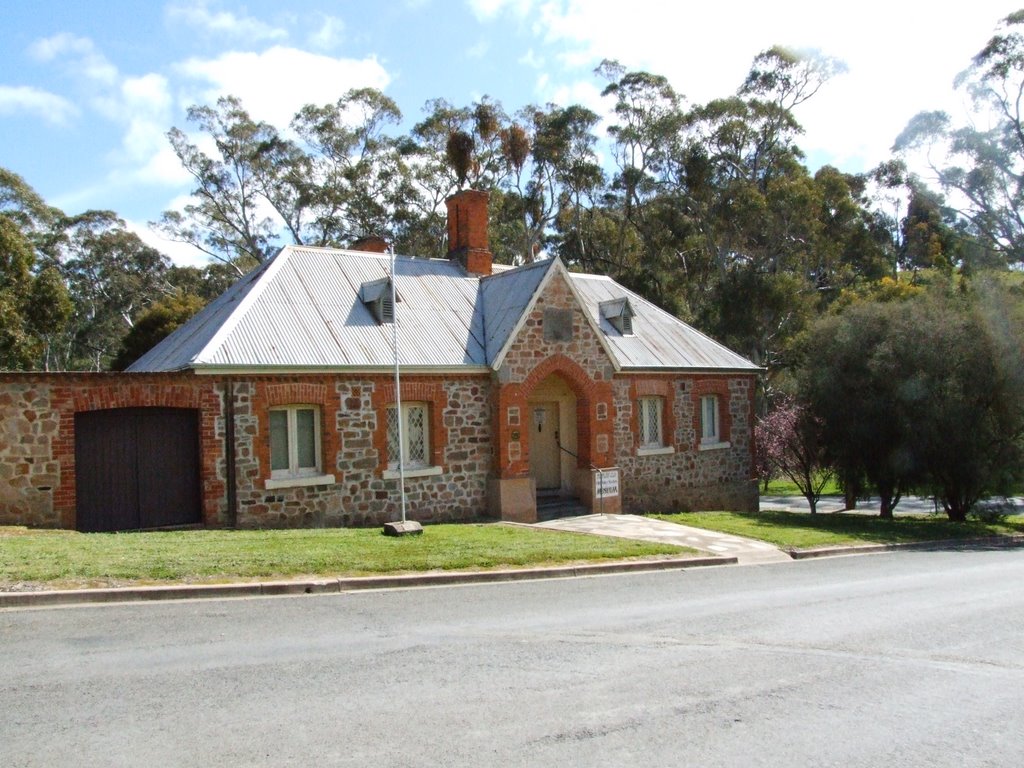
Photos of Dawesley
Dawesley Weather

Predicción: Clear sky
Temperatura: 11.5°
Humedad: 94%
Hora actual: 10:40 PM
Amanece: 06:39 AM
Anochece: 05:48 PM
Clare, Australia
Latitude: -33.8333 // Longitude: 138.612
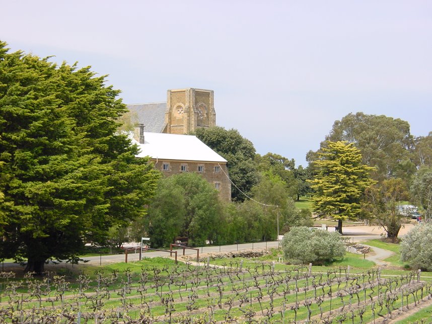
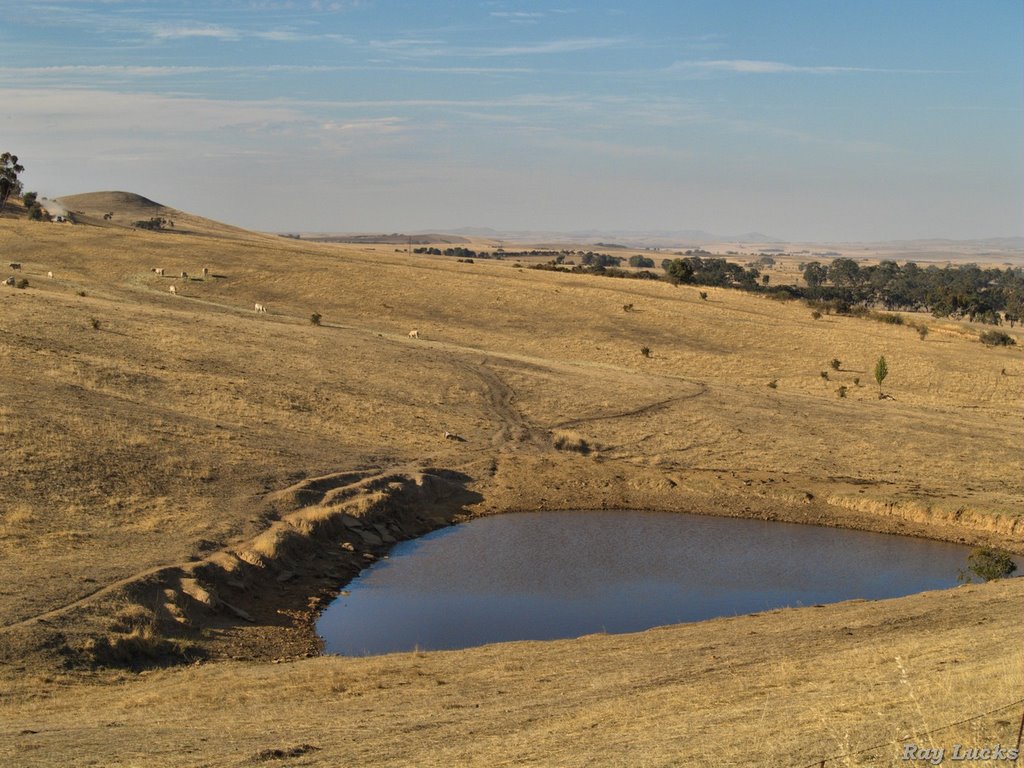
Photos of Clare
Clare Weather

Predicción: Clear sky
Temperatura: 13.5°
Humedad: 81%
Hora actual: 10:40 PM
Amanece: 06:39 AM
Anochece: 05:51 PM


