Distance between  Dardanup and
  Wallaroo
1,255.82 mi Straight Distance
1,579.02 mi Driving Distance
1 day 1 hour Estimated Driving Time
The straight distance between Dardanup (Western Australia) and Wallaroo (South Australia) is 1,255.82 mi, but the driving distance is 1,579.02 mi.
It takes to go from Dardanup to Wallaroo.
Driving directions from Dardanup to Wallaroo
Distance in kilometers
Straight distance: 2,020.61 km. Route distance: 2,540.65 km
Dardanup, Australia
Latitude: -33.398 // Longitude: 115.758
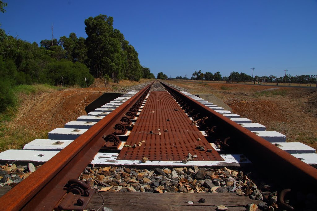
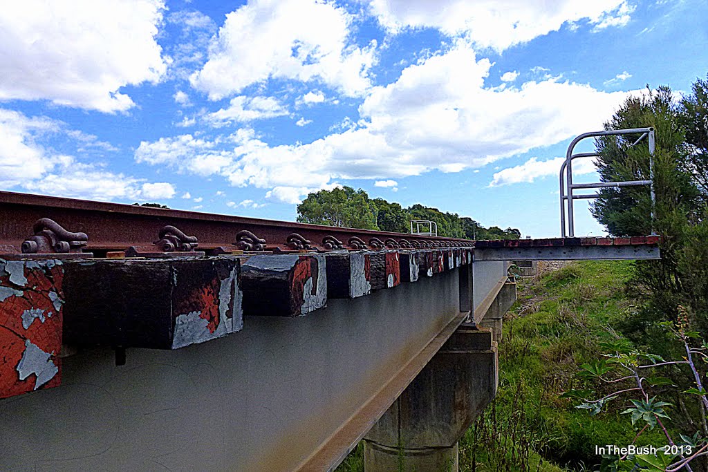
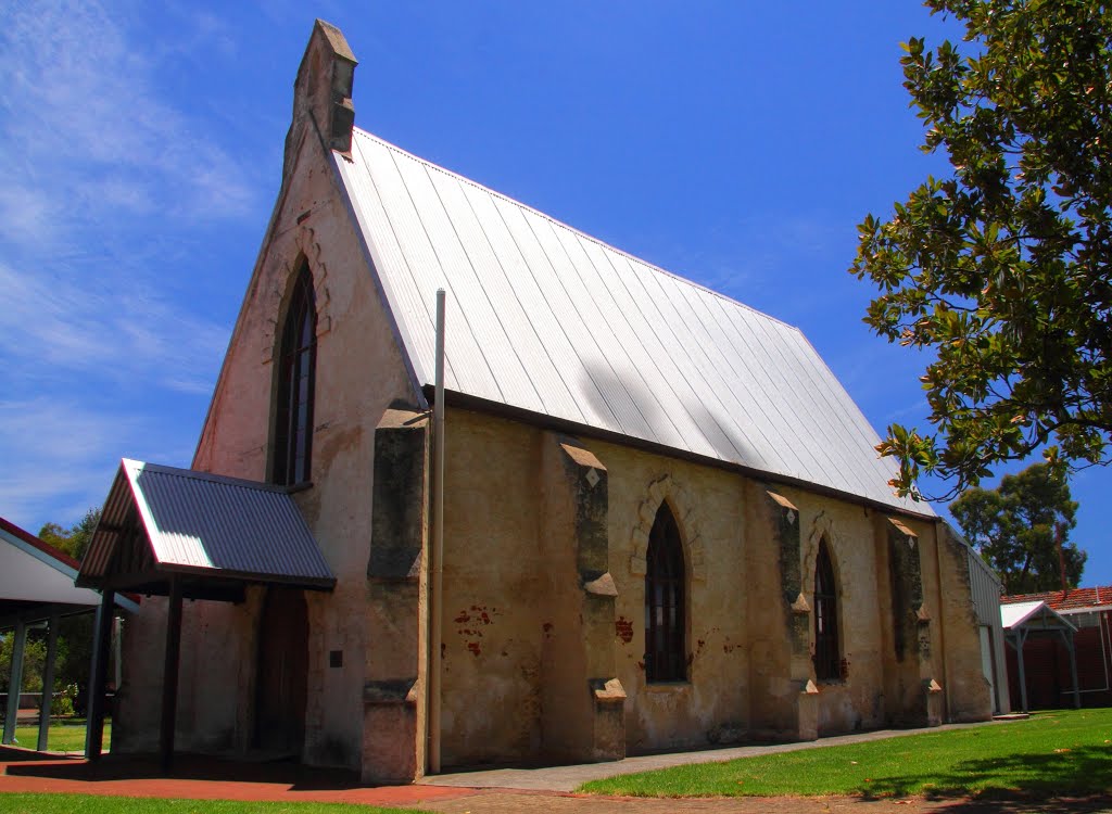
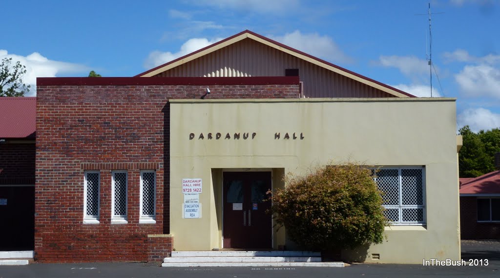
Photos of Dardanup
Dardanup Weather

Predicción: Clear sky
Temperatura: 19.3°
Humedad: 36%
Hora actual: 08:16 AM
Amanece: 06:42 AM
Anochece: 05:49 PM
Wallaroo, Australia
Latitude: -33.932 // Longitude: 137.628
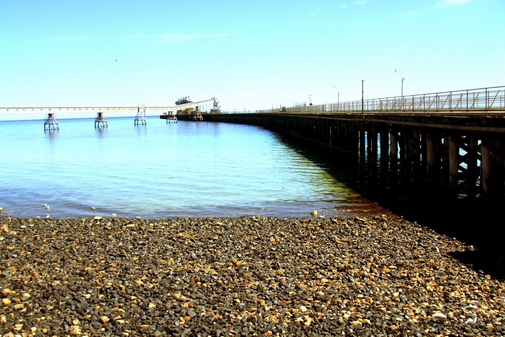
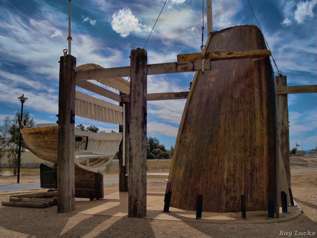
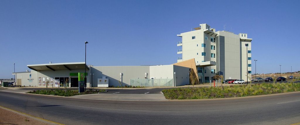
Photos of Wallaroo
Wallaroo Weather

Predicción: Scattered clouds
Temperatura: 17.0°
Humedad: 59%
Hora actual: 09:46 AM
Amanece: 06:45 AM
Anochece: 05:51 PM


