Distance between  Darby River and
  Glenaroua
148.82 mi Straight Distance
201.44 mi Driving Distance
3 hours 43 mins Estimated Driving Time
The straight distance between Darby River (Victoria) and Glenaroua (Victoria) is 148.82 mi, but the driving distance is 201.44 mi.
It takes to go from Darby River to Glenaroua.
Driving directions from Darby River to Glenaroua
Distance in kilometers
Straight distance: 239.45 km. Route distance: 324.12 km
Darby River, Australia
Latitude: -38.9786 // Longitude: 146.313
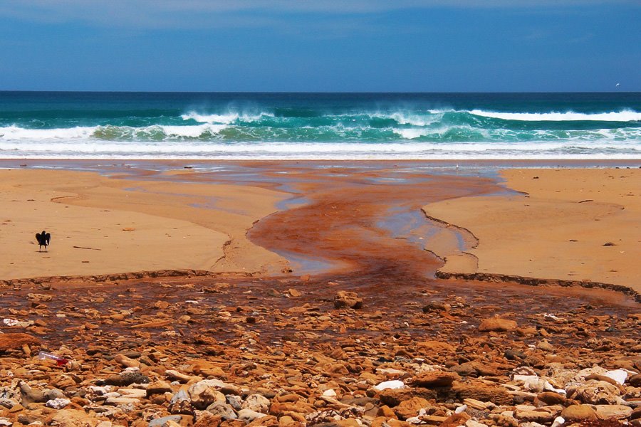
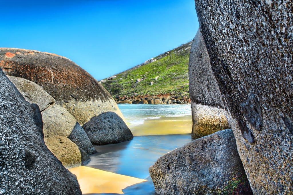
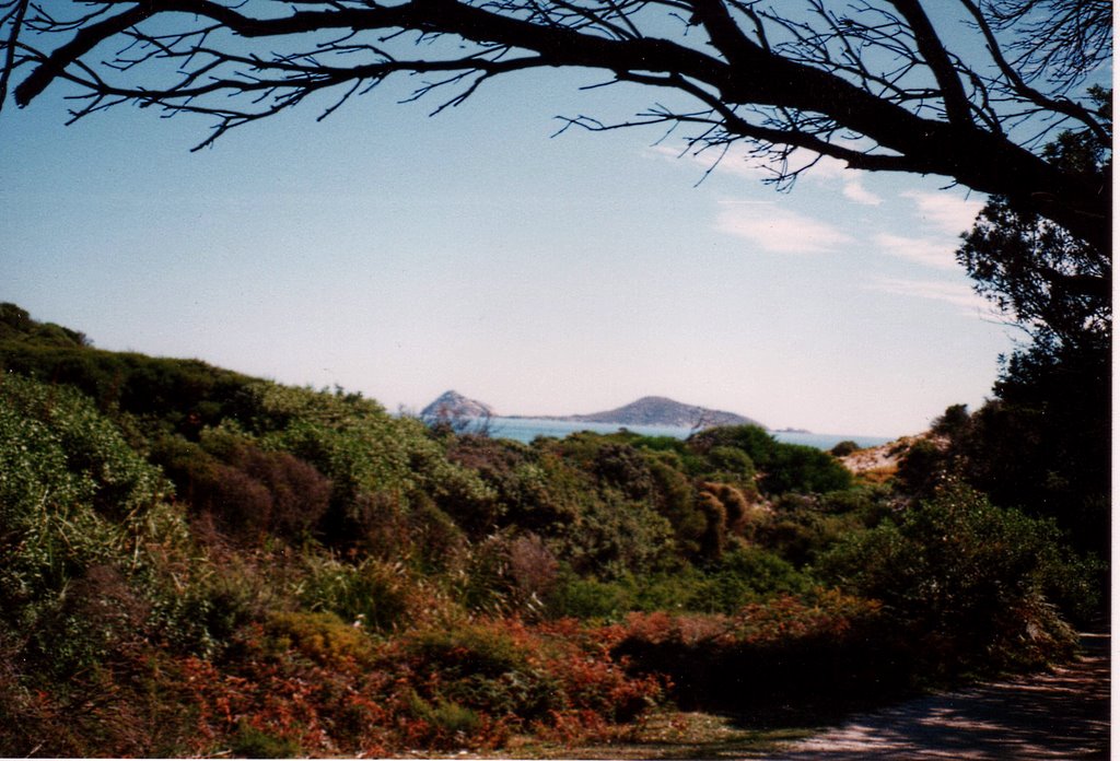
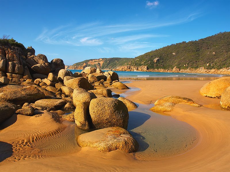
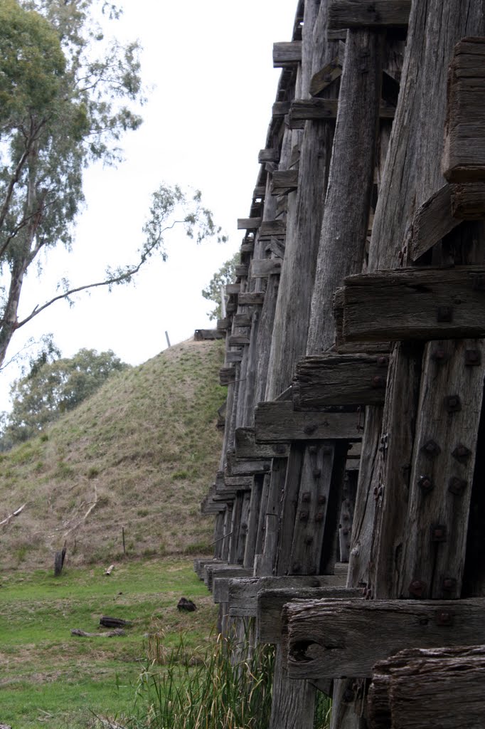
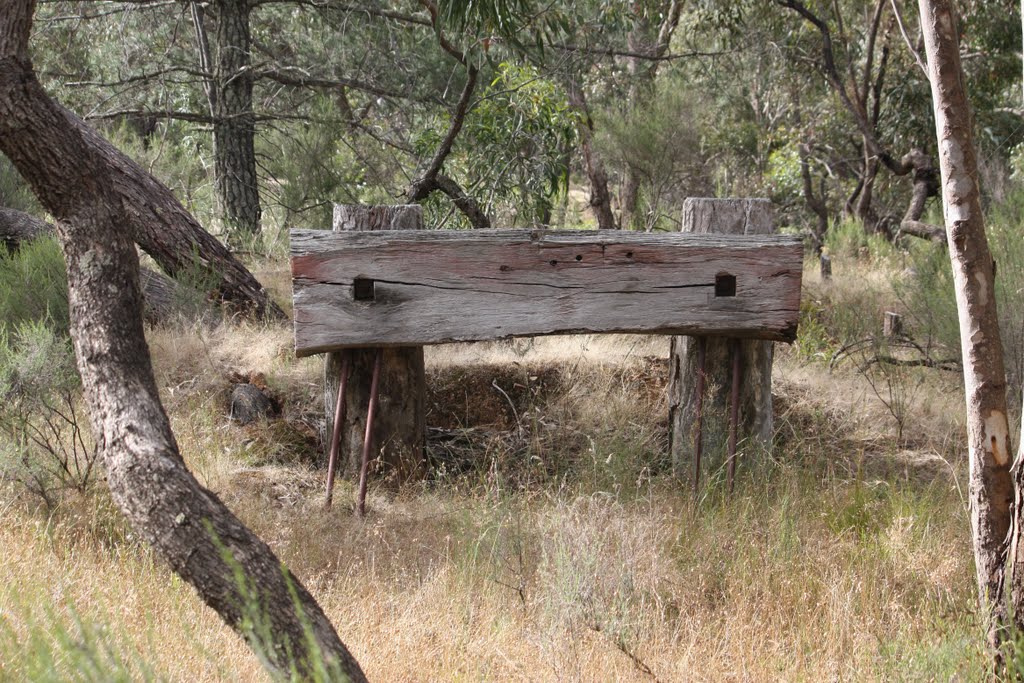
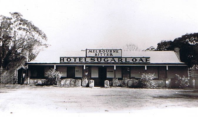
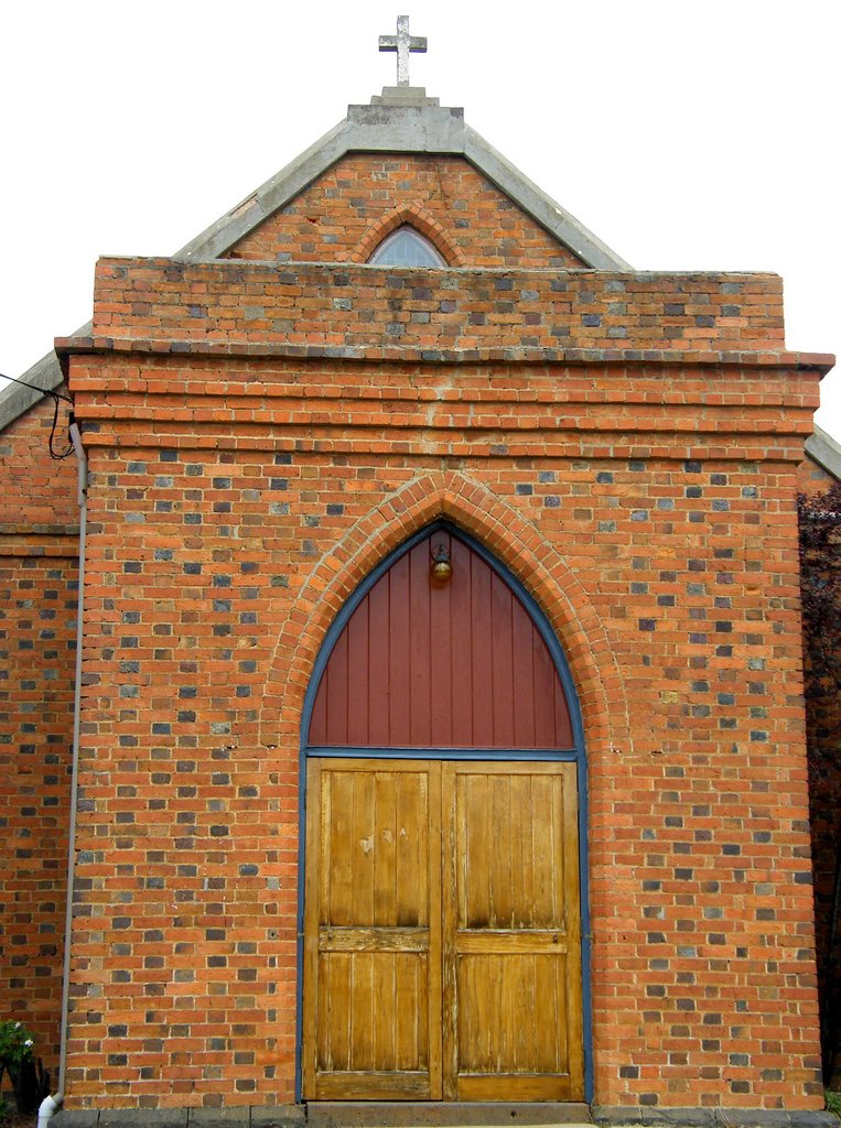
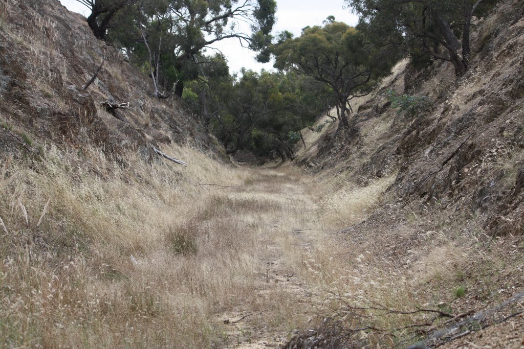
Photos of Darby River
Darby River Weather

Predicción: Broken clouds
Temperatura: 15.0°
Humedad: 73%
Hora actual: 12:00 AM
Amanece: 08:47 PM
Anochece: 07:40 AM
Glenaroua, Australia
Latitude: -37.1112 // Longitude: 144.95
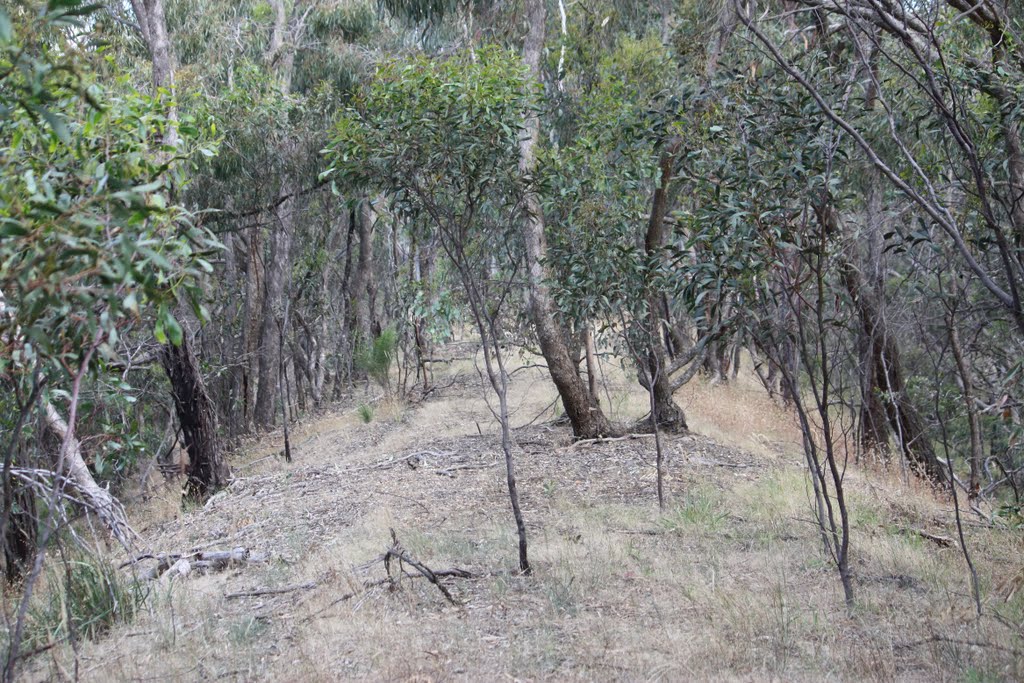
Photos of Glenaroua
Glenaroua Weather

Predicción: Scattered clouds
Temperatura: 12.2°
Humedad: 74%
Hora actual: 12:00 AM
Amanece: 08:50 PM
Anochece: 07:48 AM


