Distance between  Curra and
  Tardun
2,257.69 mi Straight Distance
2,810.22 mi Driving Distance
1 day 20 hours Estimated Driving Time
The straight distance between Curra (Queensland) and Tardun (Western Australia) is 2,257.69 mi, but the driving distance is 2,810.22 mi.
It takes to go from Curra to Tardun.
Driving directions from Curra to Tardun
Distance in kilometers
Straight distance: 3,632.63 km. Route distance: 4,521.64 km
Curra, Australia
Latitude: -26.0711 // Longitude: 152.584
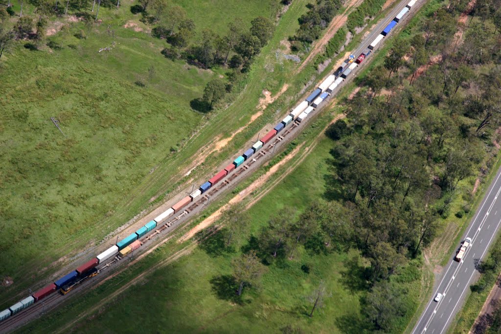
Photos of Curra
Curra Weather

Predicción: Clear sky
Temperatura: 23.5°
Humedad: 70%
Hora actual: 08:57 AM
Amanece: 06:07 AM
Anochece: 05:30 PM
Tardun, Australia
Latitude: -28.7934 // Longitude: 115.751
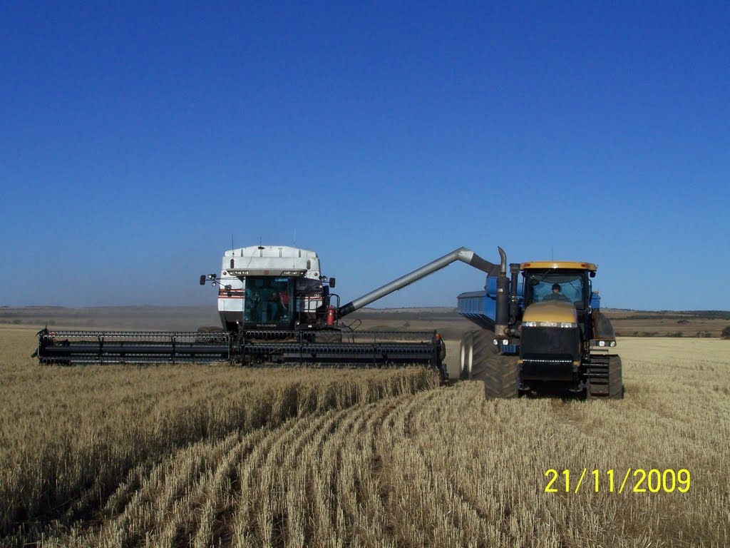
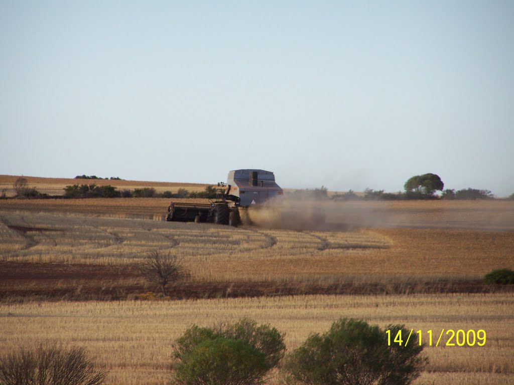
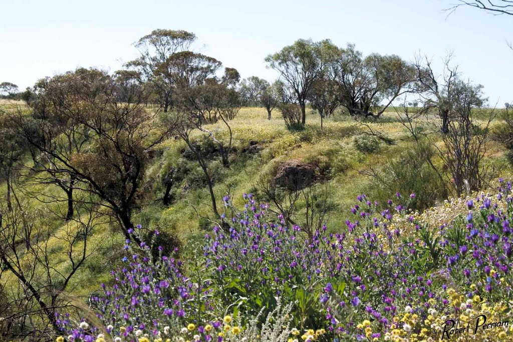
Photos of Tardun
Tardun Weather

Predicción: Clear sky
Temperatura: 16.7°
Humedad: 37%
Hora actual: 10:00 AM
Amanece: 08:37 AM
Anochece: 07:54 PM


