Distance between  Cryon and
  Coleambally
367.51 mi Straight Distance
494.97 mi Driving Distance
8 hours 9 mins Estimated Driving Time
The straight distance between Cryon (New South Wales) and Coleambally (New South Wales) is 367.51 mi, but the driving distance is 494.97 mi.
It takes 8 hours 48 mins to go from Cryon to Coleambally.
Driving directions from Cryon to Coleambally
Distance in kilometers
Straight distance: 591.32 km. Route distance: 796.41 km
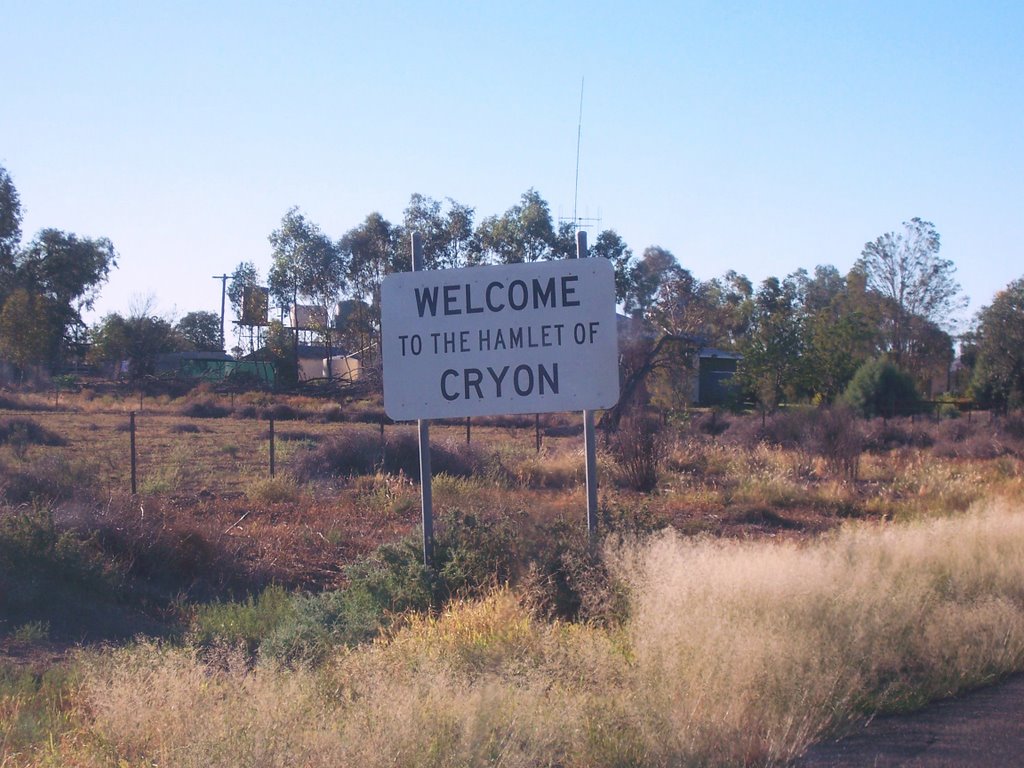
Cryon, Australia
Latitude: -30.0043 // Longitude: 148.613
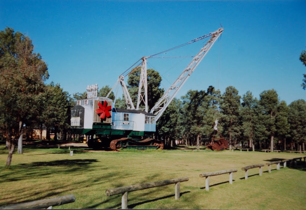
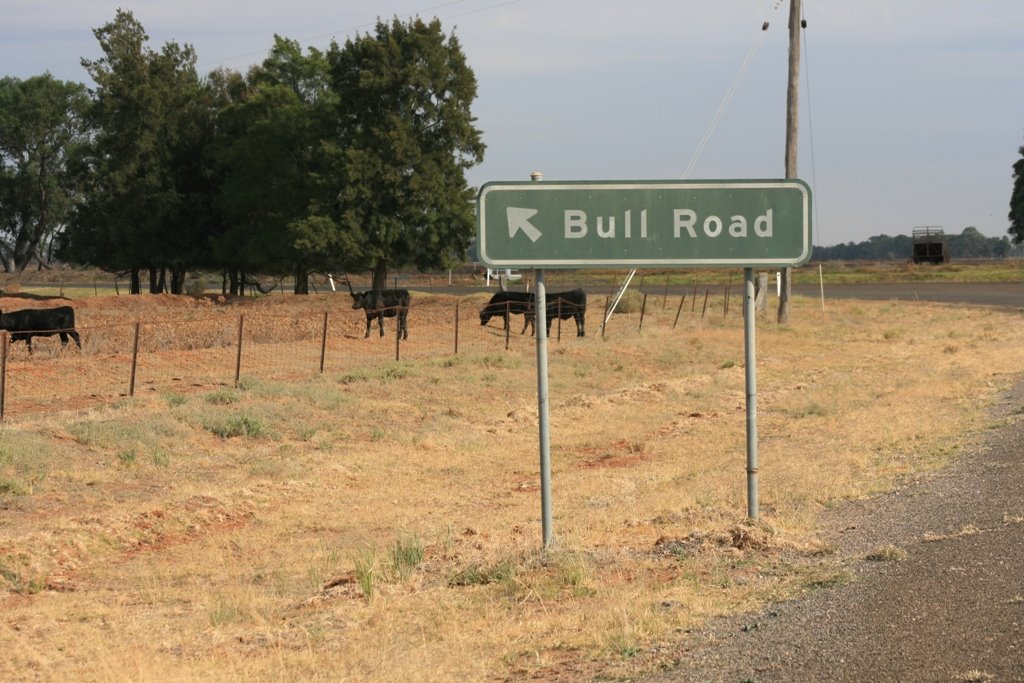
Photos of Cryon
Cryon Weather

Predicción: Clear sky
Temperatura: 16.8°
Humedad: 45%
Hora actual: 12:00 AM
Amanece: 08:26 PM
Anochece: 07:42 AM
Coleambally, Australia
Latitude: -34.797 // Longitude: 145.879
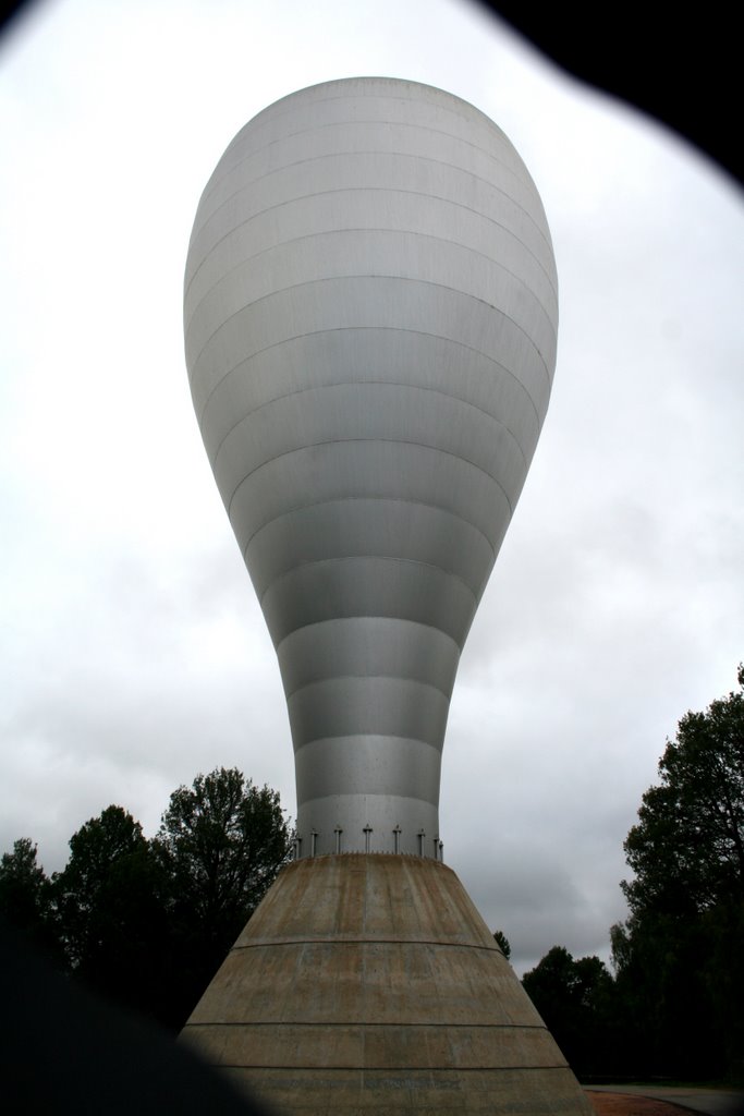
Photos of Coleambally
Coleambally Weather

Predicción: Scattered clouds
Temperatura: 12.7°
Humedad: 56%
Hora actual: 11:21 PM
Amanece: 06:42 AM
Anochece: 05:49 PM


