Distance between  Crows Nest and
  Myalup
2,197.50 mi Straight Distance
2,554.70 mi Driving Distance
1 day 16 hours Estimated Driving Time
The straight distance between Crows Nest (Queensland) and Myalup (Western Australia) is 2,197.50 mi, but the driving distance is 2,554.70 mi.
It takes to go from Crows Nest to Myalup.
Driving directions from Crows Nest to Myalup
Distance in kilometers
Straight distance: 3,535.78 km. Route distance: 4,110.51 km
Crows Nest, Australia
Latitude: -27.2621 // Longitude: 152.055
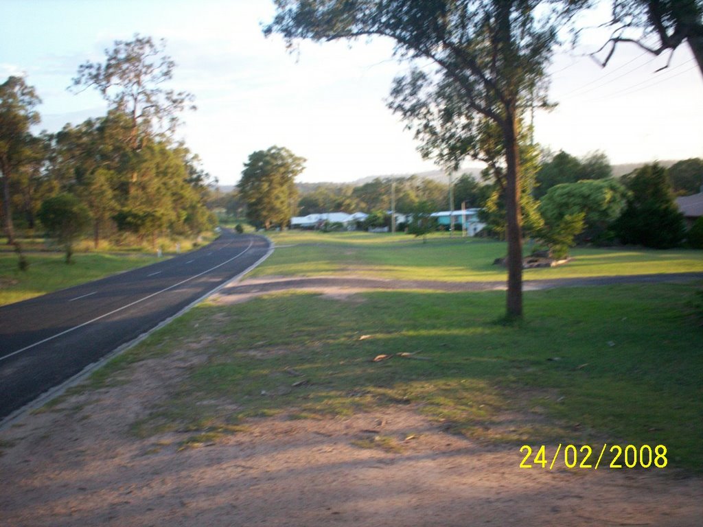
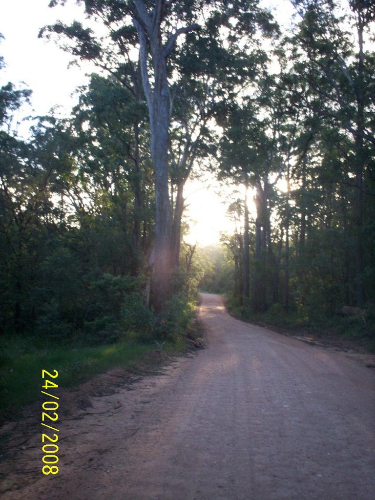
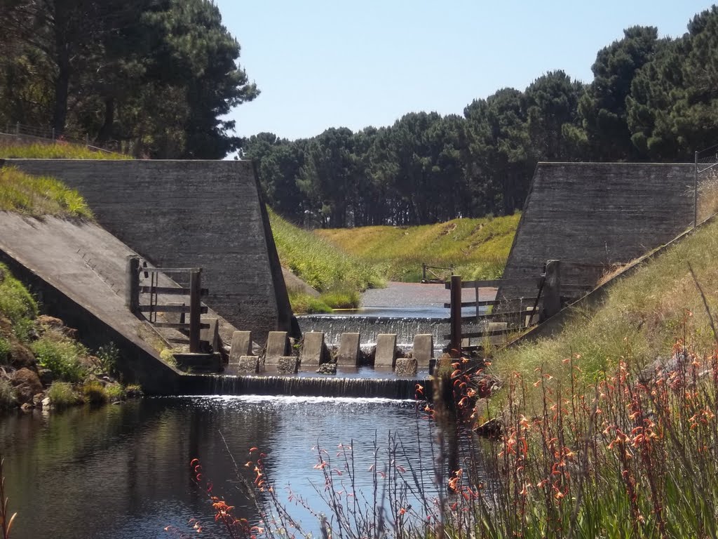
Photos of Crows Nest
Crows Nest Weather

Predicción: Clear sky
Temperatura: 23.0°
Humedad: 42%
Hora actual: 12:22 PM
Amanece: 06:10 AM
Anochece: 05:31 PM
Myalup, Australia
Latitude: -33.1045 // Longitude: 115.697
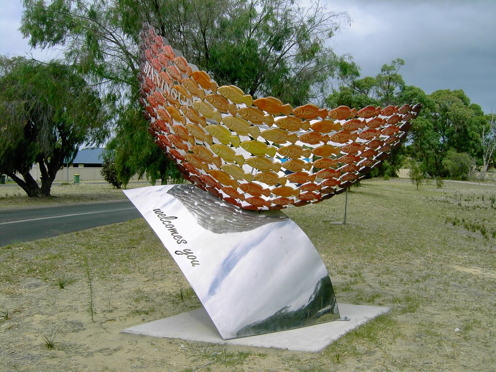
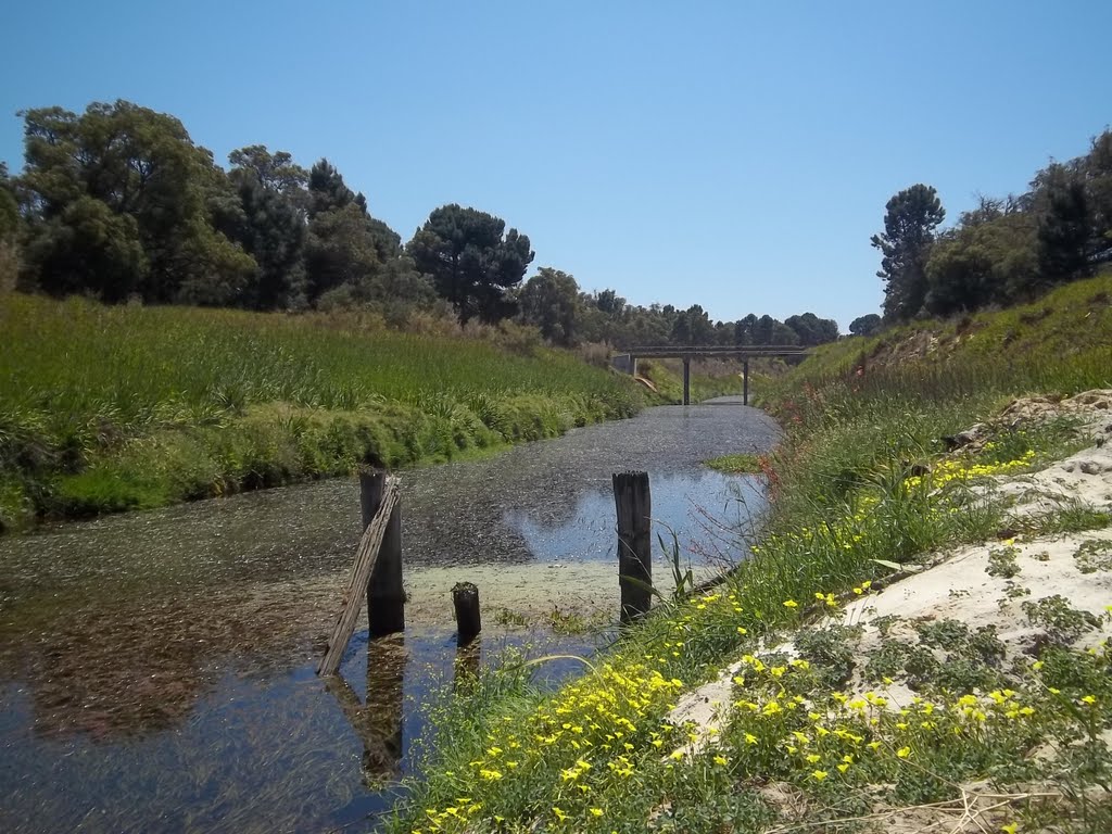
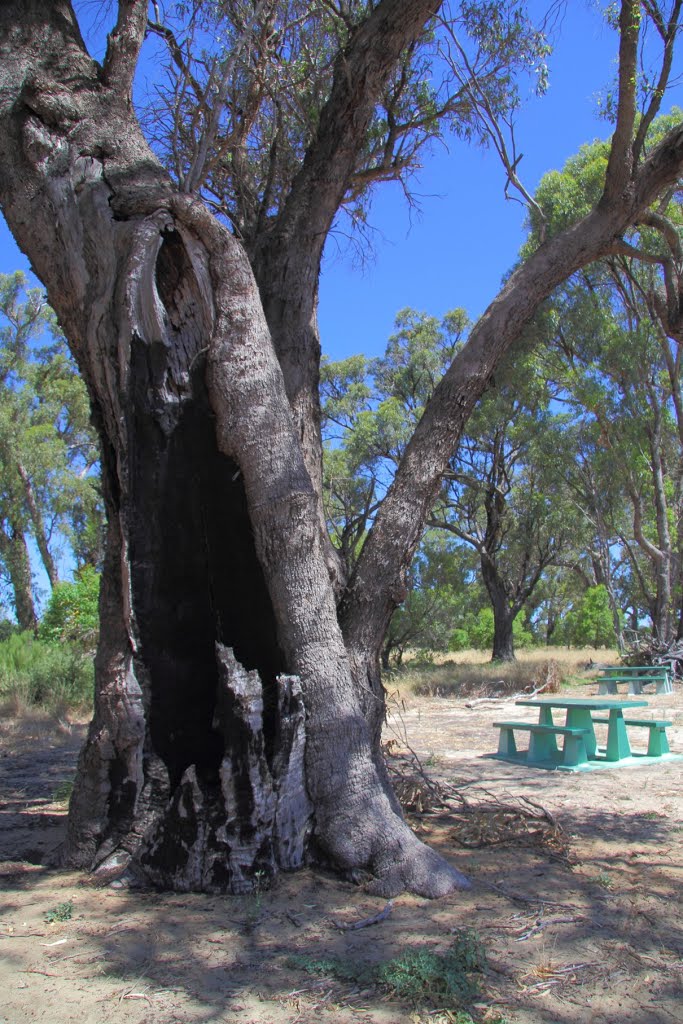
Photos of Myalup
Myalup Weather

Predicción: Clear sky
Temperatura: 25.5°
Humedad: 31%
Hora actual: 10:22 AM
Amanece: 06:42 AM
Anochece: 05:50 PM


