Distance between  Crowlands and
  Murnungin
106.45 mi Straight Distance
128.18 mi Driving Distance
2 hours 6 mins Estimated Driving Time
The straight distance between Crowlands (Victoria) and Murnungin (Victoria) is 106.45 mi, but the driving distance is 128.18 mi.
It takes 3 hours 3 mins to go from Crowlands to Murnungin.
Driving directions from Crowlands to Murnungin
Distance in kilometers
Straight distance: 171.28 km. Route distance: 206.25 km
Crowlands, Australia
Latitude: -37.1499 // Longitude: 143.109
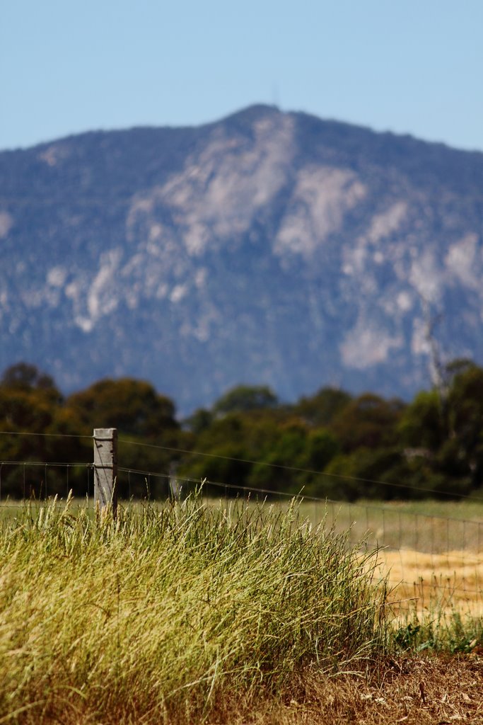
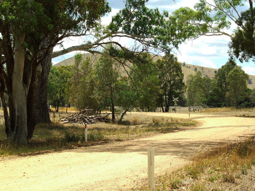
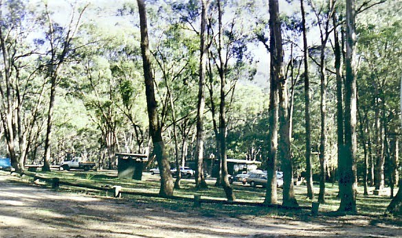
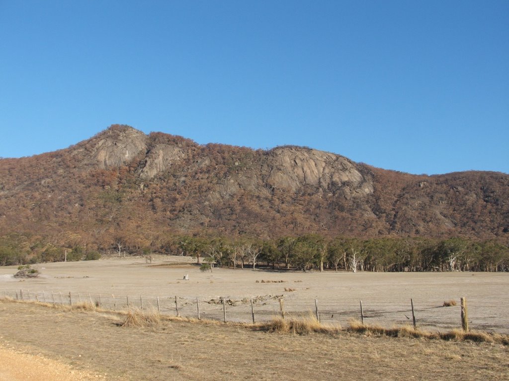
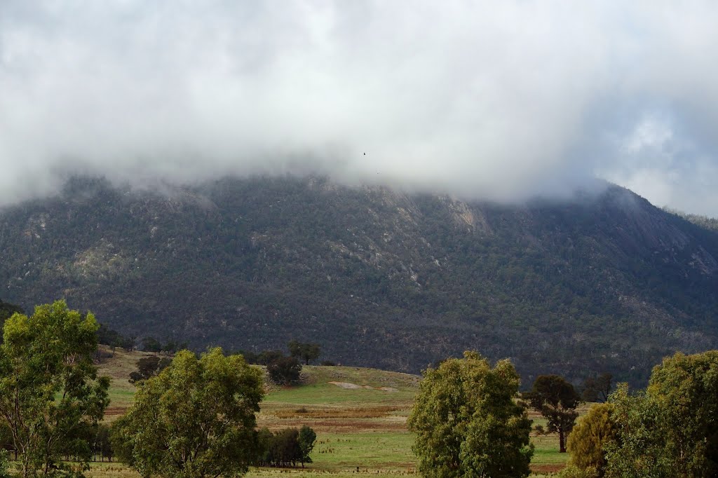
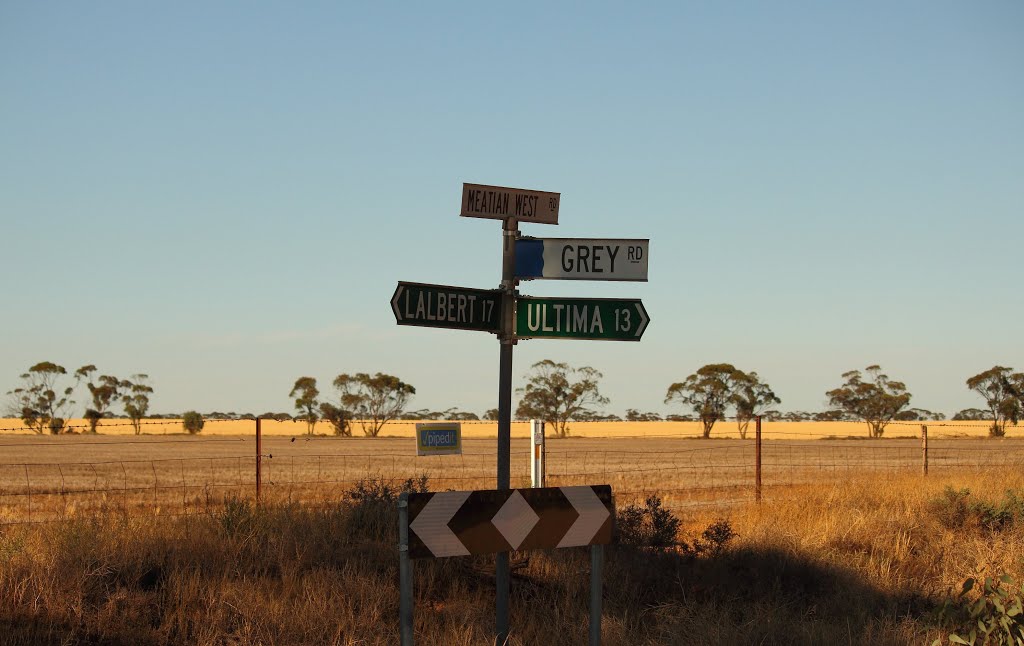
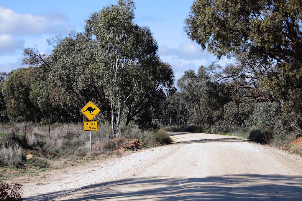
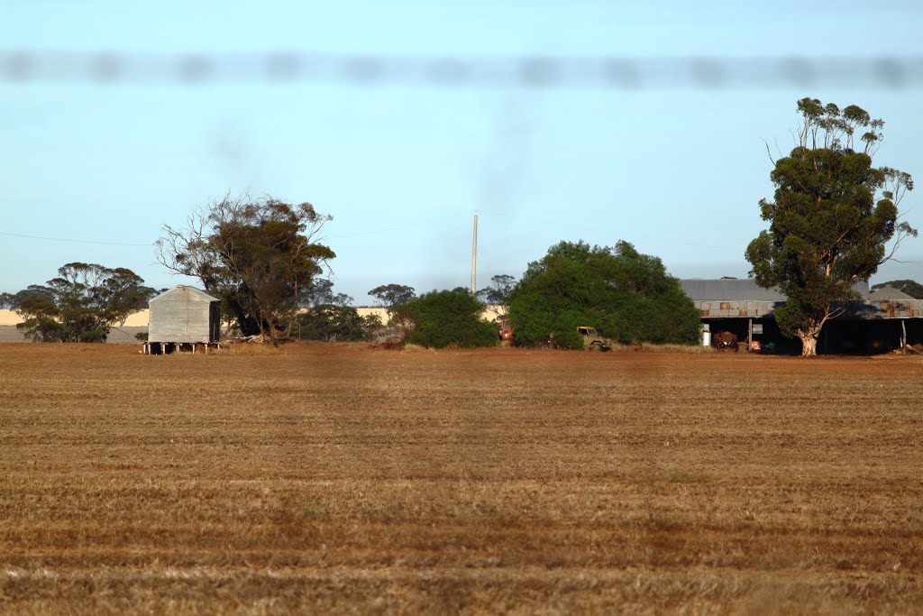
Photos of Crowlands
Crowlands Weather

Predicción: Overcast clouds
Temperatura: 10.1°
Humedad: 95%
Hora actual: 12:00 AM
Amanece: 08:54 PM
Anochece: 07:59 AM
Murnungin, Australia
Latitude: -35.6135 // Longitude: 143.252
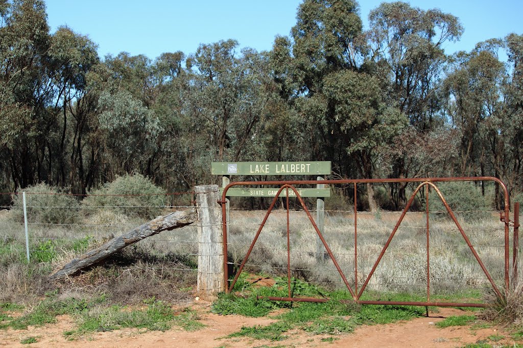
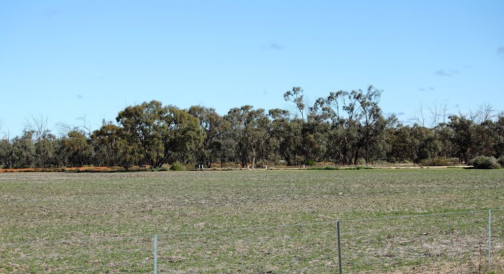
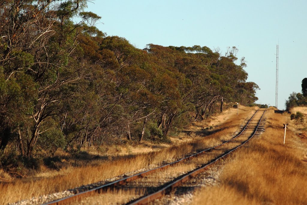
Photos of Murnungin
Murnungin Weather

Predicción: Broken clouds
Temperatura: 14.1°
Humedad: 61%
Hora actual: 12:00 AM
Amanece: 08:52 PM
Anochece: 08:00 AM


