Distance between  Creek Junction and
  Glenaladale
105.75 mi Straight Distance
210.22 mi Driving Distance
3 hours 51 mins Estimated Driving Time
The straight distance between Creek Junction (Victoria) and Glenaladale (Victoria) is 105.75 mi, but the driving distance is 210.22 mi.
It takes to go from Creek Junction to Glenaladale.
Driving directions from Creek Junction to Glenaladale
Distance in kilometers
Straight distance: 170.15 km. Route distance: 338.25 km
Creek Junction, Australia
Latitude: -36.8113 // Longitude: 145.82
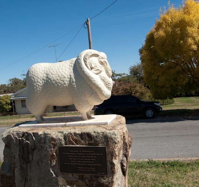
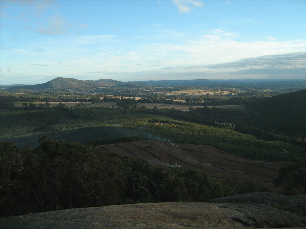
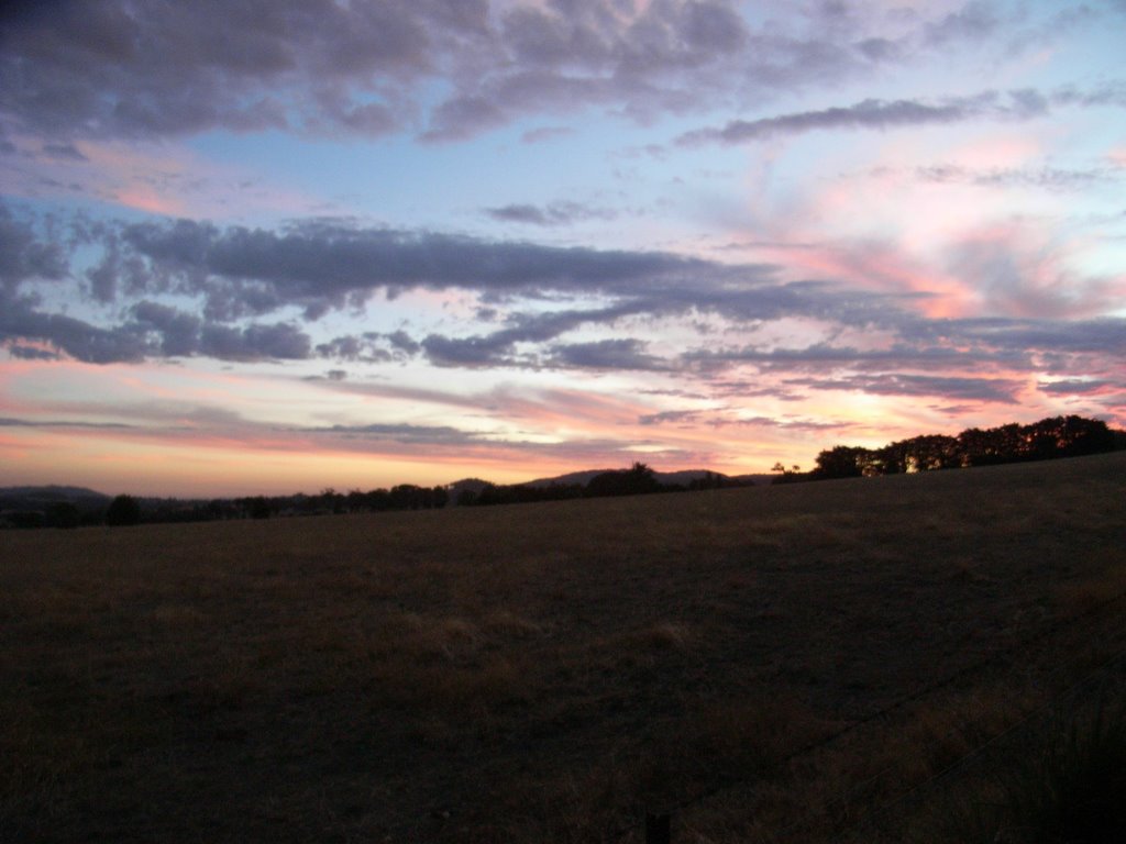
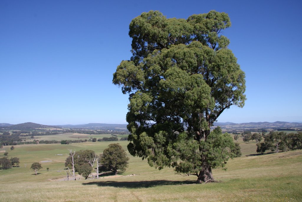
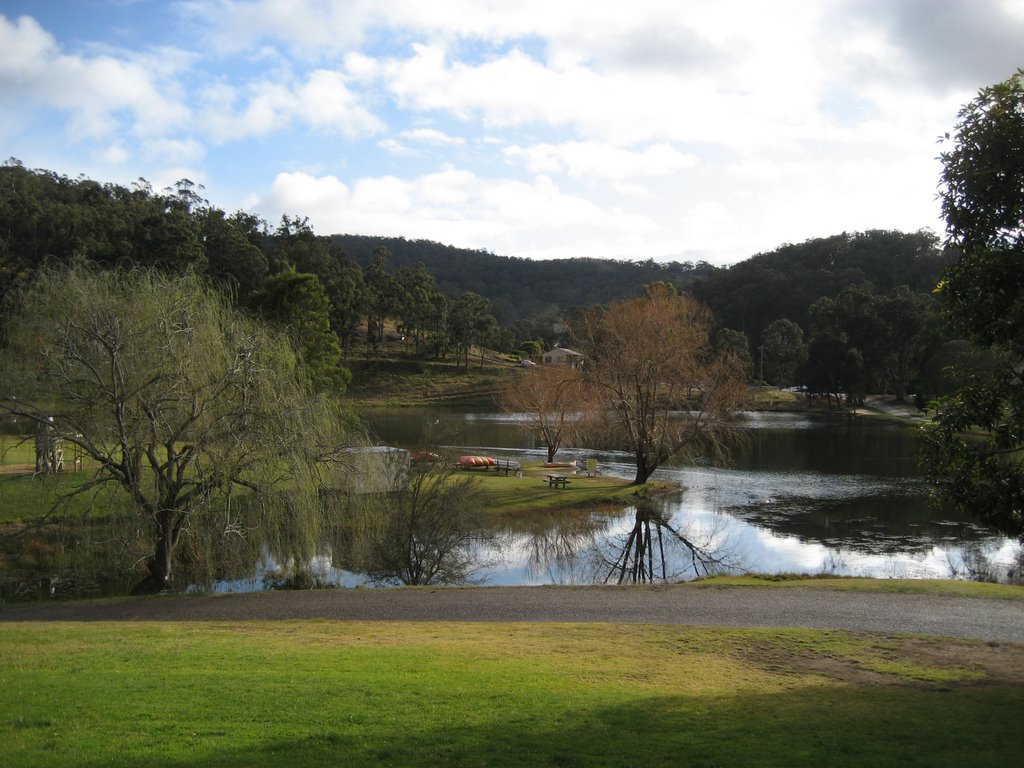
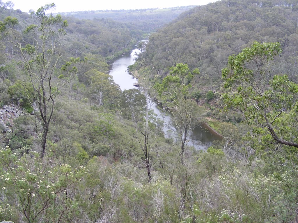
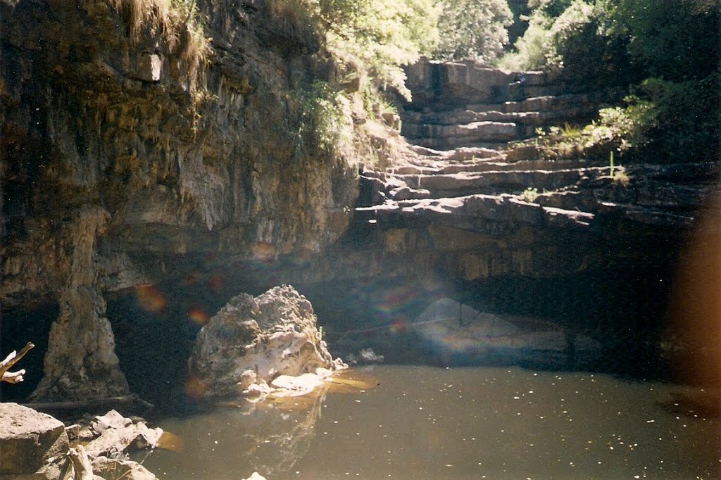
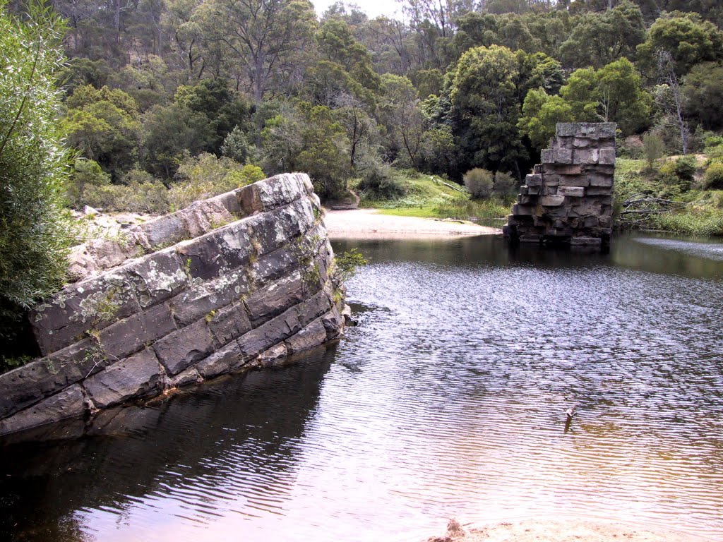
Photos of Creek Junction
Creek Junction Weather

Predicción: Overcast clouds
Temperatura: 9.3°
Humedad: 80%
Hora actual: 12:00 AM
Amanece: 08:45 PM
Anochece: 07:46 AM
Glenaladale, Australia
Latitude: -37.7677 // Longitude: 147.322
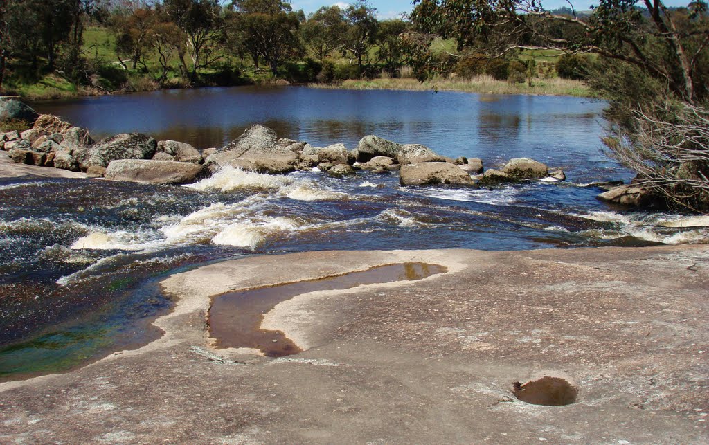
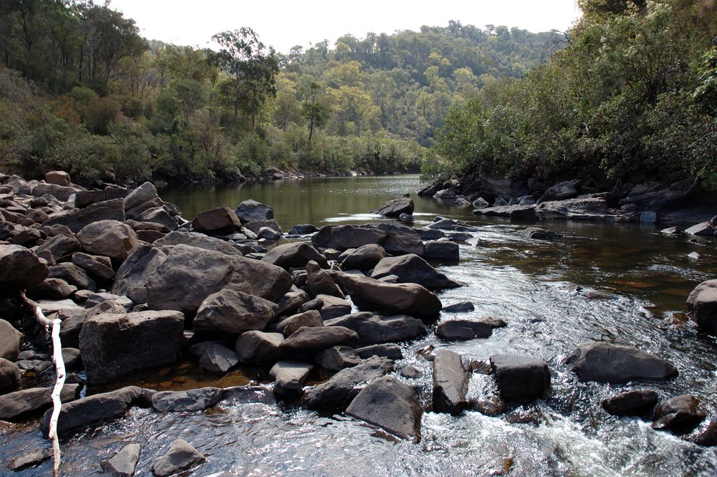
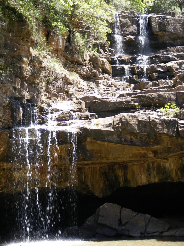
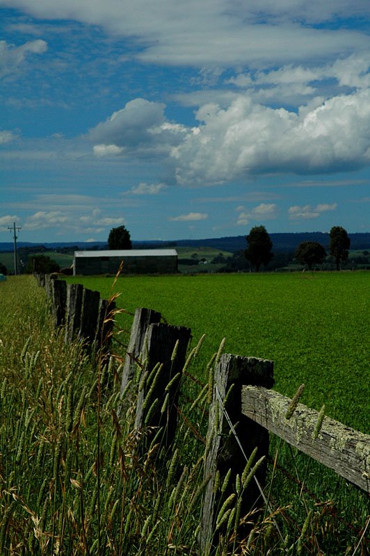
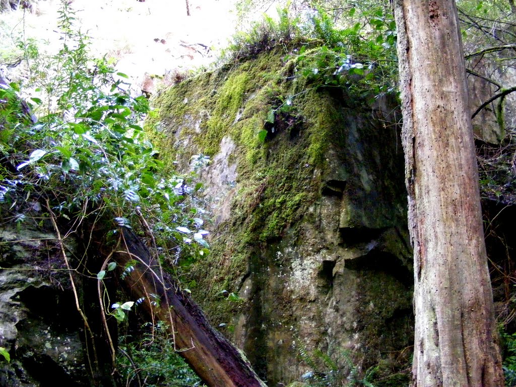
Photos of Glenaladale
Glenaladale Weather

Predicción: Overcast clouds
Temperatura: 10.3°
Humedad: 70%
Hora actual: 12:00 AM
Amanece: 08:40 PM
Anochece: 07:39 AM


