Distance between  Cowa and
  Boola
Boola
57.87 mi Straight Distance
118.57 mi Driving Distance
2 hours 20 mins Estimated Driving Time
The straight distance between Cowa (Victoria) and Boola (Victoria) is 57.87 mi, but the driving distance is 118.57 mi.
It takes 2 hours 45 mins to go from Cowa to Boola.
Driving directions from Cowa to Boola
Distance in kilometers
Straight distance: 93.12 km. Route distance: 190.79 km
Cowa, Australia
Latitude: -37.4009 // Longitude: 147.177
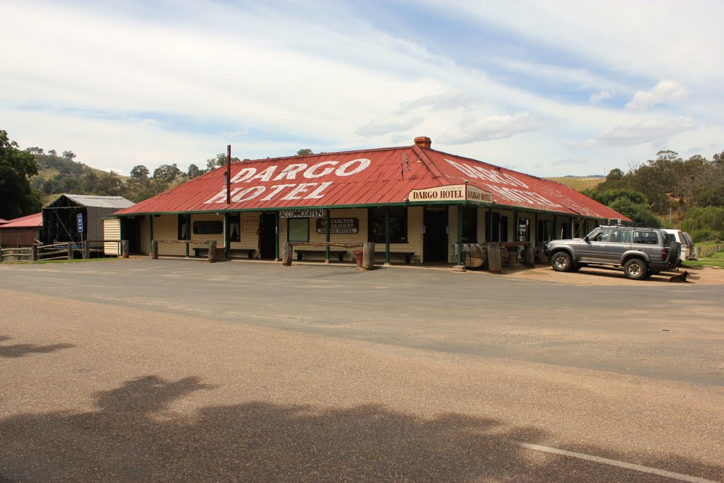
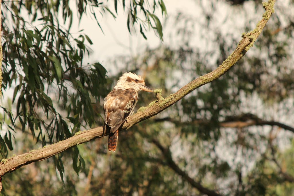
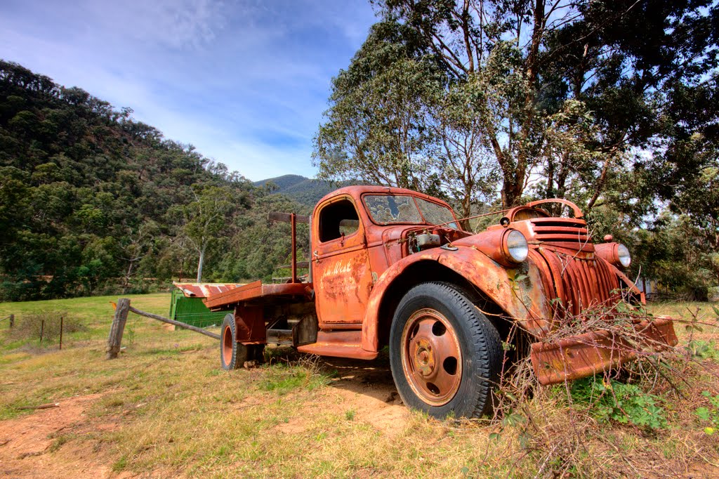
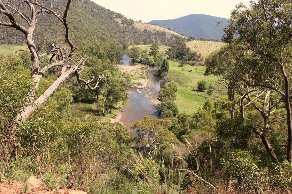
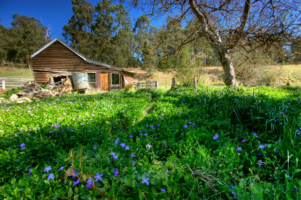
Photos of Cowa
Cowa Weather

Predicción: Overcast clouds
Temperatura: 8.6°
Humedad: 86%
Hora actual: 12:00 AM
Amanece: 08:38 PM
Anochece: 07:42 AM
Boola, Australia
Latitude: -38.023 // Longitude: 146.468
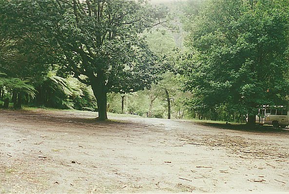
Photos of Boola
Boola Weather

Predicción: Broken clouds
Temperatura: 11.5°
Humedad: 98%
Hora actual: 12:00 AM
Amanece: 08:42 PM
Anochece: 07:45 AM


