Distance between  Coutts Crossing and
  Brocklesby
548.71 mi Straight Distance
720.29 mi Driving Distance
11 hours 27 mins Estimated Driving Time
The straight distance between Coutts Crossing (New South Wales) and Brocklesby (New South Wales) is 548.71 mi, but the driving distance is 720.29 mi.
It takes to go from Coutts Crossing to Brocklesby.
Driving directions from Coutts Crossing to Brocklesby
Distance in kilometers
Straight distance: 882.87 km. Route distance: 1,158.94 km
Coutts Crossing, Australia
Latitude: -29.8297 // Longitude: 152.891
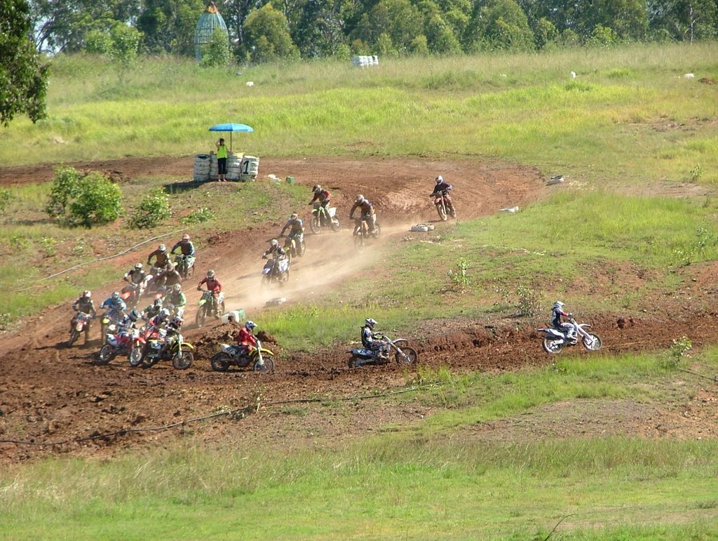
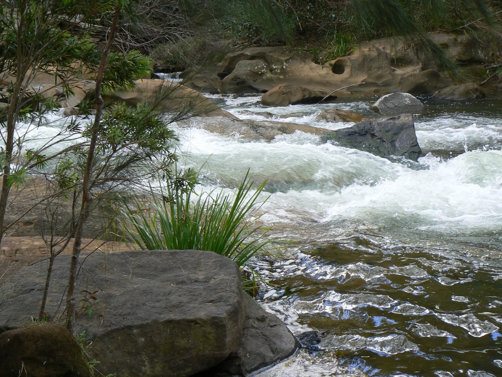
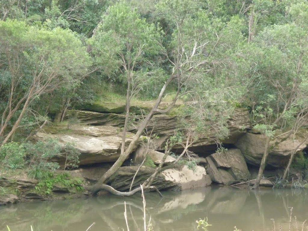
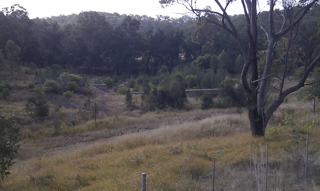
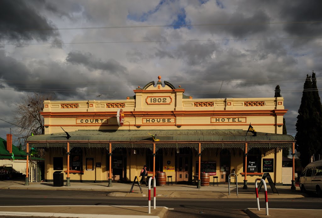
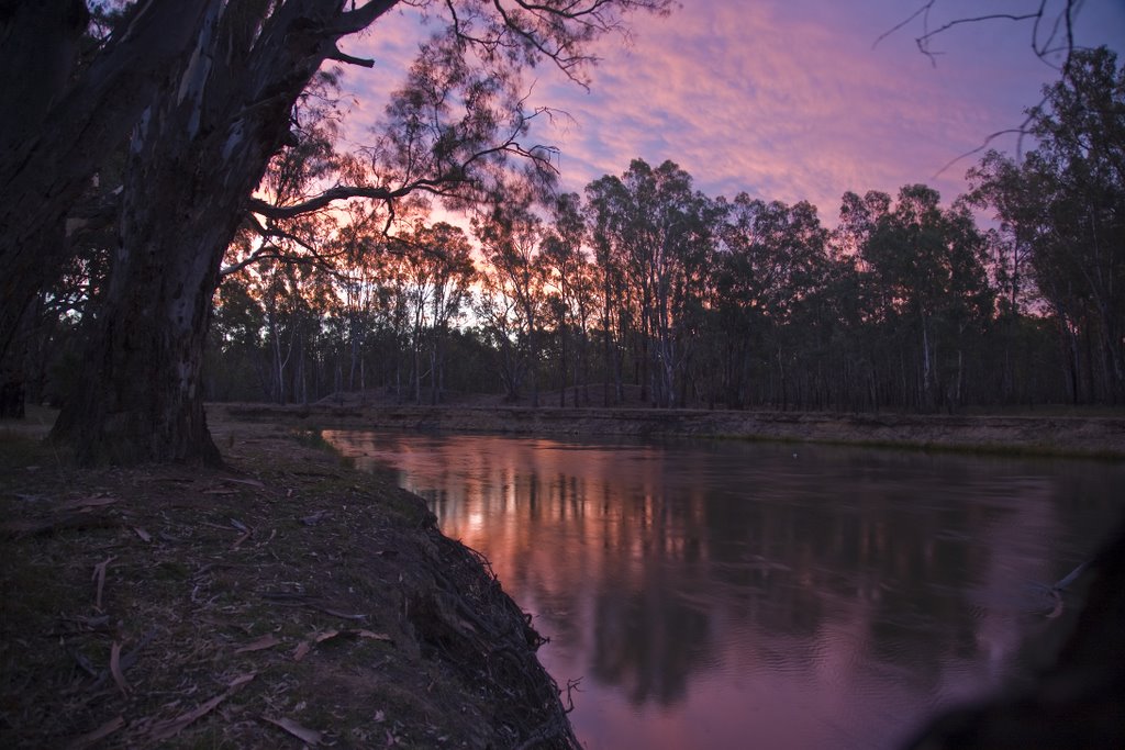
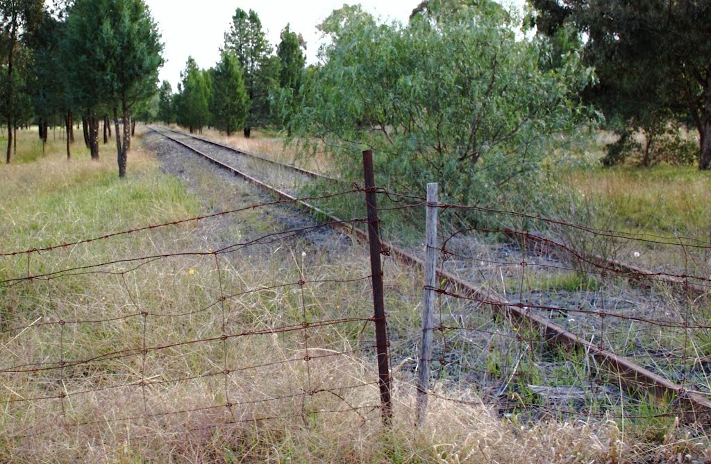
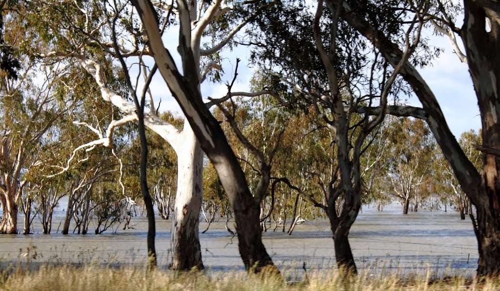
Photos of Coutts Crossing
Coutts Crossing Weather

Predicción: Clear sky
Temperatura: 12.3°
Humedad: 91%
Hora actual: 05:48 AM
Amanece: 06:09 AM
Anochece: 05:25 PM
Brocklesby, Australia
Latitude: -35.8214 // Longitude: 146.681
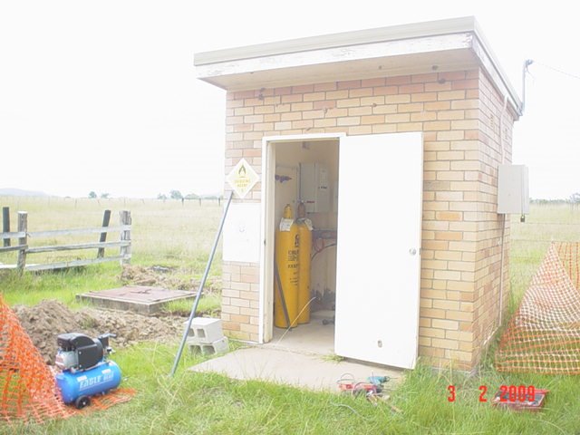
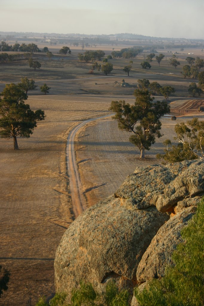
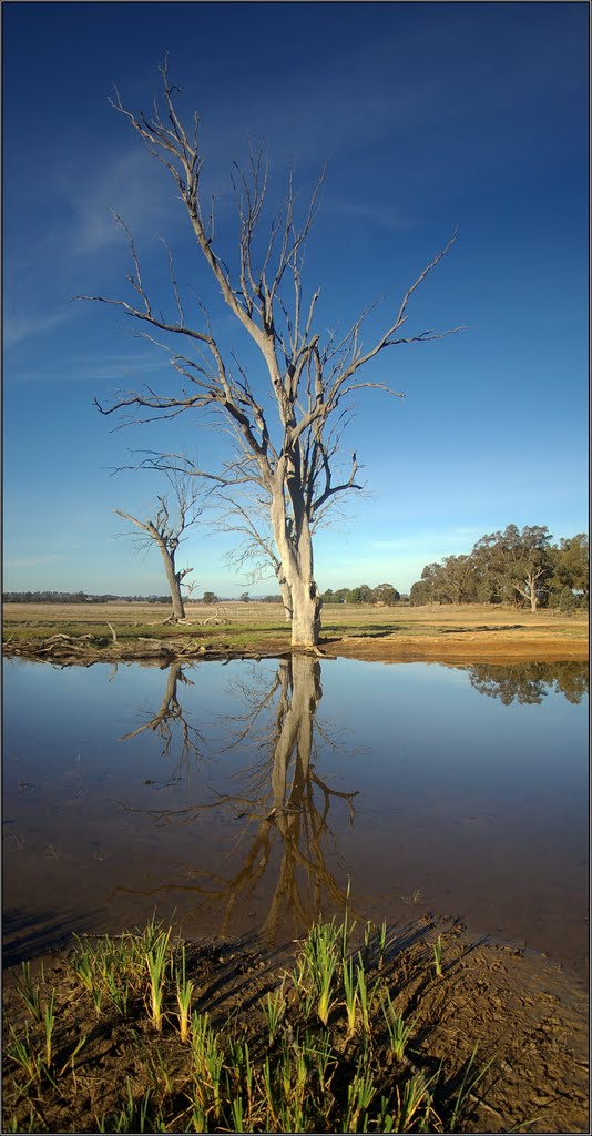
Photos of Brocklesby
Brocklesby Weather

Predicción: Overcast clouds
Temperatura: 11.0°
Humedad: 74%
Hora actual: 10:00 AM
Amanece: 06:41 AM
Anochece: 05:43 PM


