Distance between  Coulta and
  Batchelor
1,500.52 mi Straight Distance
1,858.03 mi Driving Distance
1 day 2 hours Estimated Driving Time
The straight distance between Coulta (South Australia) and Batchelor (Northern Territory) is 1,500.52 mi, but the driving distance is 1,858.03 mi.
It takes 1 day 8 hours to go from Coulta to Batchelor.
Driving directions from Coulta to Batchelor
Distance in kilometers
Straight distance: 2,414.33 km. Route distance: 2,989.57 km
Coulta, Australia
Latitude: -34.3874 // Longitude: 135.466
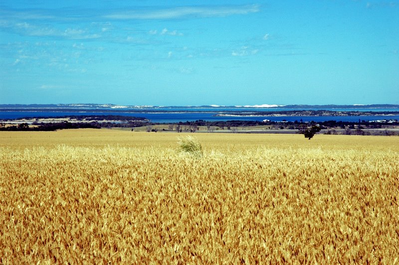
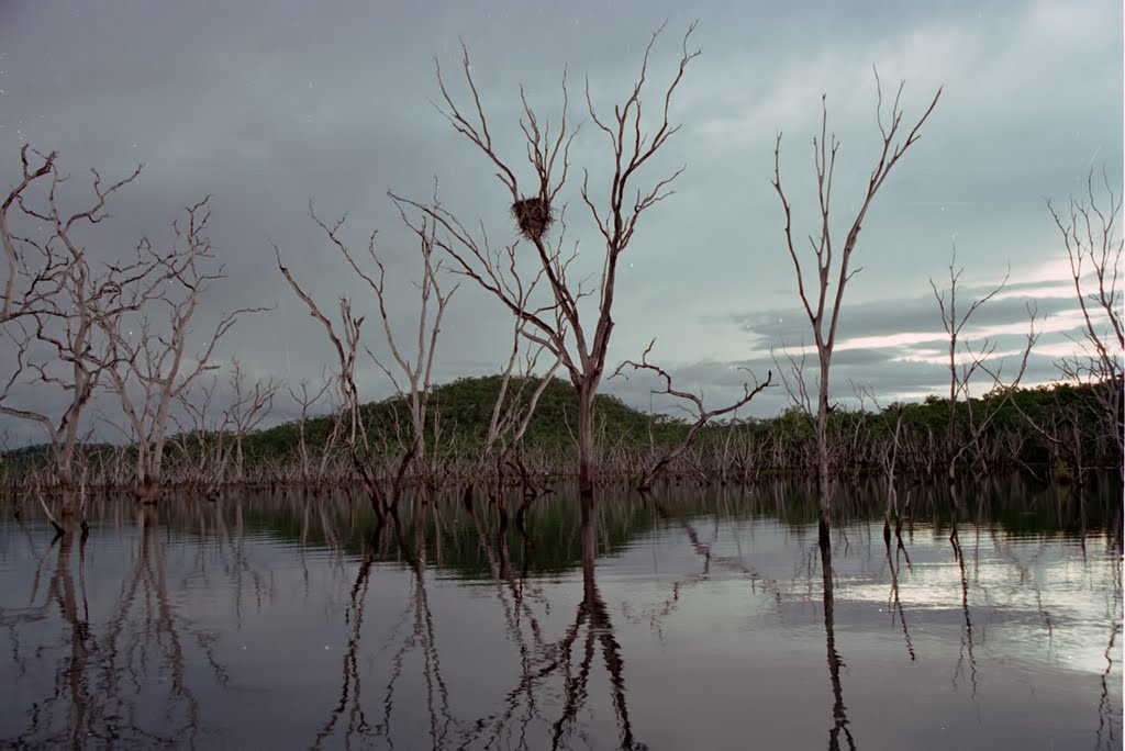
Photos of Coulta
Coulta Weather

Predicción: Few clouds
Temperatura: 15.3°
Humedad: 82%
Hora actual: 12:00 AM
Amanece: 09:22 PM
Anochece: 08:33 AM
Batchelor, Australia
Latitude: -13.0465 // Longitude: 131.028
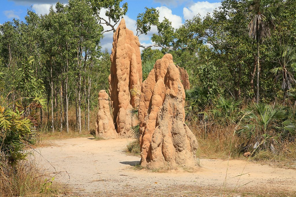
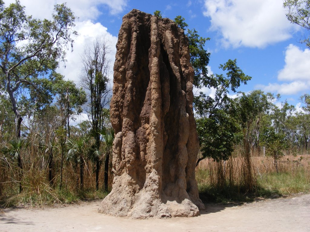
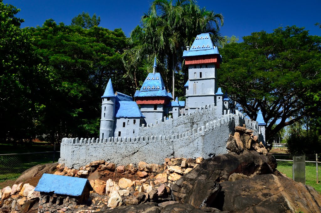
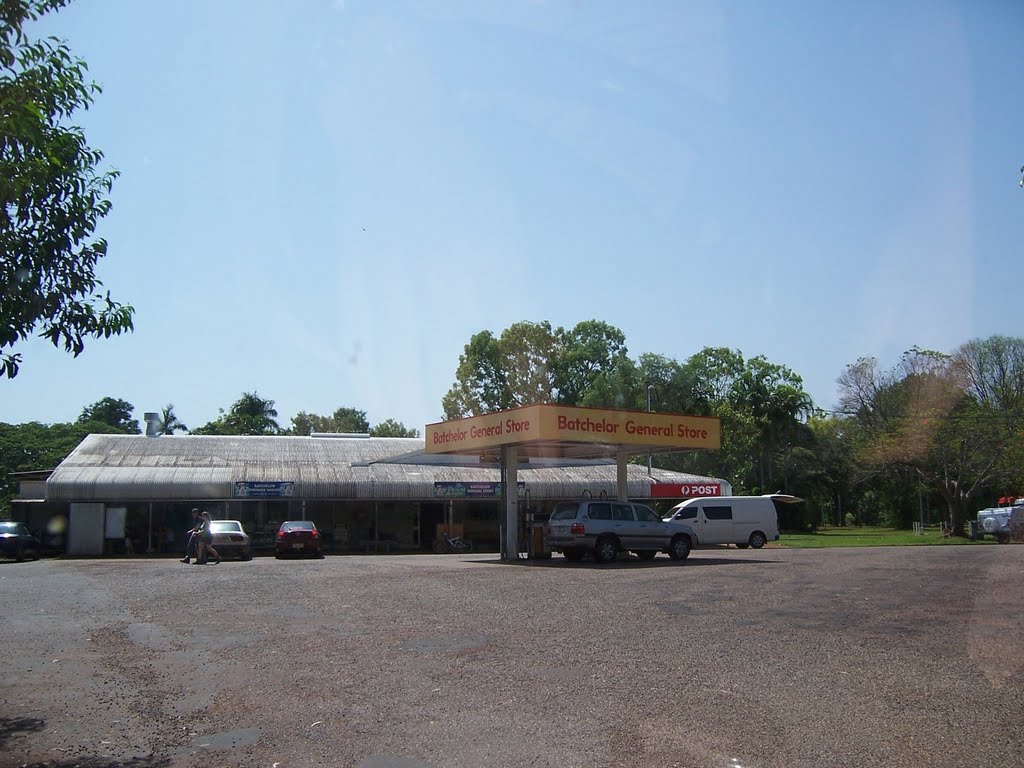
Photos of Batchelor
Batchelor Weather

Predicción: Overcast clouds
Temperatura: 28.7°
Humedad: 60%
Hora actual: 07:03 PM
Amanece: 06:51 AM
Anochece: 06:39 PM


