Distance between  Coreen and
  Thursday Island
1,758.16 mi Straight Distance
2,239.71 mi Driving Distance
1 day 22 hours Estimated Driving Time
The straight distance between Coreen (New South Wales) and Thursday Island (Queensland) is 1,758.16 mi, but the driving distance is 2,239.71 mi.
It takes to go from Coreen to Thursday Island.
Driving directions from Coreen to Thursday Island
Distance in kilometers
Straight distance: 2,828.88 km. Route distance: 3,603.70 km
Coreen, Australia
Latitude: -35.7488 // Longitude: 146.345
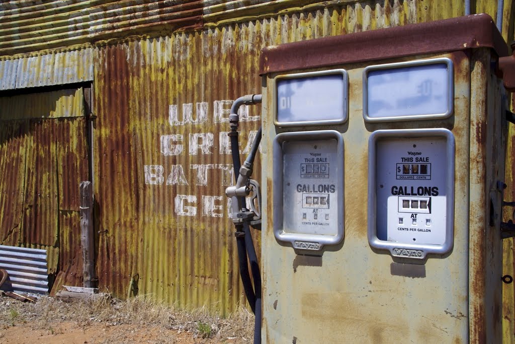
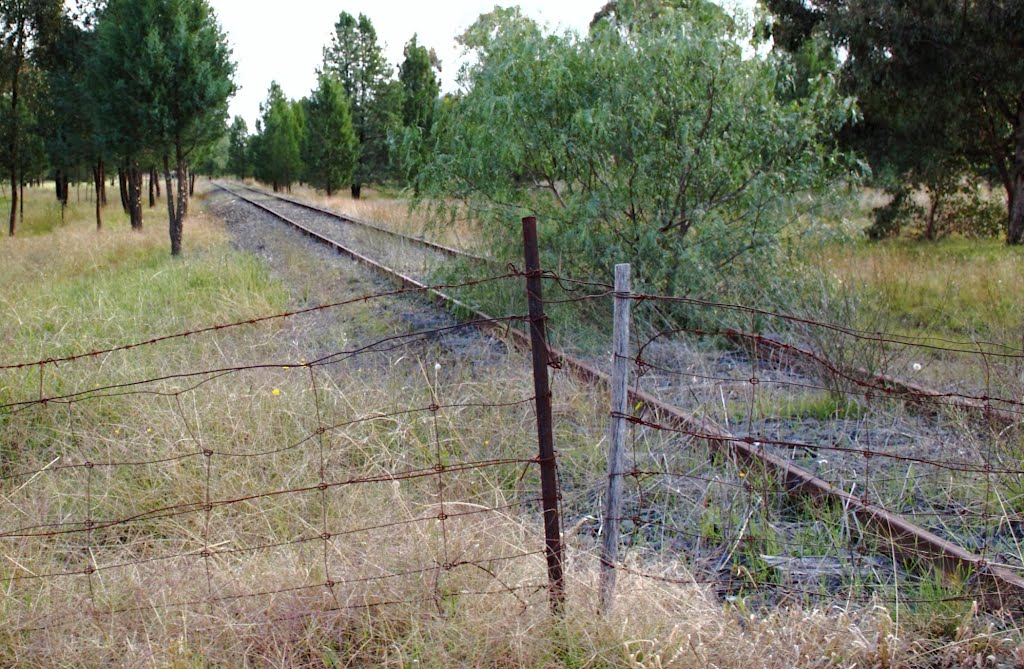
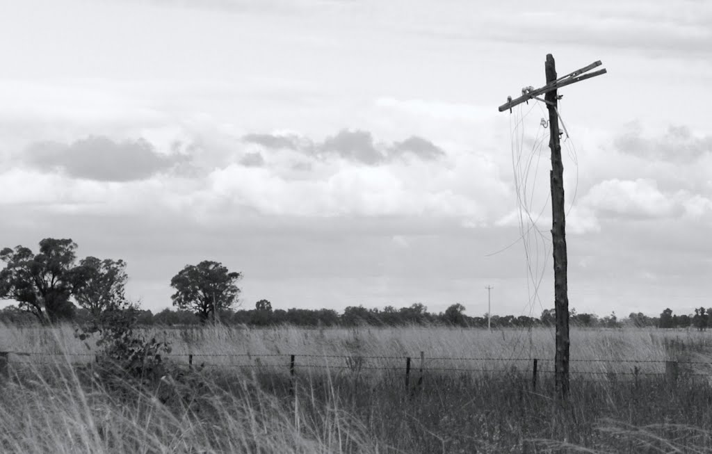
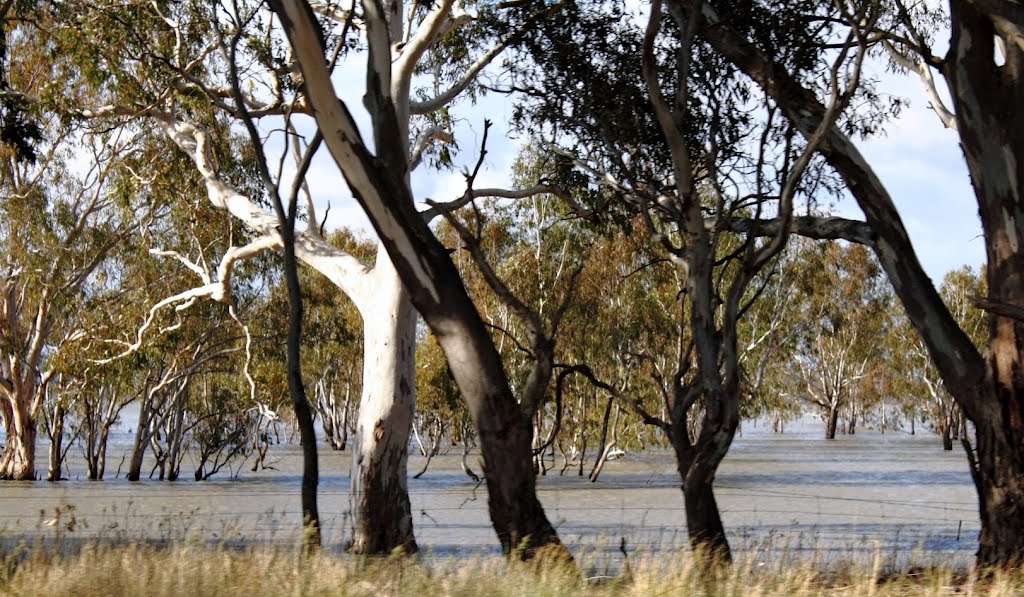
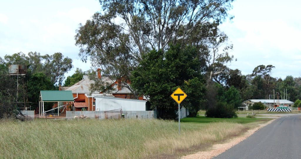
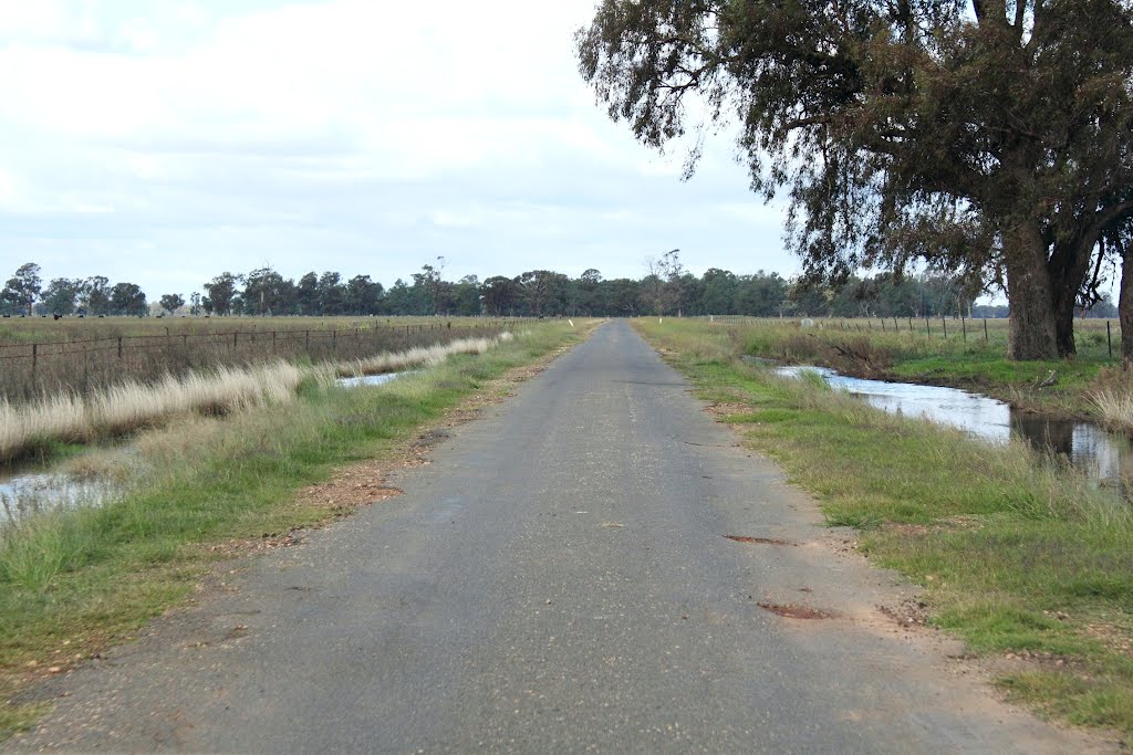
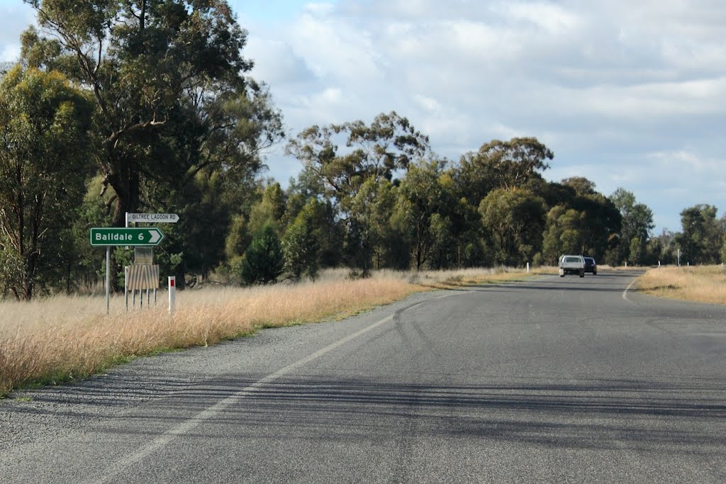
Photos of Coreen
Coreen Weather

Predicción: Few clouds
Temperatura: 11.9°
Humedad: 51%
Hora actual: 12:00 AM
Amanece: 08:40 PM
Anochece: 07:48 AM
Thursday Island, Australia
Latitude: -10.5799 // Longitude: 142.218
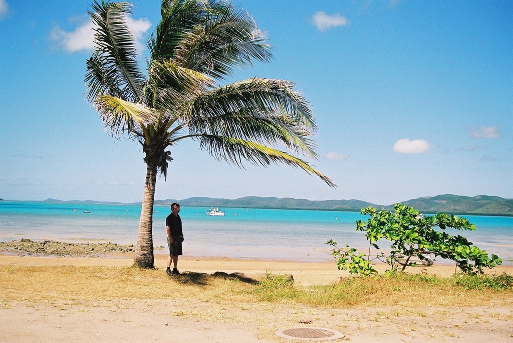
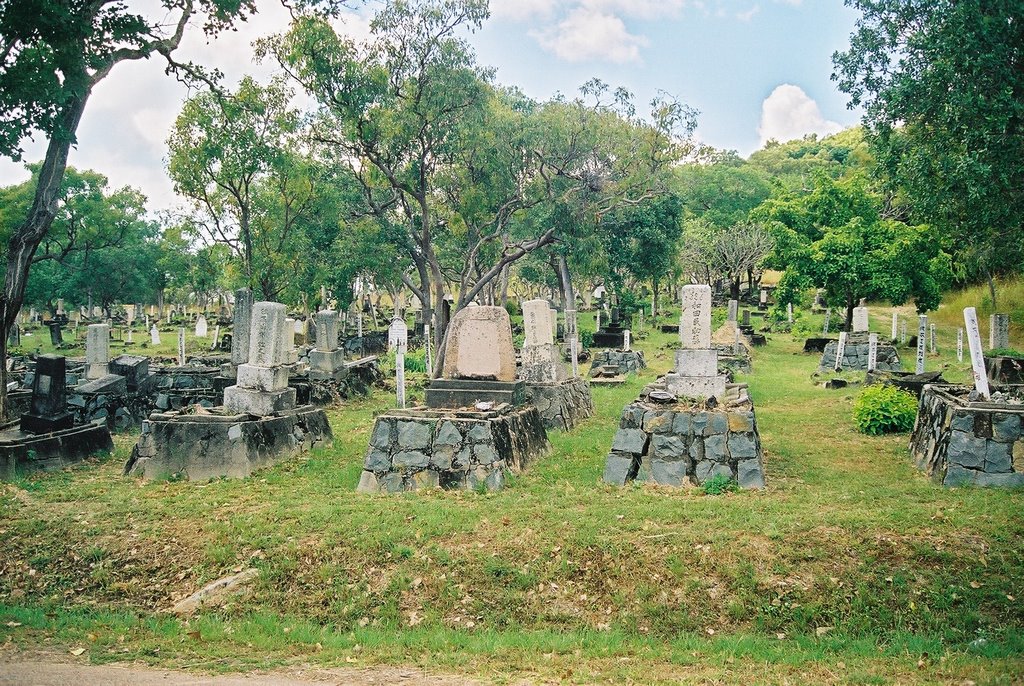
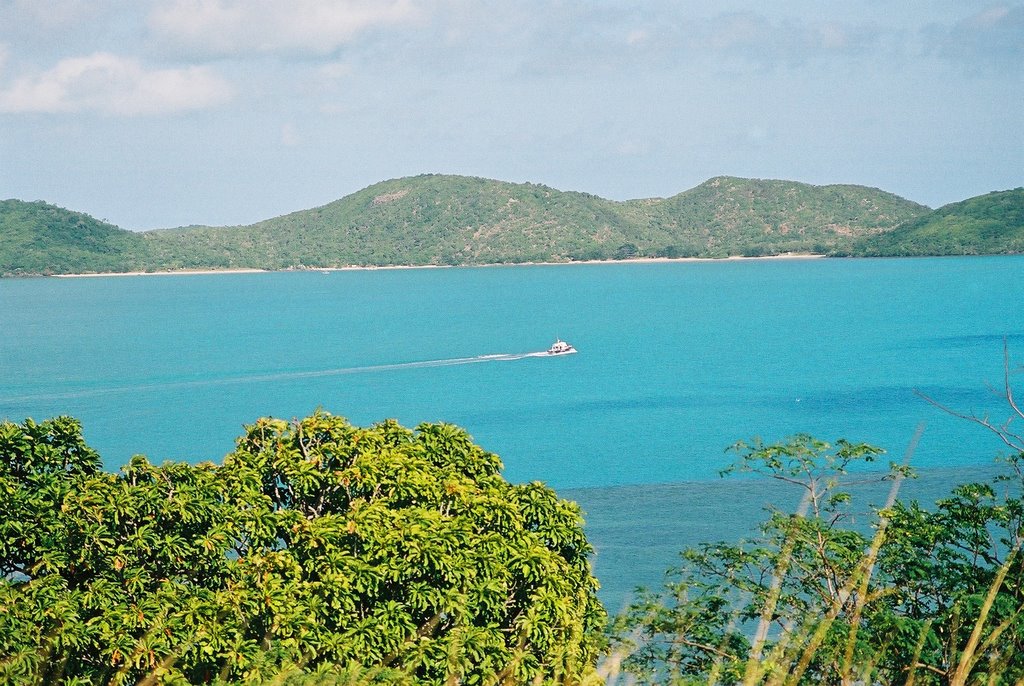
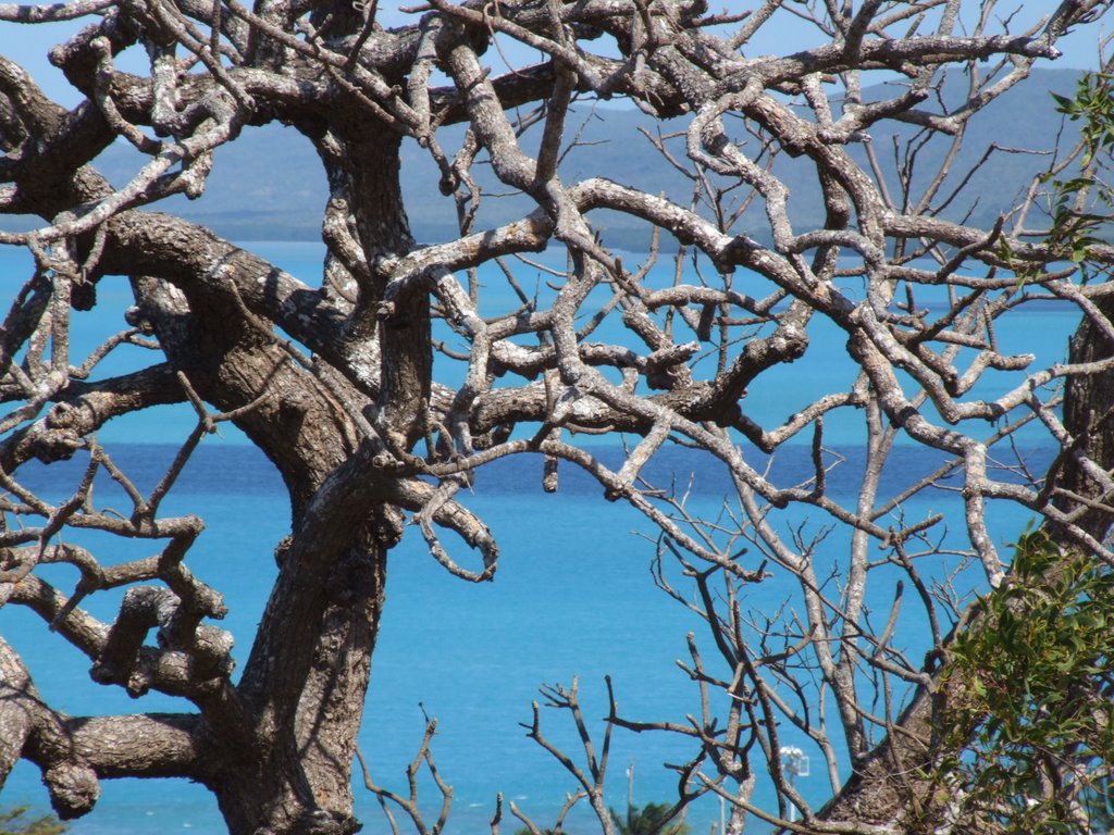
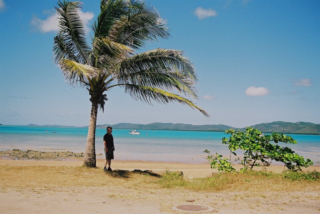
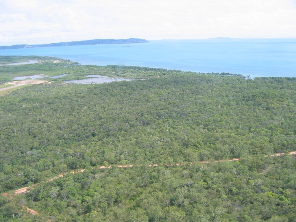
Photos of Thursday Island
Thursday Island Weather

Predicción: Scattered clouds
Temperatura: 27.8°
Humedad: 94%
Hora actual: 10:01 PM
Amanece: 06:35 AM
Anochece: 06:26 PM



![Red Island [Garling] Red Island [Garling]](/photos/1756400.jpg)
