Distance between  Corack East and
  Framlingham
144.54 mi Straight Distance
161.53 mi Driving Distance
3 hours 22 mins Estimated Driving Time
The straight distance between Corack East (Victoria) and Framlingham (Victoria) is 144.54 mi, but the driving distance is 161.53 mi.
It takes to go from Corack East to Framlingham.
Driving directions from Corack East to Framlingham
Distance in kilometers
Straight distance: 232.57 km. Route distance: 259.90 km
Corack East, Australia
Latitude: -36.1667 // Longitude: 143.042
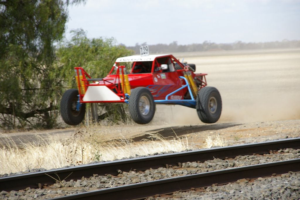
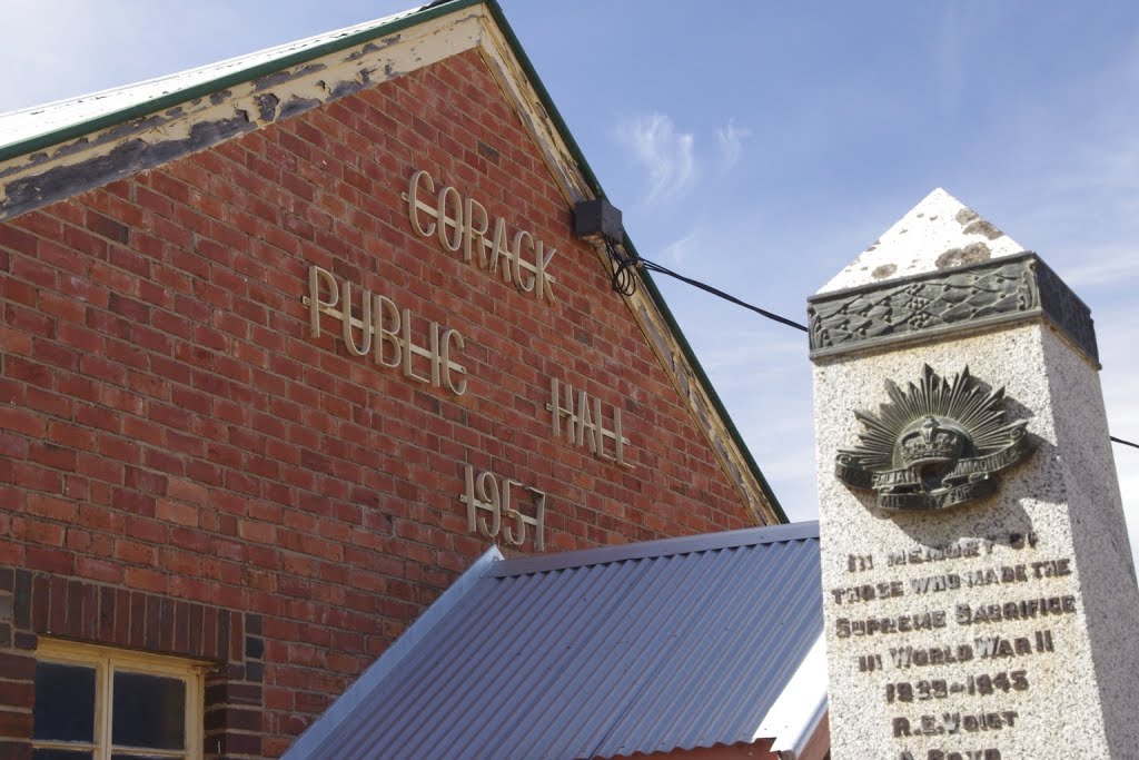
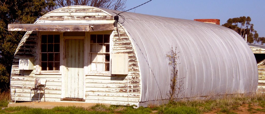
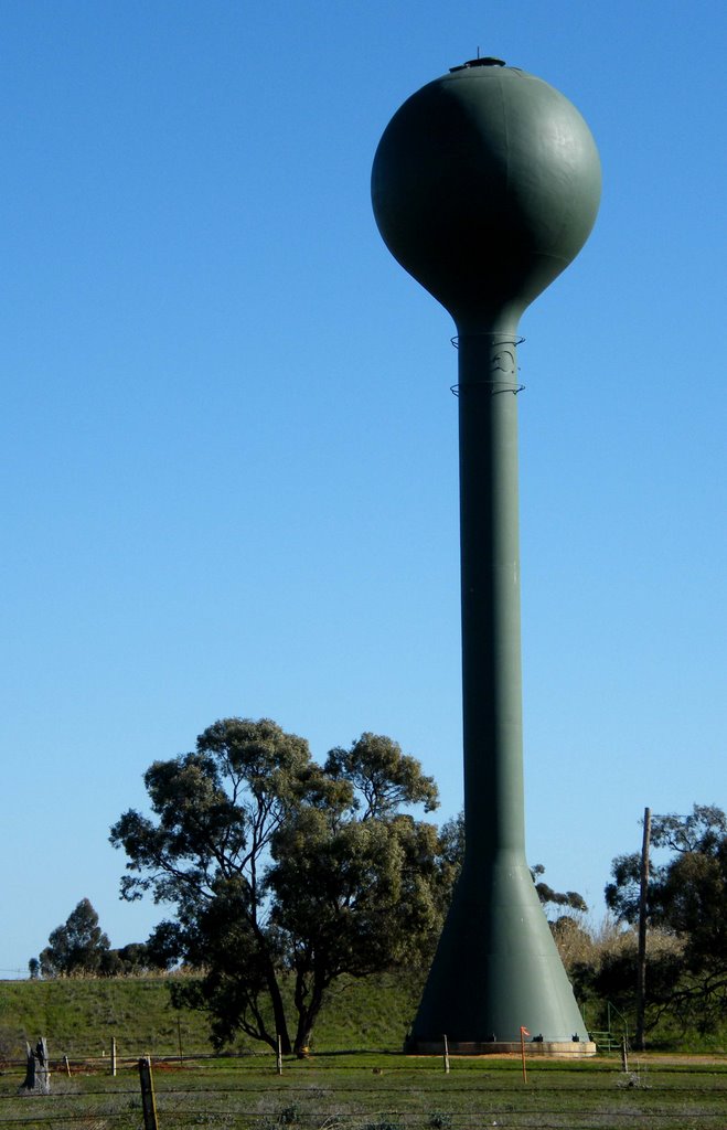
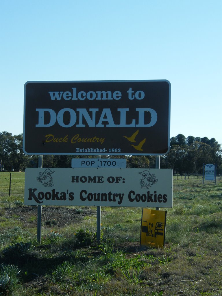
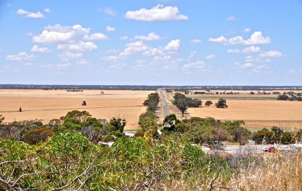
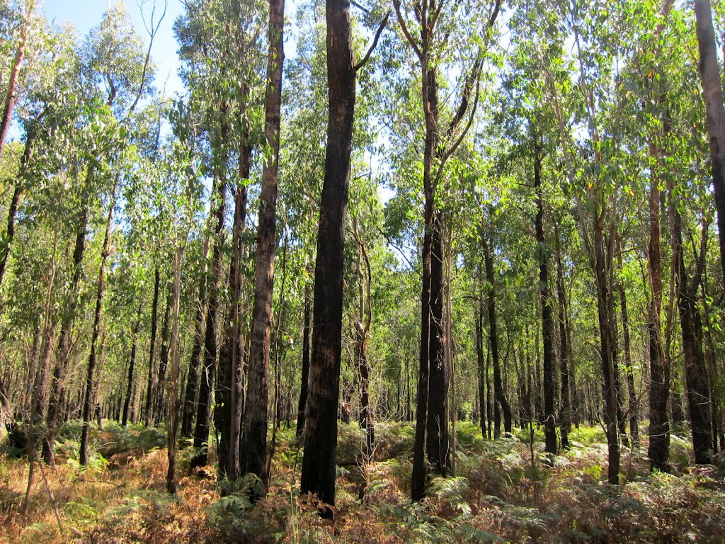
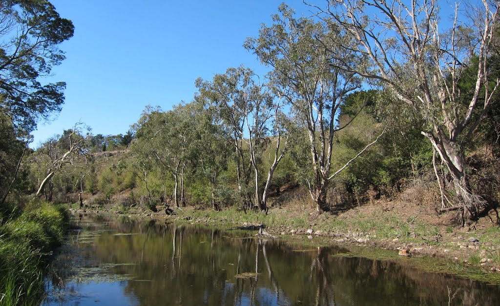
Photos of Corack East
Corack East Weather

Predicción: Clear sky
Temperatura: 11.6°
Humedad: 77%
Hora actual: 12:00 AM
Amanece: 08:55 PM
Anochece: 07:58 AM
Framlingham, Australia
Latitude: -38.2414 // Longitude: 142.705
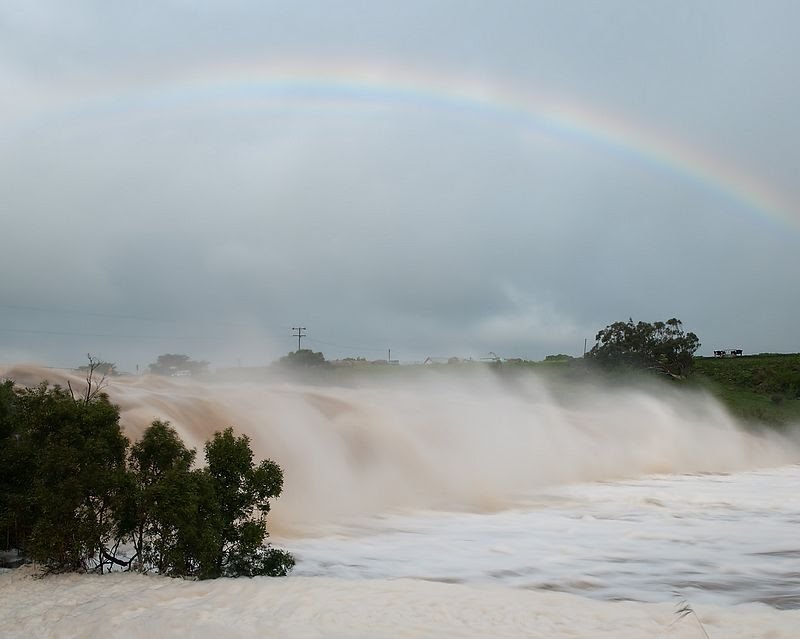
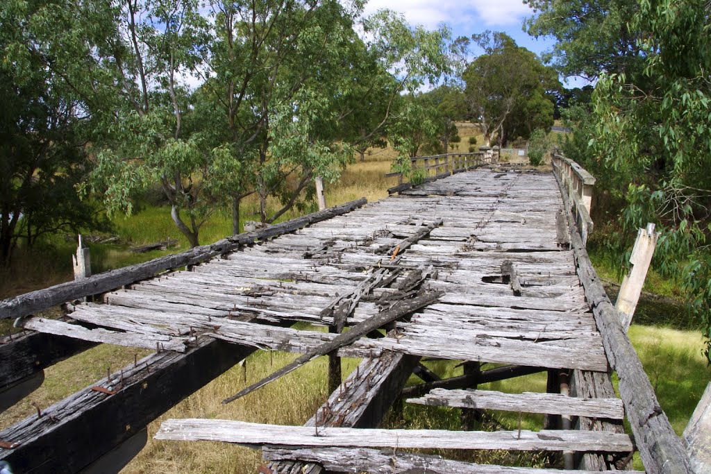
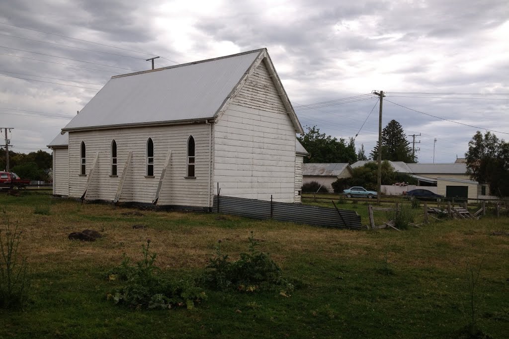
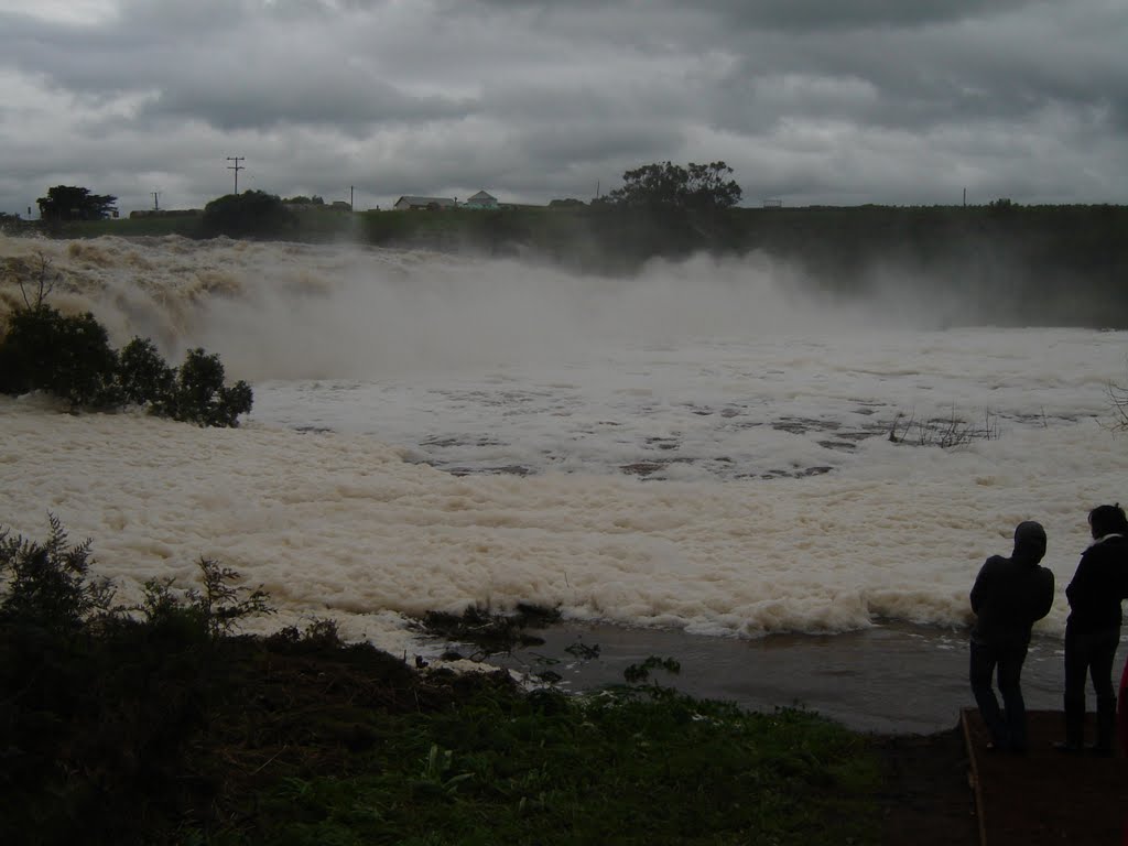
Photos of Framlingham
Framlingham Weather

Predicción: Overcast clouds
Temperatura: 11.4°
Humedad: 85%
Hora actual: 12:00 AM
Amanece: 08:59 PM
Anochece: 07:57 AM


