Distance between  Cope Cope and
  Tarrenlea
111.05 mi Straight Distance
155.78 mi Driving Distance
2 hours 41 mins Estimated Driving Time
The straight distance between Cope Cope (Victoria) and Tarrenlea (Victoria) is 111.05 mi, but the driving distance is 155.78 mi.
It takes 2 hours 43 mins to go from Cope Cope to Tarrenlea.
Driving directions from Cope Cope to Tarrenlea
Distance in kilometers
Straight distance: 178.67 km. Route distance: 250.65 km
Cope Cope, Australia
Latitude: -36.4614 // Longitude: 143.06
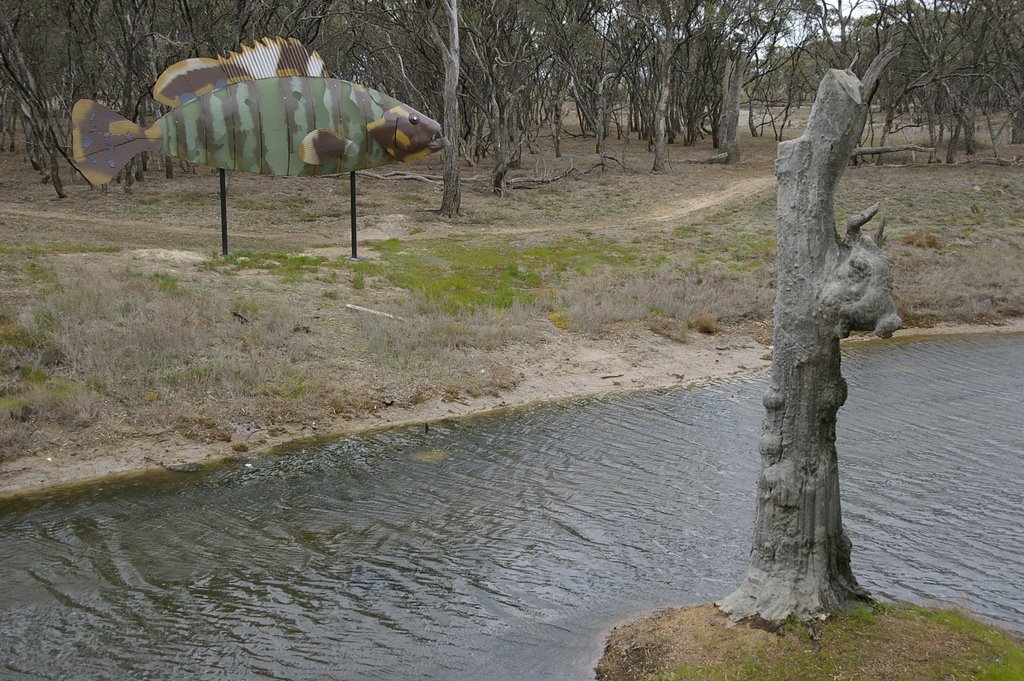
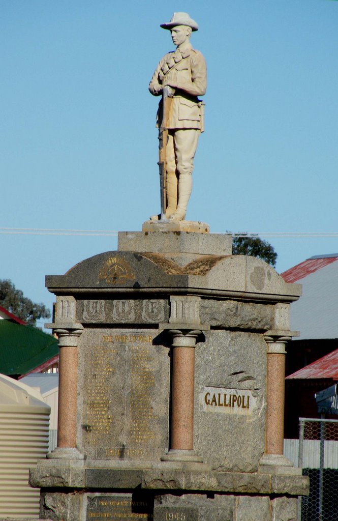
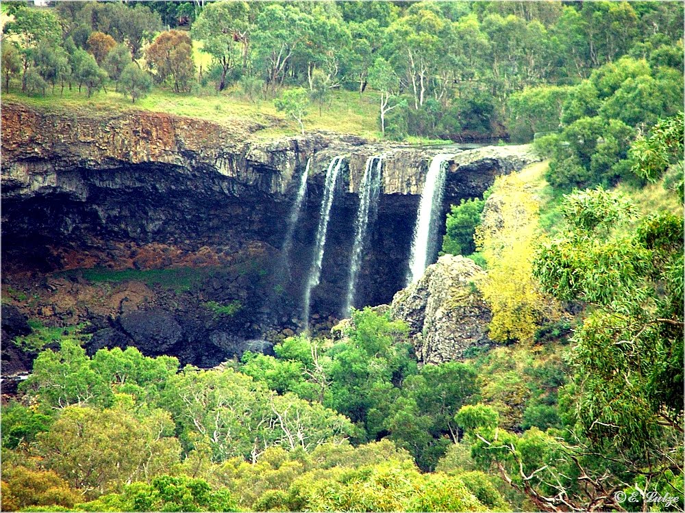
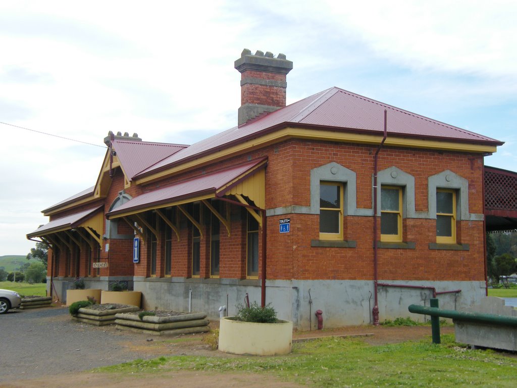
Photos of Cope Cope
Cope Cope Weather

Predicción: Overcast clouds
Temperatura: 14.5°
Humedad: 70%
Hora actual: 12:00 AM
Amanece: 08:54 PM
Anochece: 08:00 AM
Tarrenlea, Australia
Latitude: -37.6761 // Longitude: 141.741
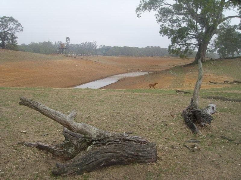
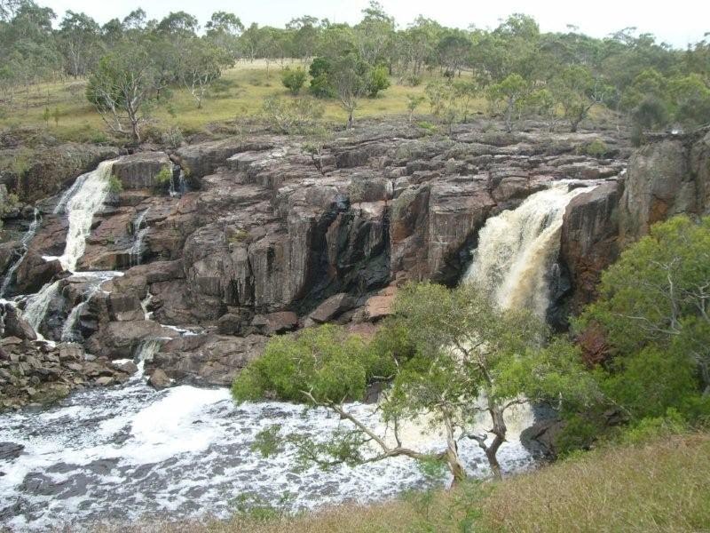
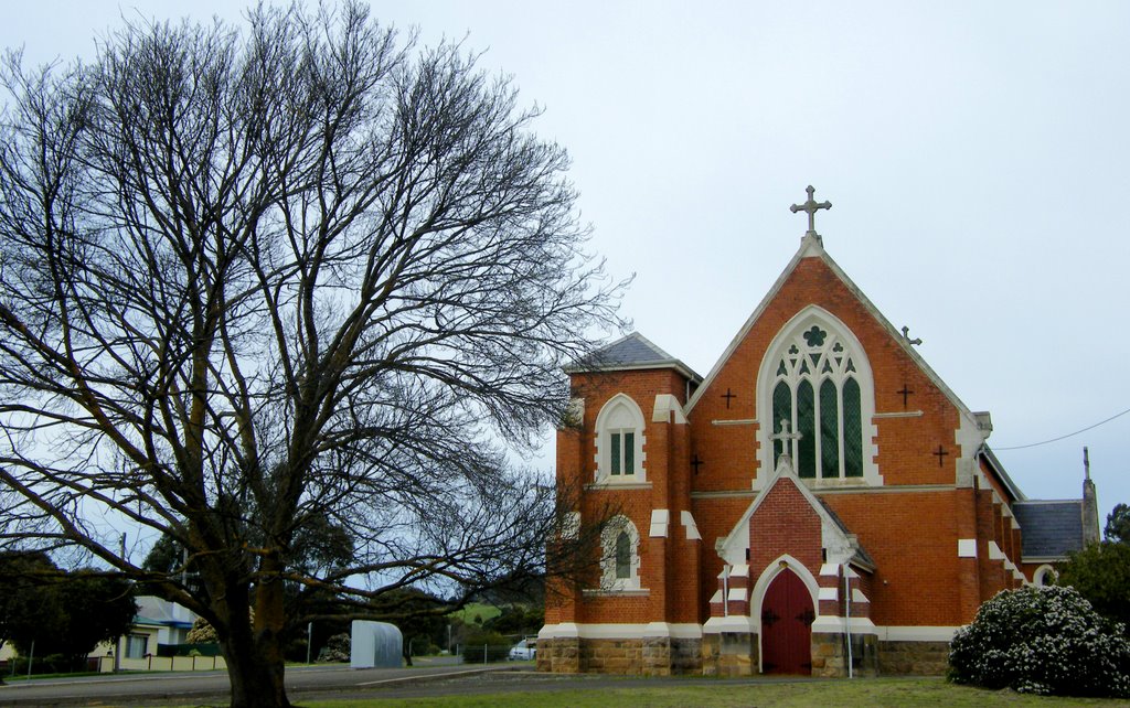
Photos of Tarrenlea
Tarrenlea Weather

Predicción: Broken clouds
Temperatura: 10.3°
Humedad: 87%
Hora actual: 12:00 AM
Amanece: 09:01 PM
Anochece: 08:04 AM


