Distance between  Cooma and
  Boggabilla
532.24 mi Straight Distance
625.28 mi Driving Distance
10 hours 42 mins Estimated Driving Time
The straight distance between Cooma (New South Wales) and Boggabilla (New South Wales) is 532.24 mi, but the driving distance is 625.28 mi.
It takes 11 hours 8 mins to go from Cooma to Boggabilla.
Driving directions from Cooma to Boggabilla
Distance in kilometers
Straight distance: 856.38 km. Route distance: 1,006.08 km
Cooma, Australia
Latitude: -36.2353 // Longitude: 149.125
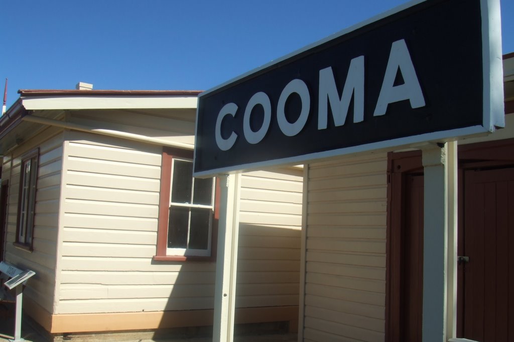
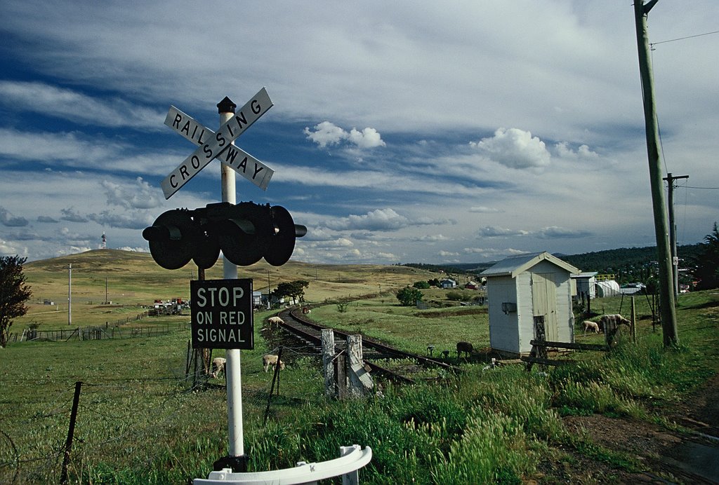
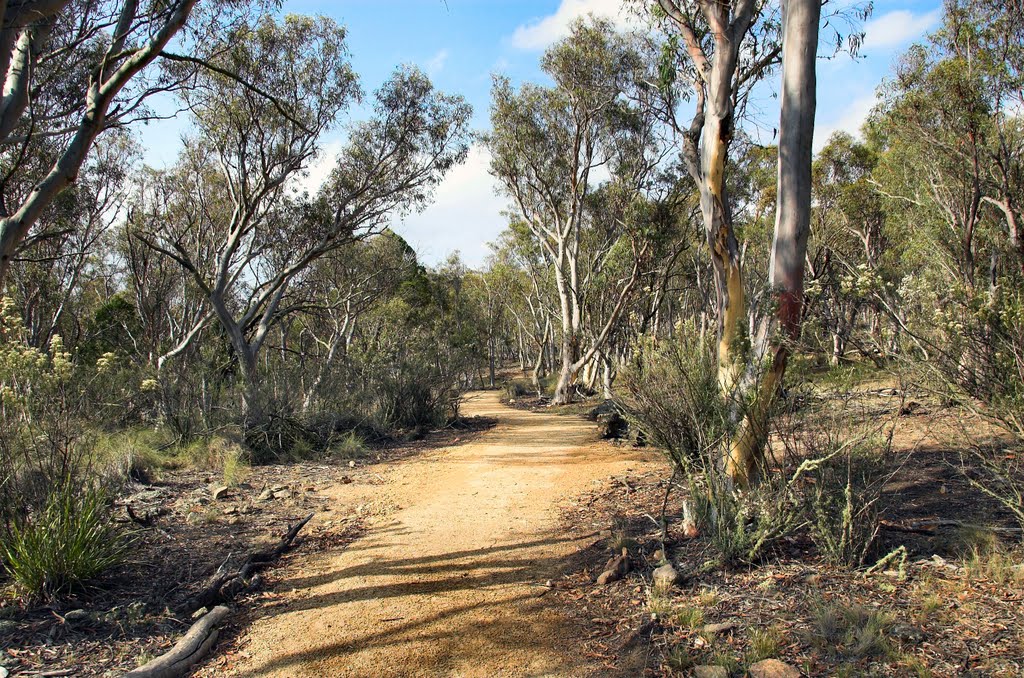
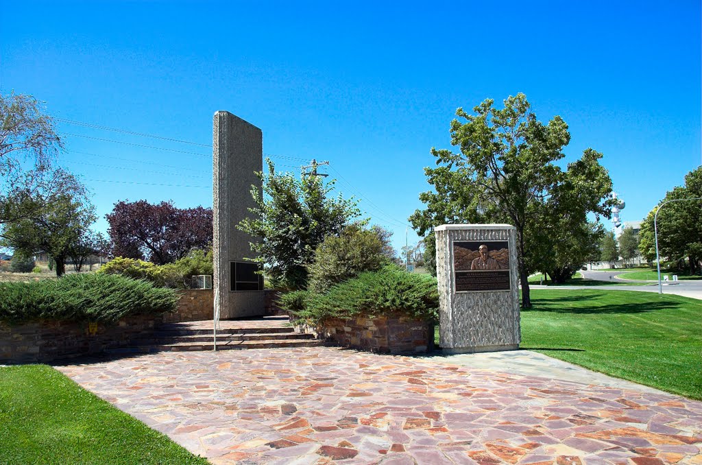
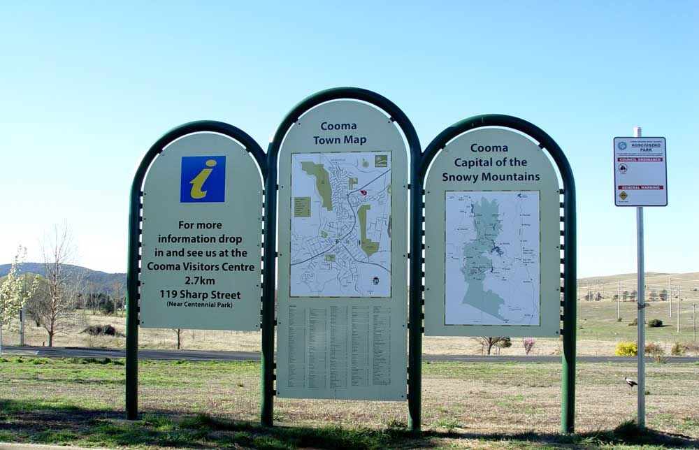
Photos of Cooma
Cooma Weather

Predicción: Scattered clouds
Temperatura: 12.2°
Humedad: 68%
Hora actual: 06:07 PM
Amanece: 06:31 AM
Anochece: 05:34 PM
Boggabilla, Australia
Latitude: -28.6027 // Longitude: 150.36
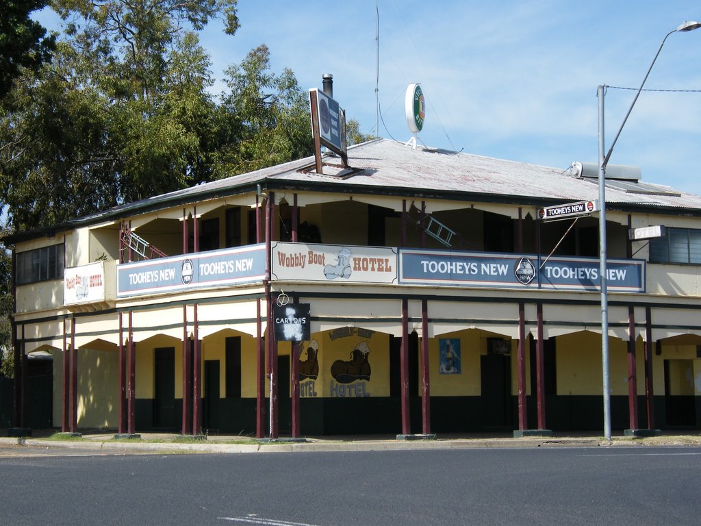
Photos of Boggabilla
Boggabilla Weather

Predicción: Scattered clouds
Temperatura: 21.4°
Humedad: 70%
Hora actual: 06:07 PM
Amanece: 06:18 AM
Anochece: 05:37 PM


