Distance between  Coolac and
  Bega
Bega
154.69 mi Straight Distance
232.82 mi Driving Distance
4 hours 22 mins Estimated Driving Time
The straight distance between Coolac (New South Wales) and Bega (New South Wales) is 154.69 mi, but the driving distance is 232.82 mi.
It takes 4 hours 13 mins to go from Coolac to Bega.
Driving directions from Coolac to Bega
Distance in kilometers
Straight distance: 248.90 km. Route distance: 374.60 km
Coolac, Australia
Latitude: -34.8996 // Longitude: 148.16
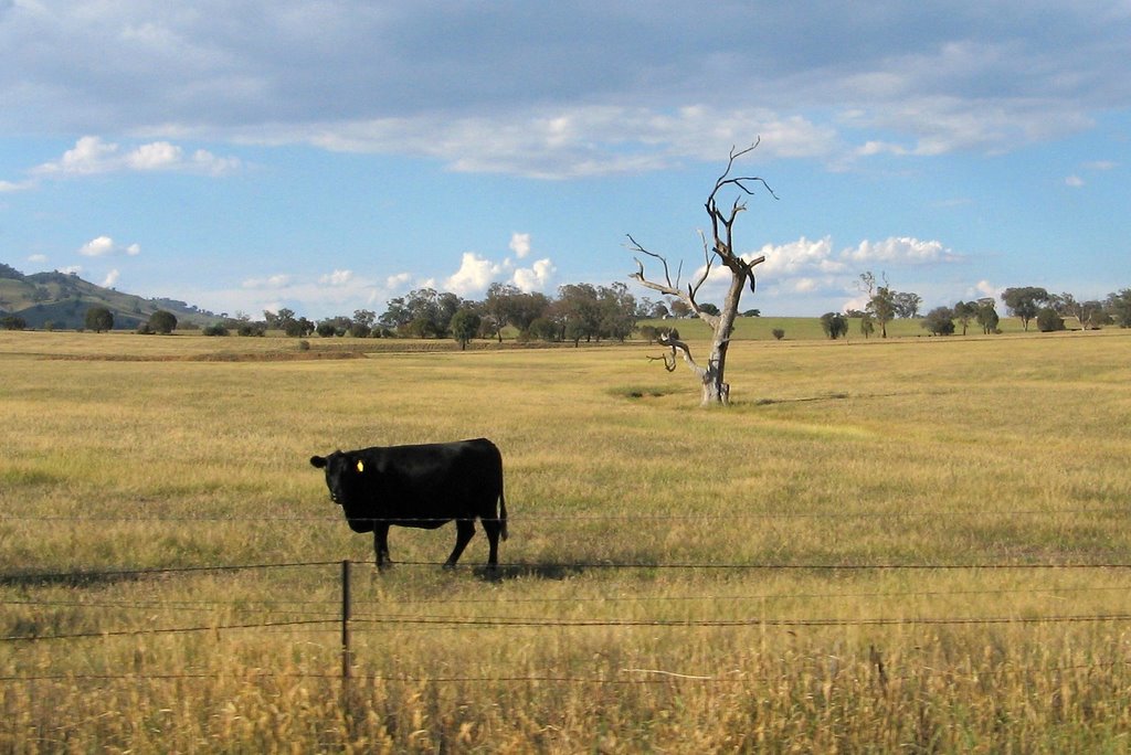
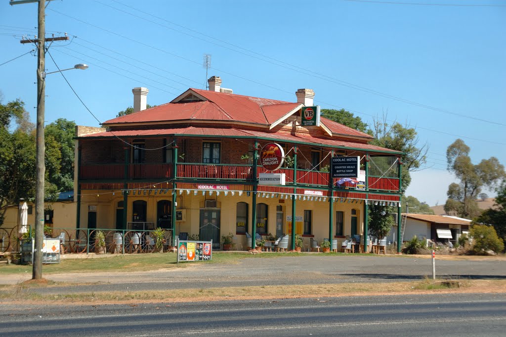
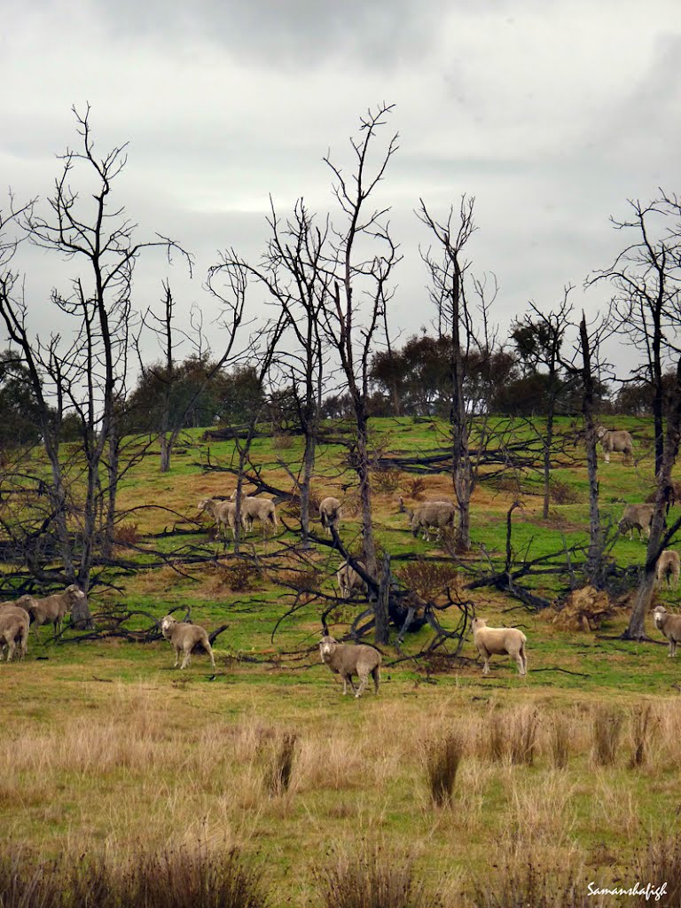
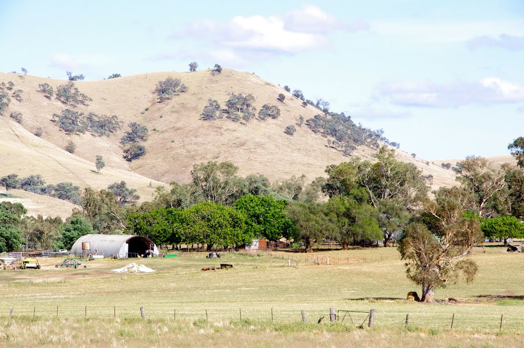
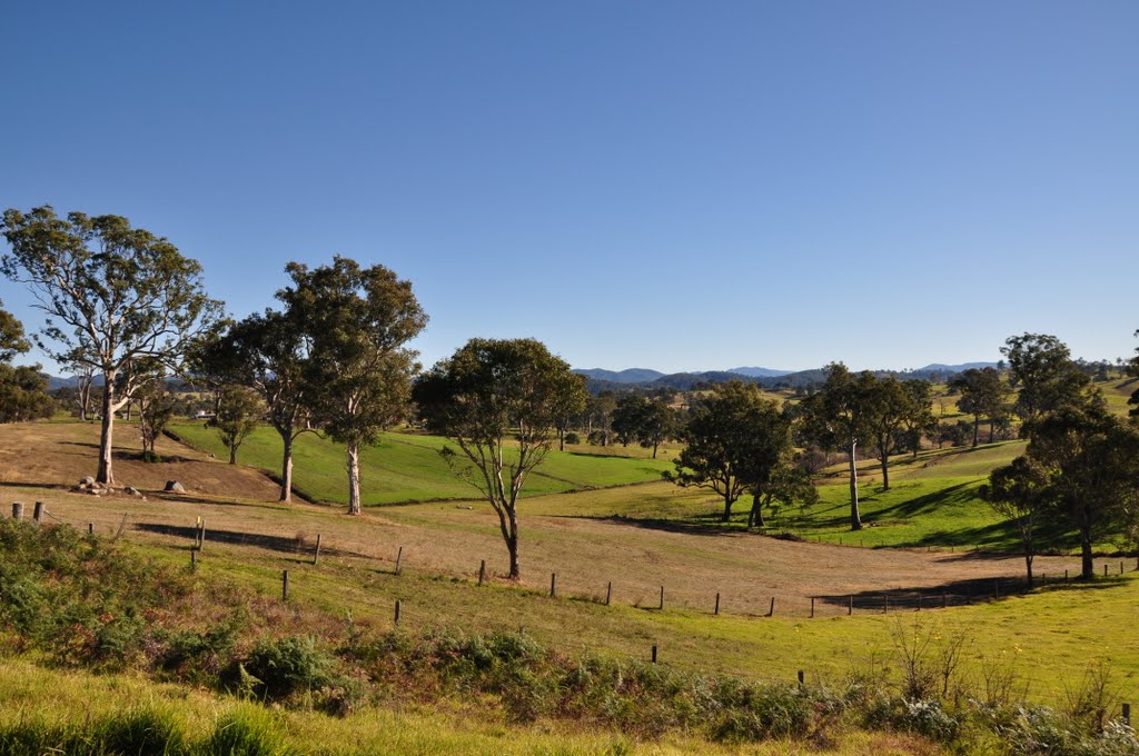
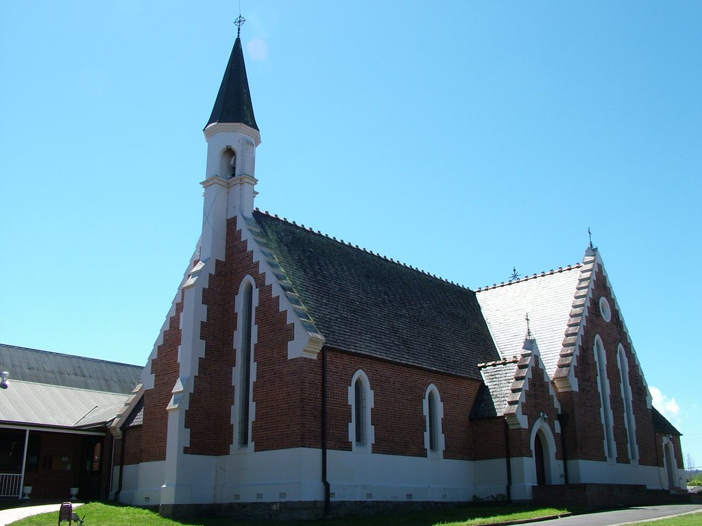
Photos of Coolac
Coolac Weather

Predicción: Few clouds
Temperatura: 16.4°
Humedad: 50%
Hora actual: 12:00 AM
Amanece: 08:34 PM
Anochece: 07:38 AM
Bega, Australia
Latitude: -36.6742 // Longitude: 149.843
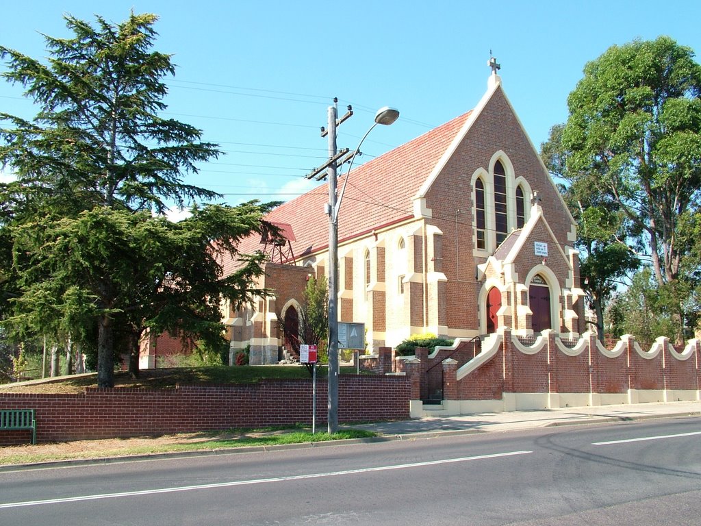
Photos of Bega
Bega Weather

Predicción: Scattered clouds
Temperatura: 19.4°
Humedad: 42%
Hora actual: 10:49 AM
Amanece: 06:29 AM
Anochece: 05:29 PM


