Distance between  Cooktown and
  Brigalow
862.80 mi Straight Distance
1,160.07 mi Driving Distance
21 hours 2 mins Estimated Driving Time
The straight distance between Cooktown (Queensland) and Brigalow (Queensland) is 862.80 mi, but the driving distance is 1,160.07 mi.
It takes to go from Cooktown to Brigalow.
Driving directions from Cooktown to Brigalow
Distance in kilometers
Straight distance: 1,388.25 km. Route distance: 1,866.55 km
Cooktown, Australia
Latitude: -15.4681 // Longitude: 145.251
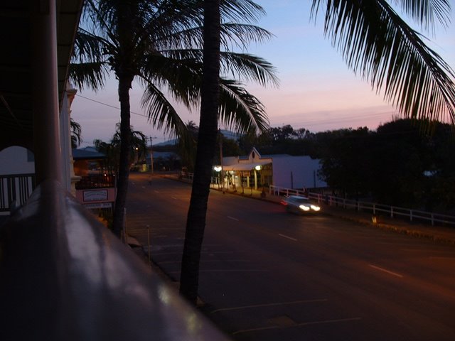
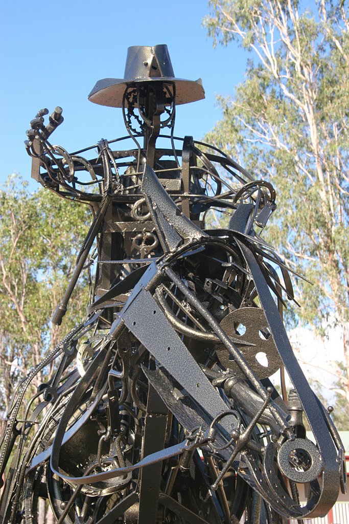
Photos of Cooktown
Cooktown Weather

Predicción: Light rain
Temperatura: 25.2°
Humedad: 94%
Hora actual: 08:05 PM
Amanece: 06:27 AM
Anochece: 06:09 PM
Brigalow, Australia
Latitude: -26.8432 // Longitude: 150.789
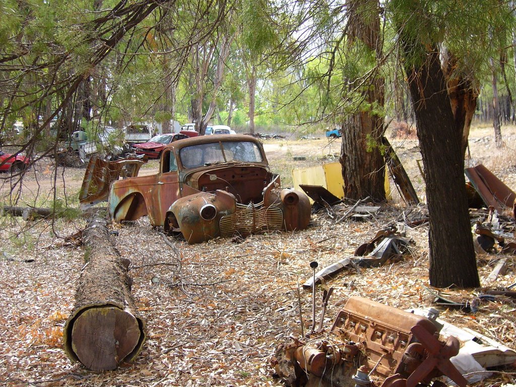
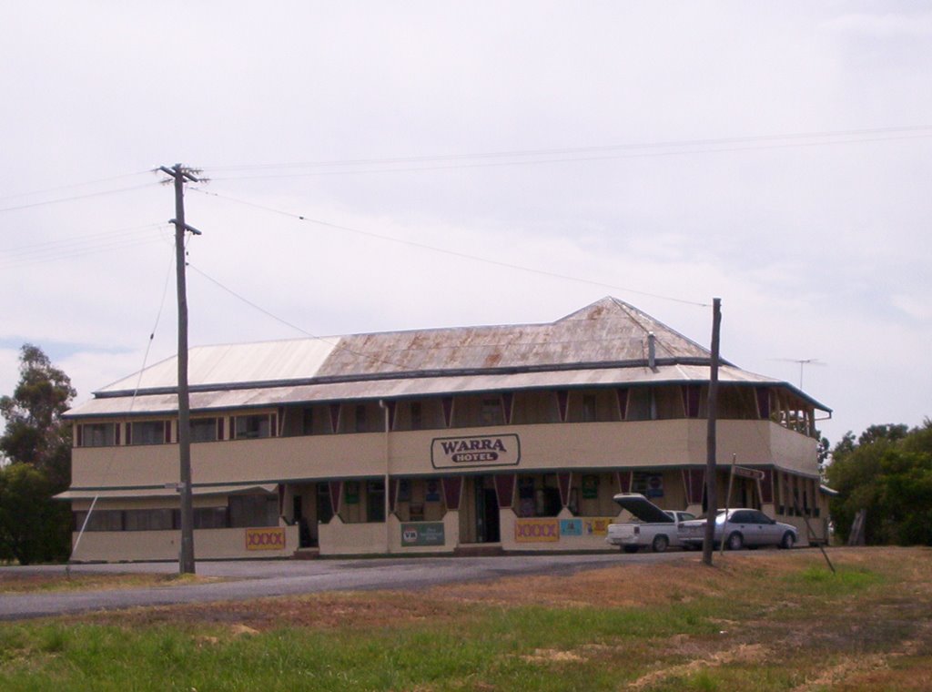
Photos of Brigalow
Brigalow Weather

Predicción: Overcast clouds
Temperatura: 21.6°
Humedad: 70%
Hora actual: 10:00 AM
Amanece: 06:14 AM
Anochece: 05:37 PM


