Distance between  Cooke Plains and
  Beachport
147.10 mi Straight Distance
186.22 mi Driving Distance
3 hours 8 mins Estimated Driving Time
The straight distance between Cooke Plains (South Australia) and Beachport (South Australia) is 147.10 mi, but the driving distance is 186.22 mi.
It takes to go from Cooke Plains to Beachport.
Driving directions from Cooke Plains to Beachport
Distance in kilometers
Straight distance: 236.68 km. Route distance: 299.63 km
Cooke Plains, Australia
Latitude: -35.3819 // Longitude: 139.567
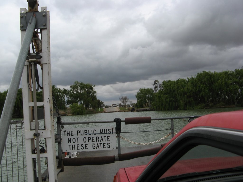
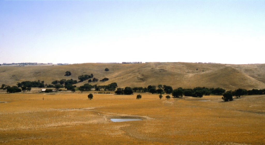
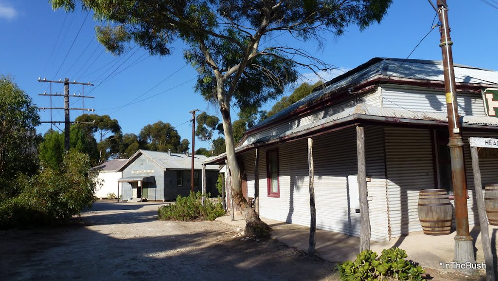
Photos of Cooke Plains
Cooke Plains Weather

Predicción: Clear sky
Temperatura: 10.0°
Humedad: 92%
Hora actual: 12:00 AM
Amanece: 09:07 PM
Anochece: 08:15 AM
Beachport, Australia
Latitude: -37.4806 // Longitude: 140.012
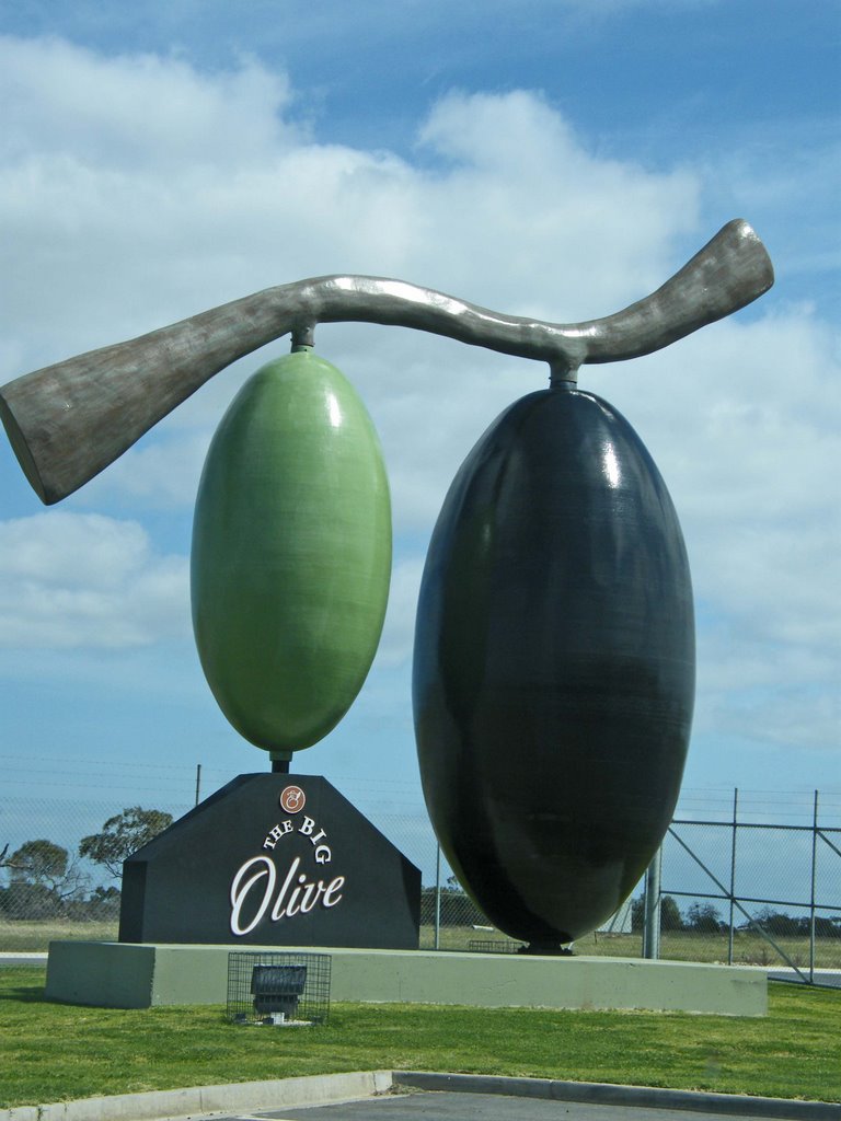
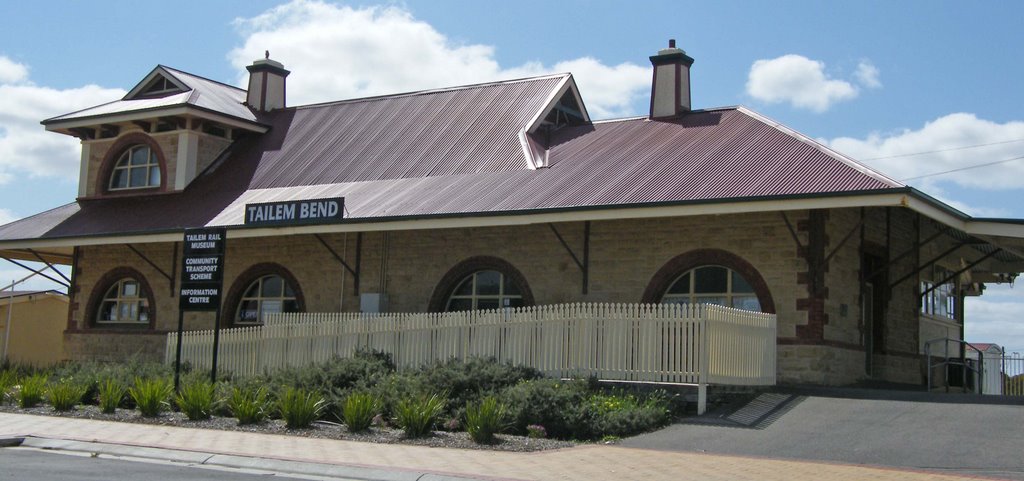
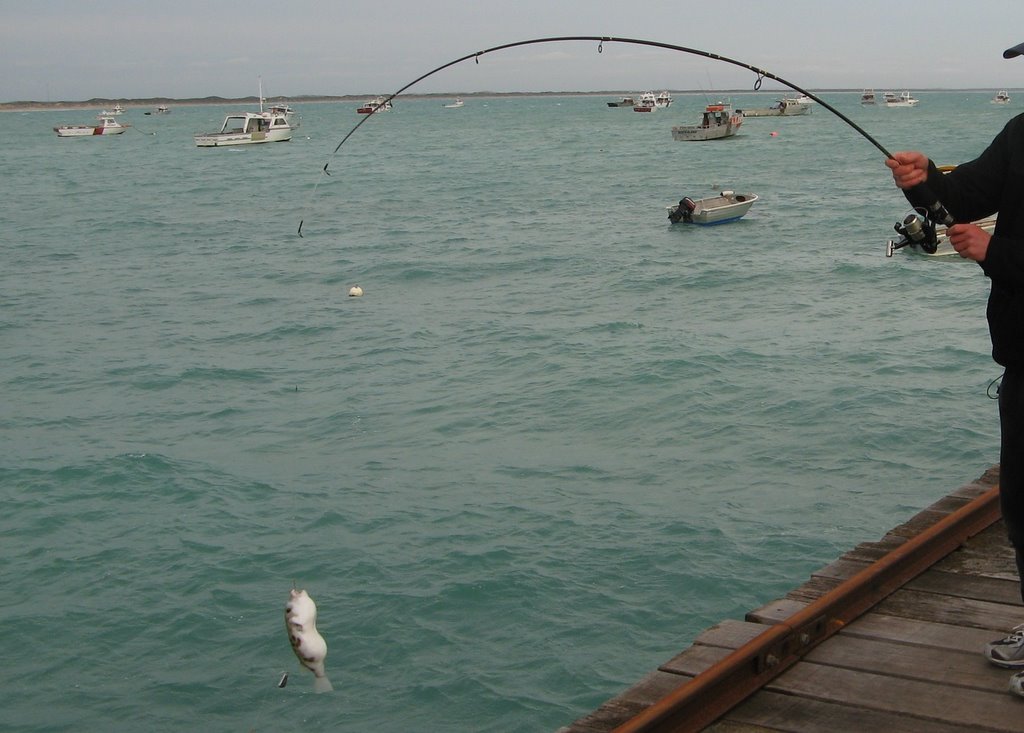
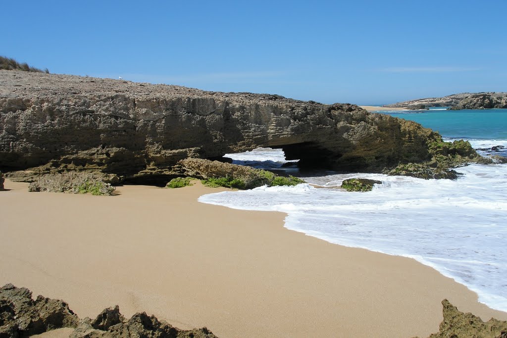
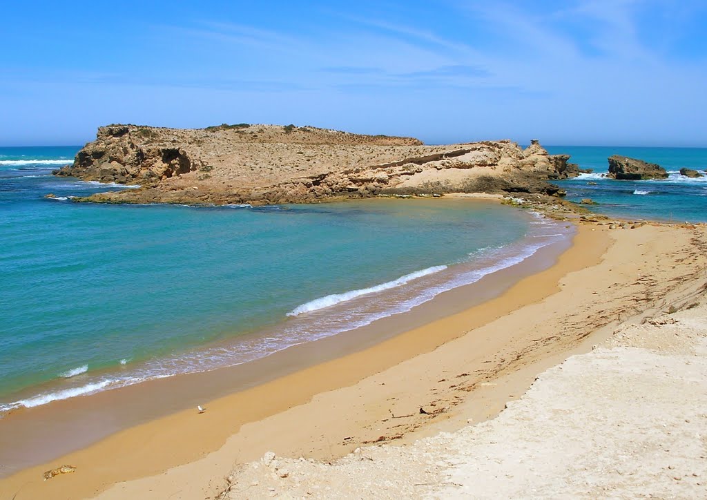
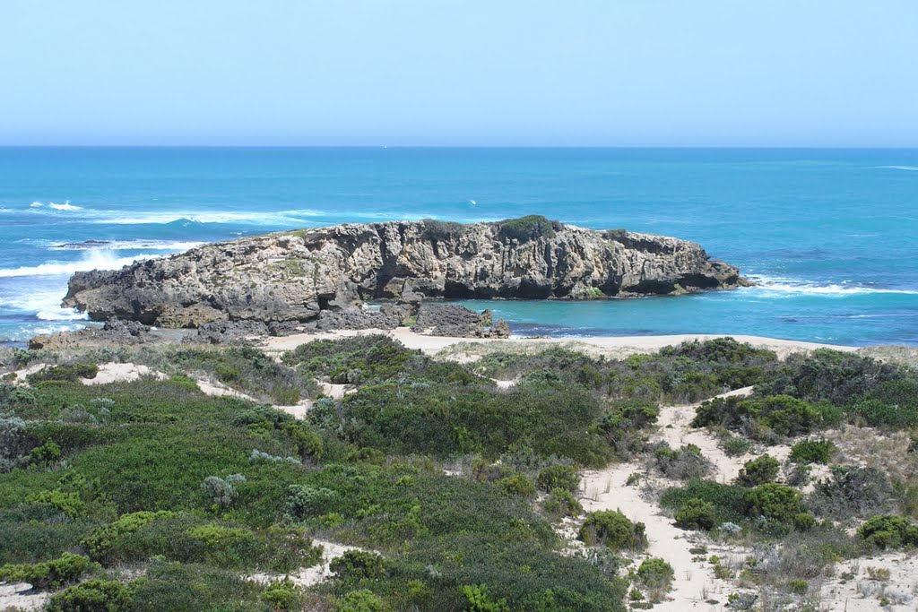
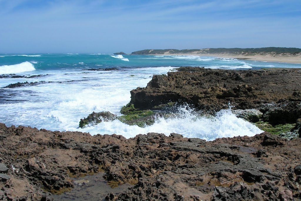
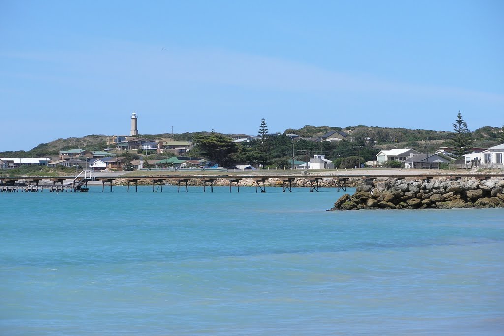
Photos of Beachport
Beachport Weather

Predicción: Broken clouds
Temperatura: 13.3°
Humedad: 79%
Hora actual: 04:15 AM
Amanece: 06:38 AM
Anochece: 05:40 PM


