Distance between  Connellys Marsh and
  Wahring
446.52 mi Straight Distance
542.63 mi Driving Distance
13 hours 48 mins Estimated Driving Time
The straight distance between Connellys Marsh (Tasmania) and Wahring (Victoria) is 446.52 mi, but the driving distance is 542.63 mi.
It takes to go from Connellys Marsh to Wahring.
Driving directions from Connellys Marsh to Wahring
Distance in kilometers
Straight distance: 718.45 km. Route distance: 873.09 km
Connellys Marsh, Australia
Latitude: -42.8824 // Longitude: 147.719
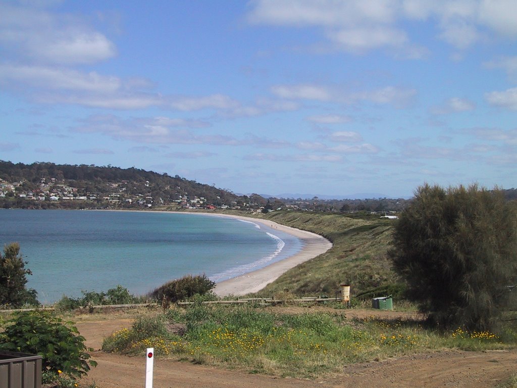
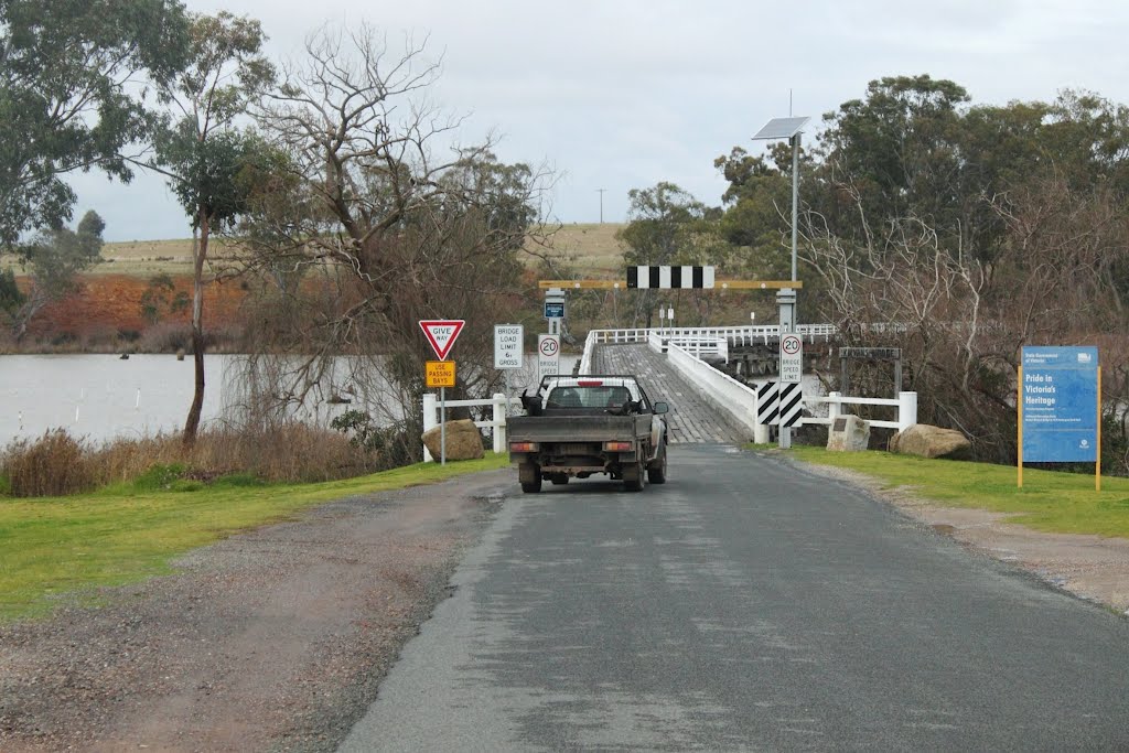
Photos of Connellys Marsh
Connellys Marsh Weather

Predicción: Broken clouds
Temperatura: 13.6°
Humedad: 62%
Hora actual: 11:16 AM
Amanece: 06:46 AM
Anochece: 05:30 PM
Wahring, Australia
Latitude: -36.7119 // Longitude: 145.215
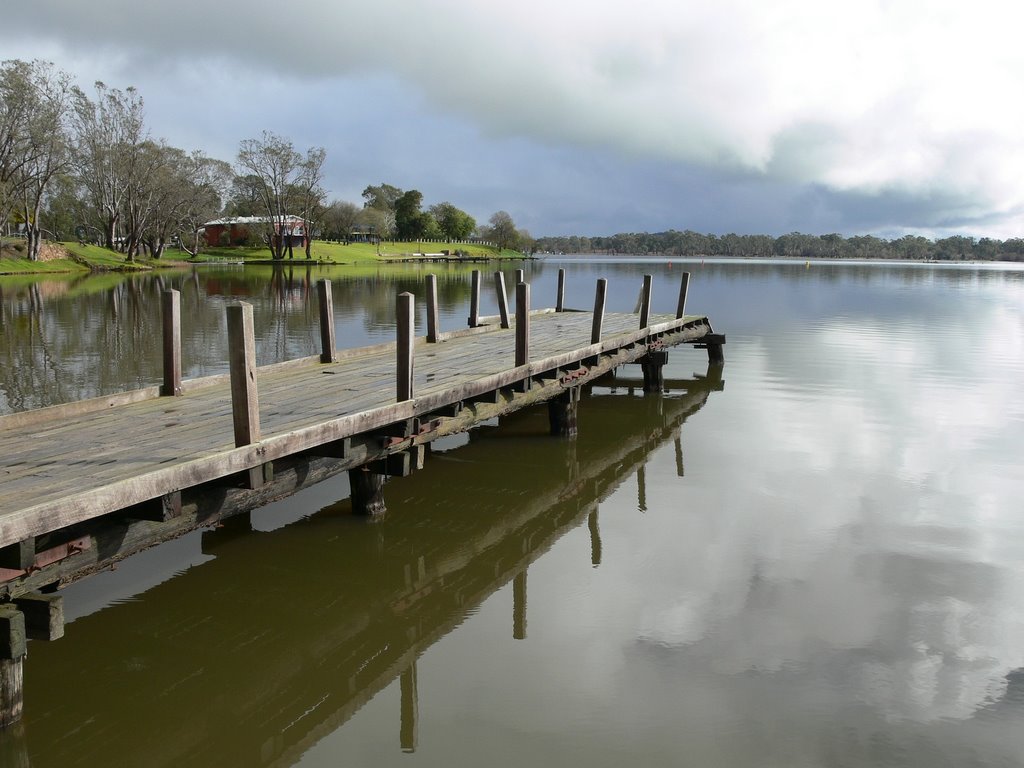
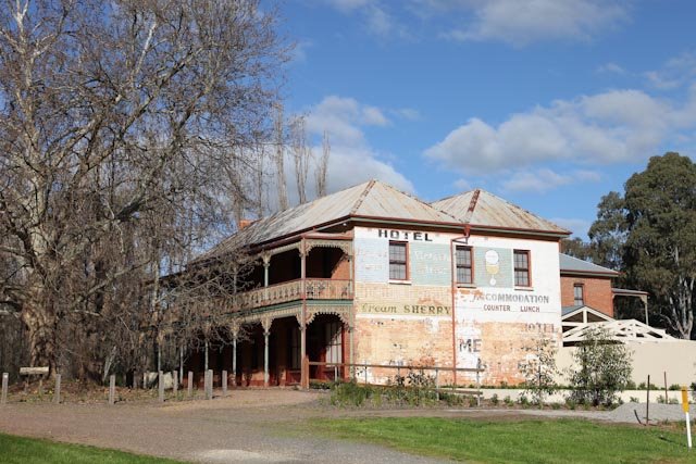
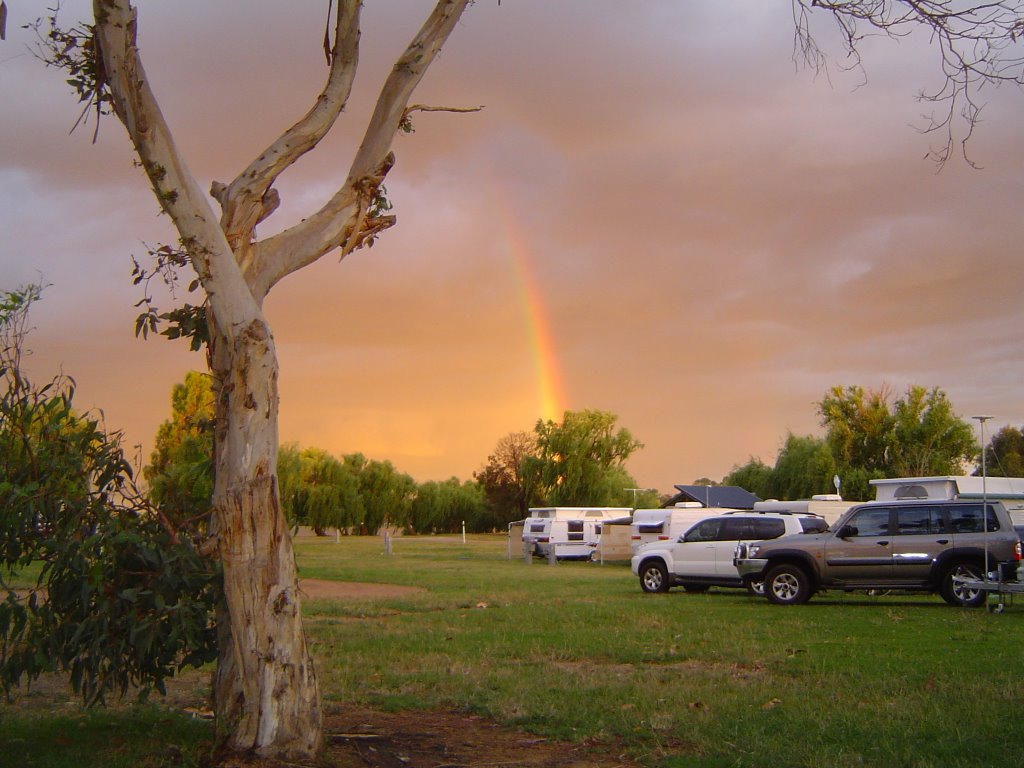
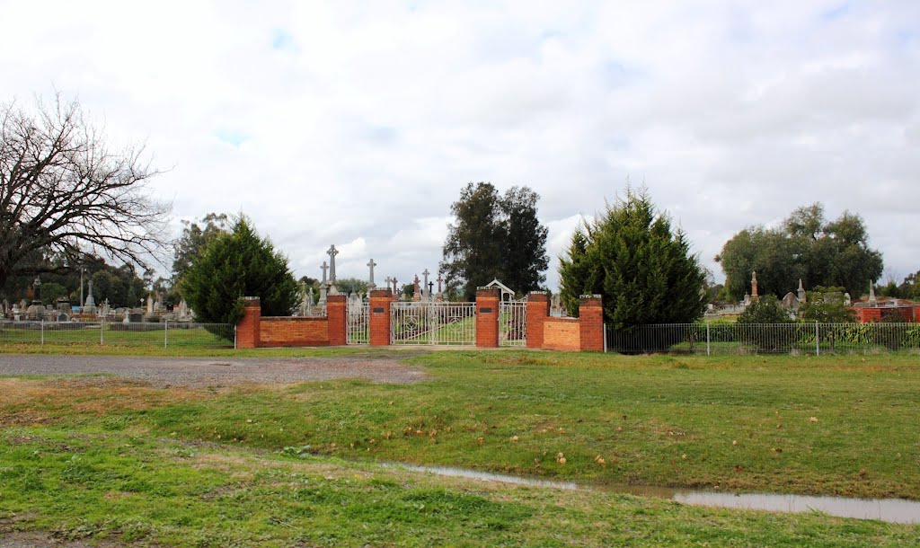
Photos of Wahring
Wahring Weather

Predicción: Clear sky
Temperatura: 17.5°
Humedad: 50%
Hora actual: 11:00 AM
Amanece: 06:48 AM
Anochece: 05:48 PM


