Distance between  Condingup and
  Cadell
987.74 mi Straight Distance
1,384.31 mi Driving Distance
22 hours 8 mins Estimated Driving Time
The straight distance between Condingup (Western Australia) and Cadell (South Australia) is 987.74 mi, but the driving distance is 1,384.31 mi.
It takes to go from Condingup to Cadell.
Driving directions from Condingup to Cadell
Distance in kilometers
Straight distance: 1,589.27 km. Route distance: 2,227.36 km
Condingup, Australia
Latitude: -33.7477 // Longitude: 122.527
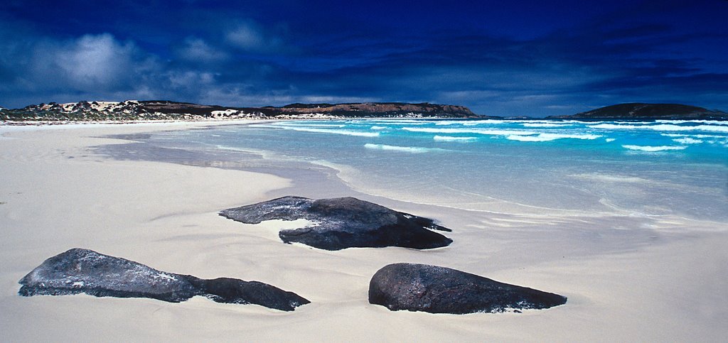
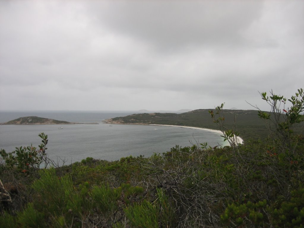
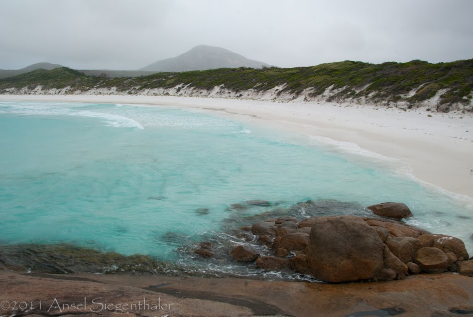
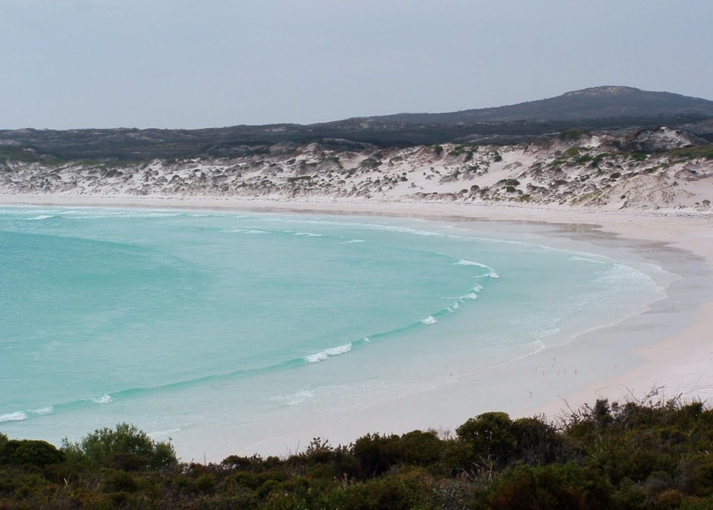
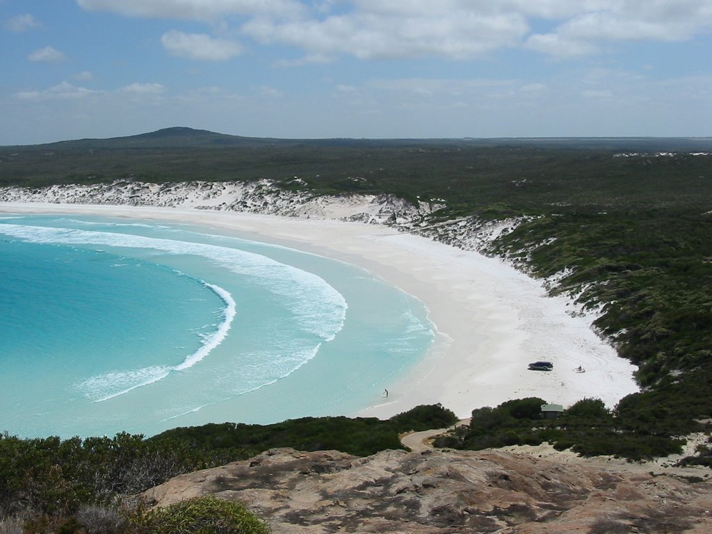
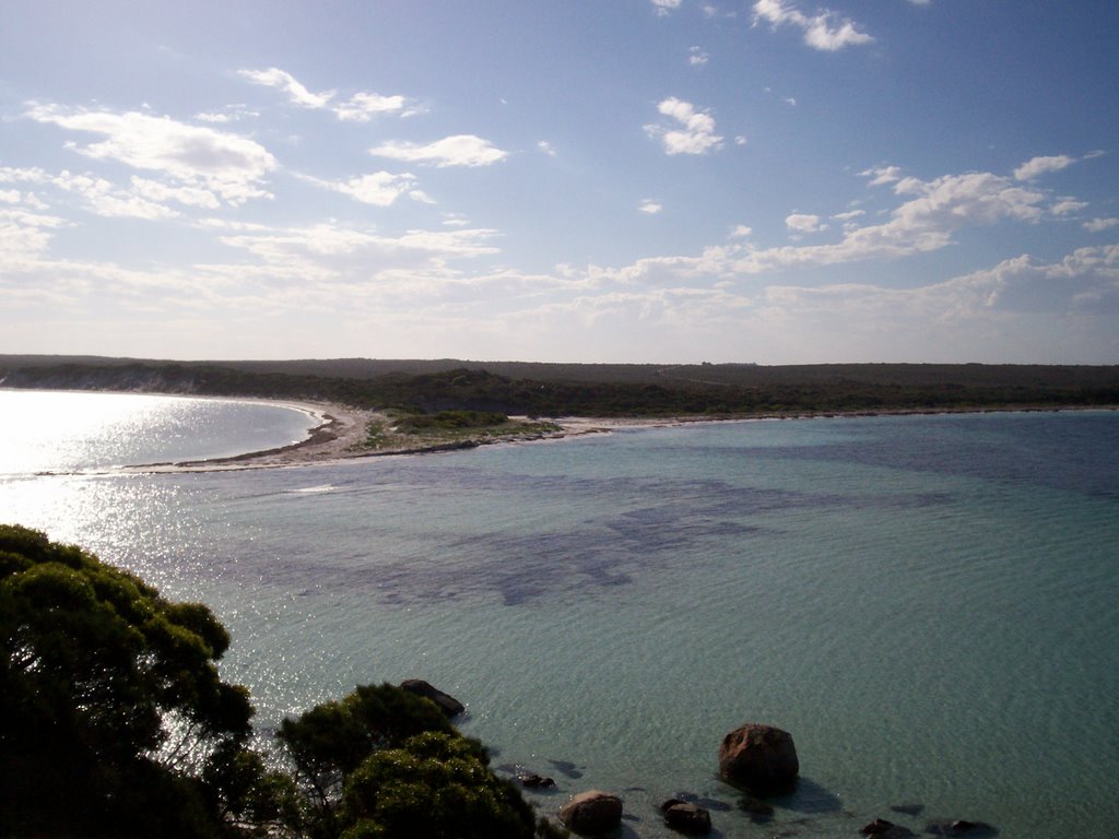
Photos of Condingup
Condingup Weather

Predicción: Clear sky
Temperatura: 15.1°
Humedad: 75%
Hora actual: 12:00 AM
Amanece: 10:15 PM
Anochece: 09:23 AM
Cadell, Australia
Latitude: -34.0394 // Longitude: 139.766
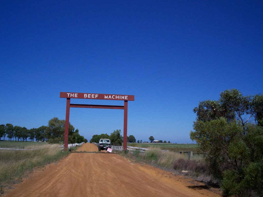
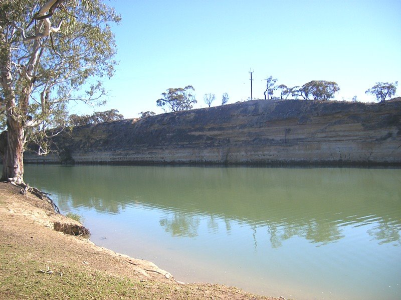
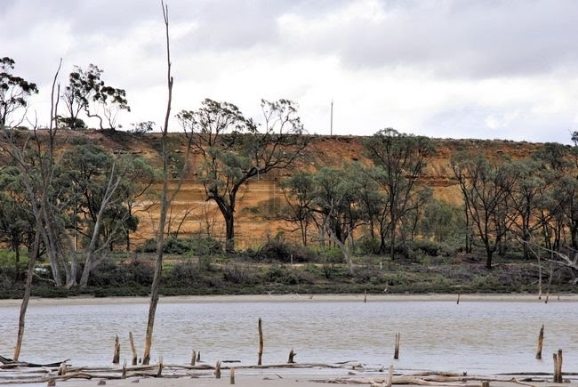
Photos of Cadell
Cadell Weather

Predicción: Broken clouds
Temperatura: 15.1°
Humedad: 72%
Hora actual: 09:11 AM
Amanece: 06:36 AM
Anochece: 05:43 PM


