Distance between  Combaning and
  Zilzie
795.68 mi Straight Distance
952.82 mi Driving Distance
16 hours 57 mins Estimated Driving Time
The straight distance between Combaning (New South Wales) and Zilzie (Queensland) is 795.68 mi, but the driving distance is 952.82 mi.
It takes to go from Combaning to Zilzie.
Driving directions from Combaning to Zilzie
Distance in kilometers
Straight distance: 1,280.24 km. Route distance: 1,533.08 km
Combaning, Australia
Latitude: -34.457 // Longitude: 147.673
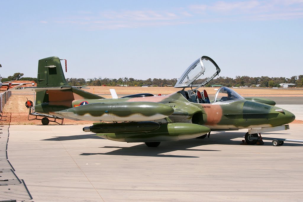
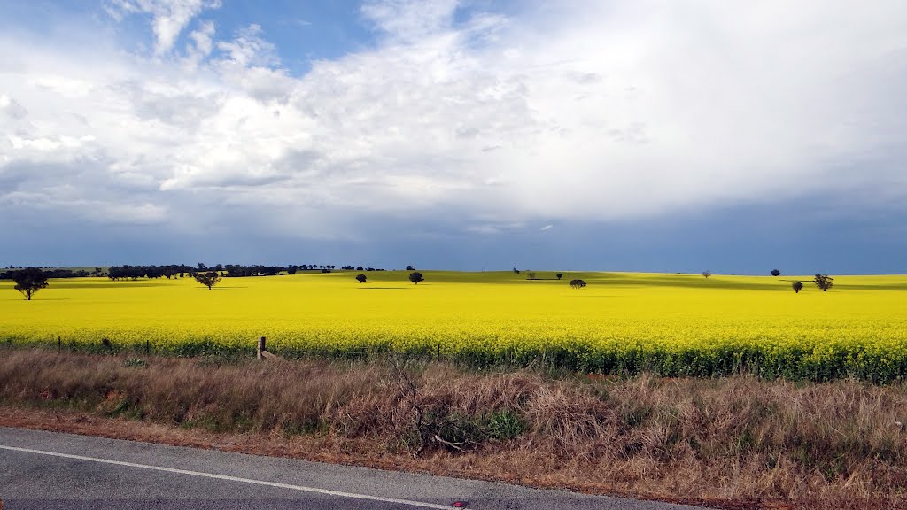
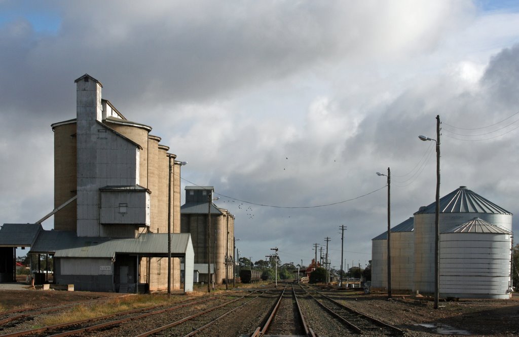
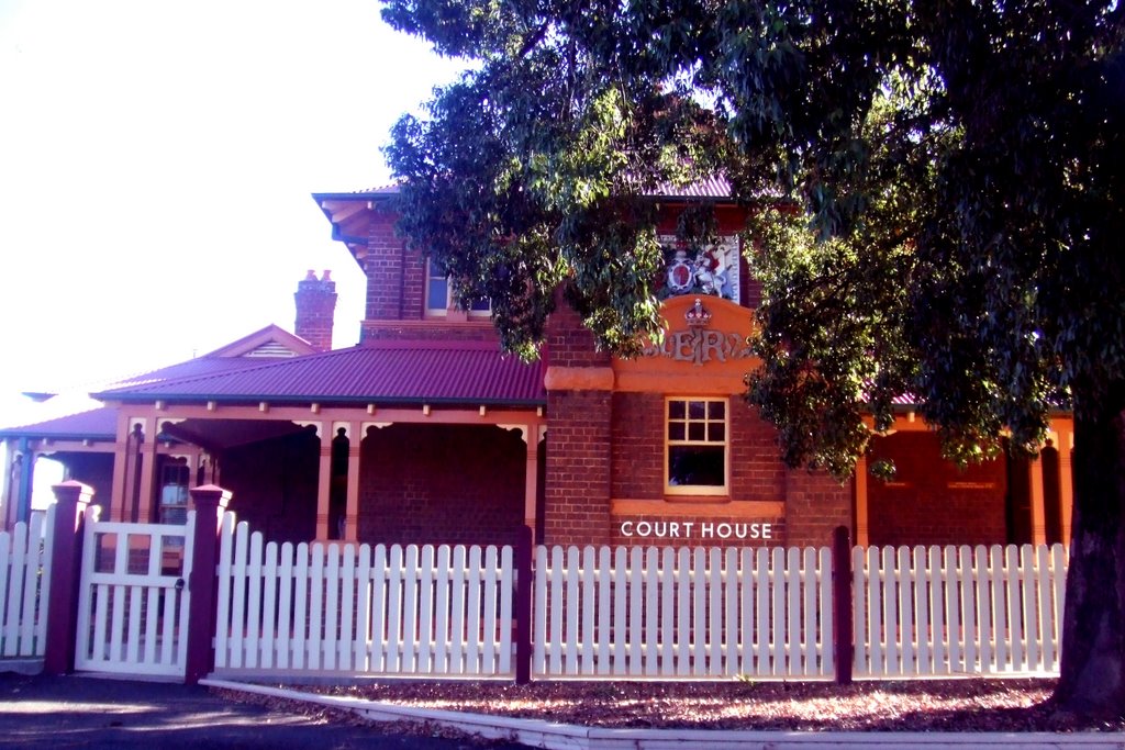
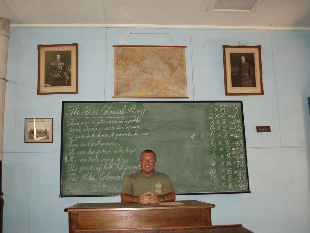
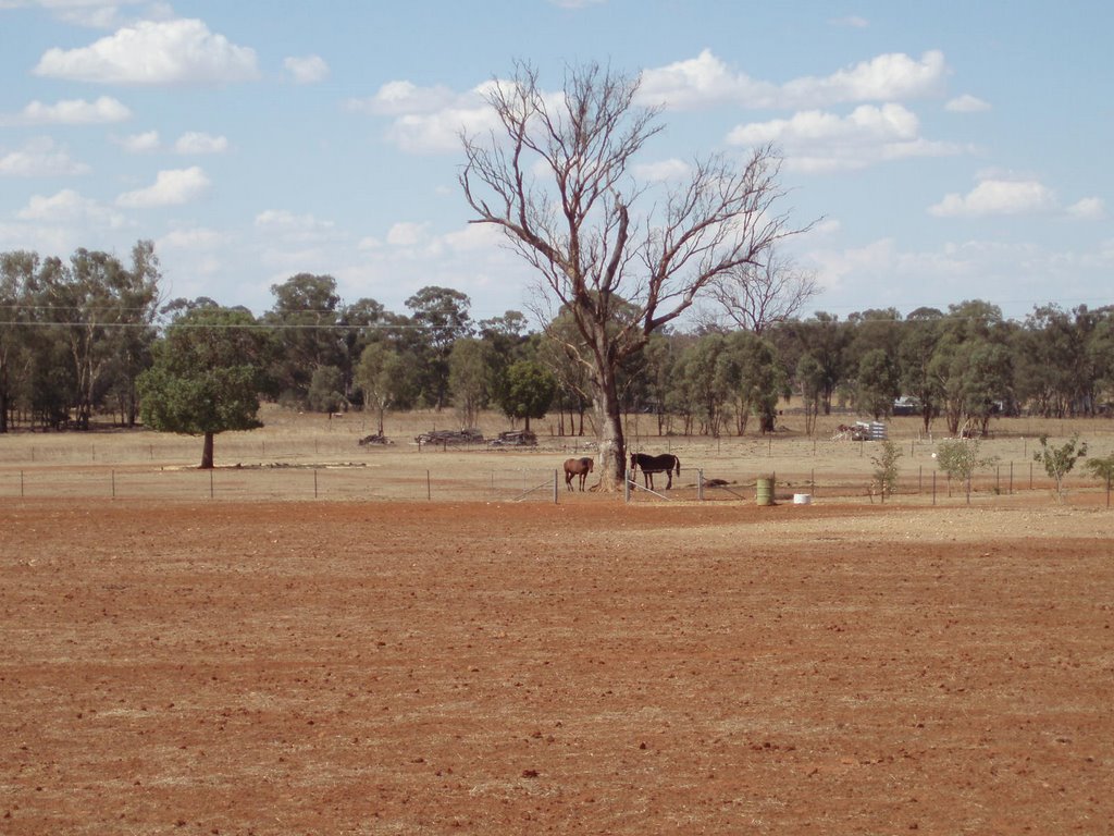
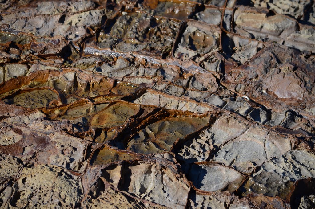
Photos of Combaning
Combaning Weather

Predicción: Overcast clouds
Temperatura: 12.5°
Humedad: 67%
Hora actual: 12:00 AM
Amanece: 08:35 PM
Anochece: 07:41 AM
Zilzie, Australia
Latitude: -23.2736 // Longitude: 150.82
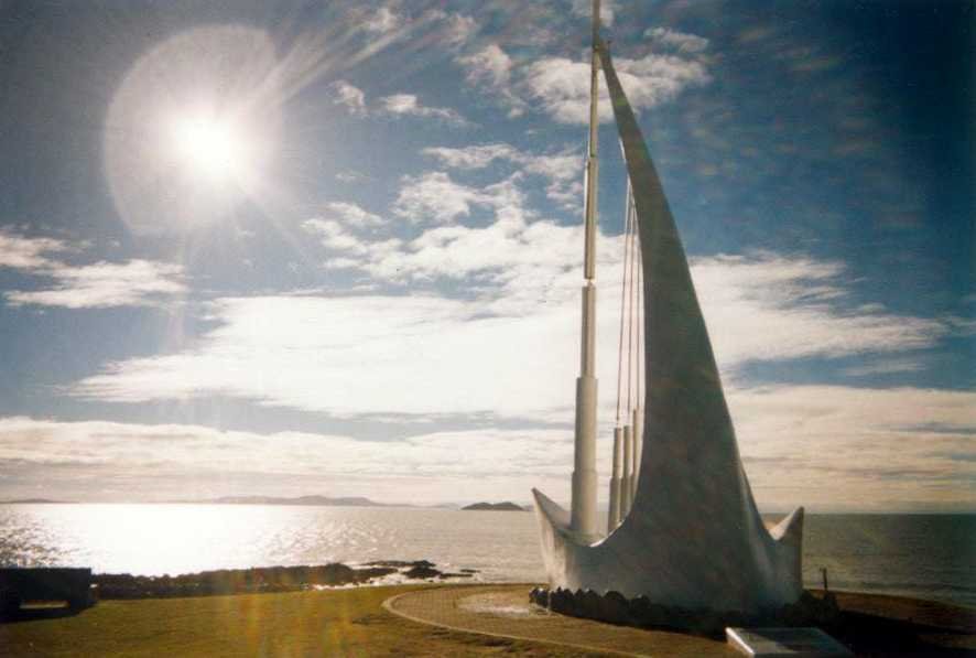
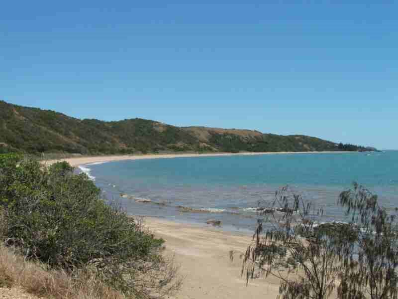
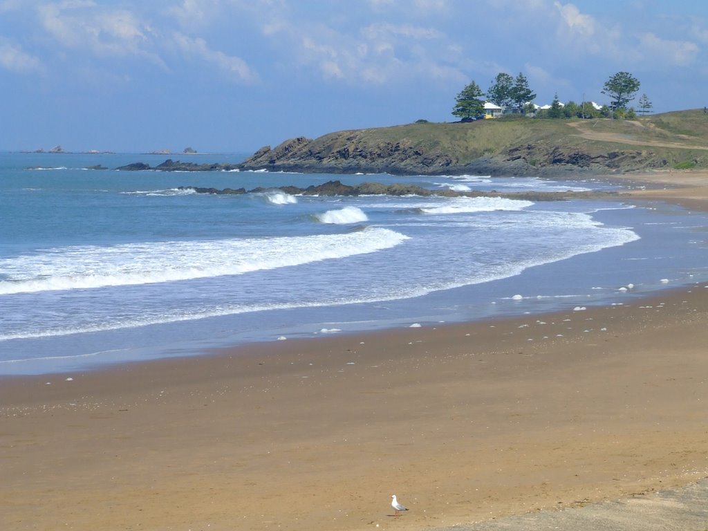
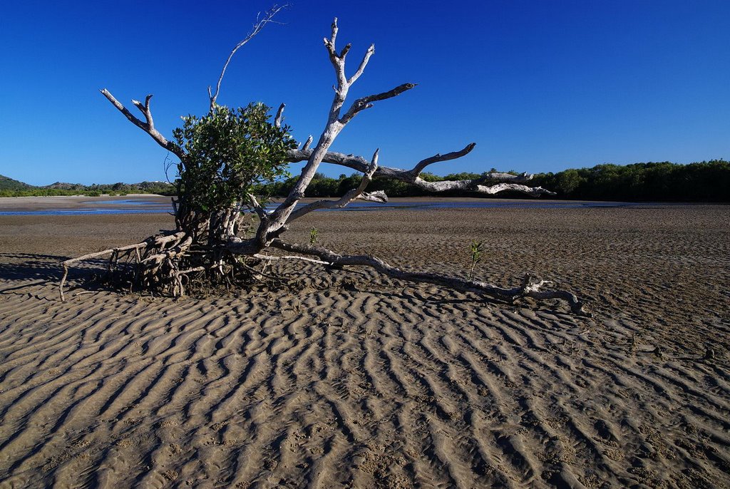
Photos of Zilzie
Zilzie Weather

Predicción: Broken clouds
Temperatura: 24.0°
Humedad: 78%
Hora actual: 09:01 AM
Amanece: 06:11 AM
Anochece: 05:39 PM


