Distance between  Collombatti and
  Wallaville
407.56 mi Straight Distance
556.93 mi Driving Distance
10 hours 51 mins Estimated Driving Time
The straight distance between Collombatti (New South Wales) and Wallaville (Queensland) is 407.56 mi, but the driving distance is 556.93 mi.
It takes to go from Collombatti to Wallaville.
Driving directions from Collombatti to Wallaville
Distance in kilometers
Straight distance: 655.77 km. Route distance: 896.10 km
Collombatti, Australia
Latitude: -30.9378 // Longitude: 152.741
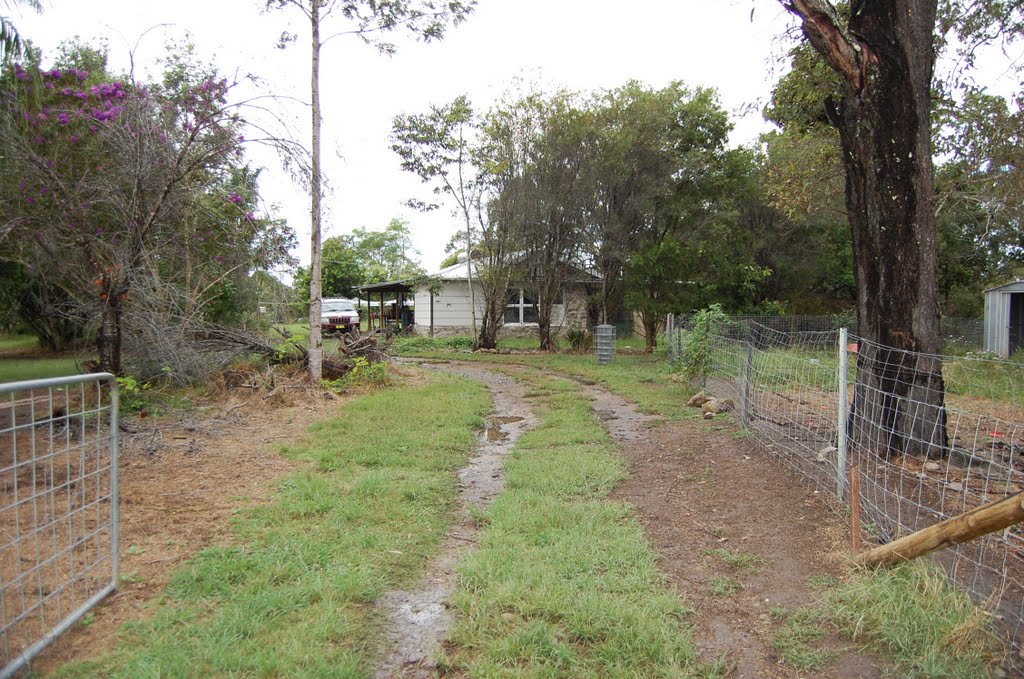
Photos of Collombatti
Collombatti Weather

Predicción: Clear sky
Temperatura: 14.1°
Humedad: 94%
Hora actual: 01:48 AM
Amanece: 06:11 AM
Anochece: 05:24 PM
Wallaville, Australia
Latitude: -25.076 // Longitude: 151.994
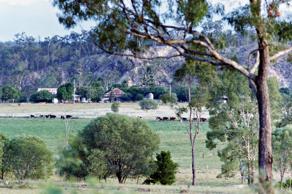
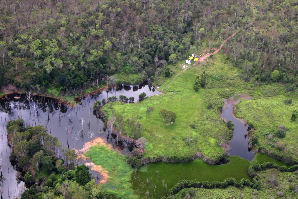
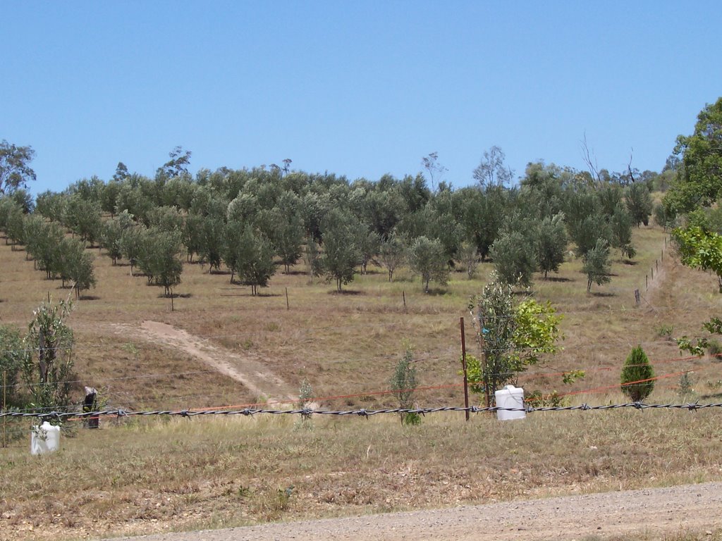
Photos of Wallaville
Wallaville Weather

Predicción: Broken clouds
Temperatura: 20.5°
Humedad: 96%
Hora actual: 10:00 AM
Amanece: 06:08 AM
Anochece: 05:33 PM


