Distance between  Coles Bay and
  Cosgrove
423.46 mi Straight Distance
564.28 mi Driving Distance
13 hours 57 mins Estimated Driving Time
The straight distance between Coles Bay (Tasmania) and Cosgrove (Victoria) is 423.46 mi, but the driving distance is 564.28 mi.
It takes to go from Coles Bay to Cosgrove.
Driving directions from Coles Bay to Cosgrove
Distance in kilometers
Straight distance: 681.35 km. Route distance: 907.92 km
Coles Bay, Australia
Latitude: -42.1217 // Longitude: 148.288
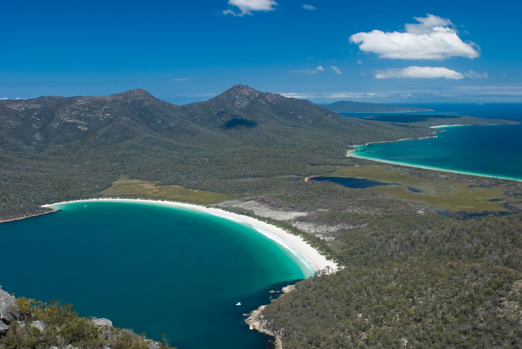
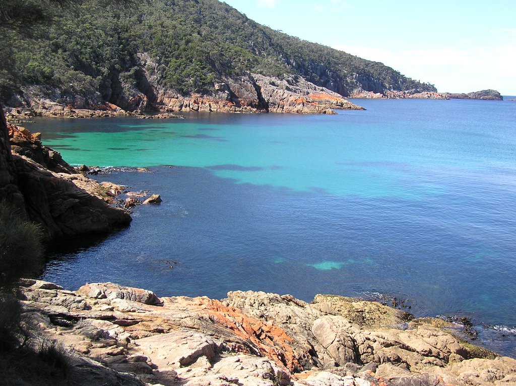
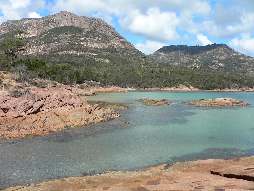
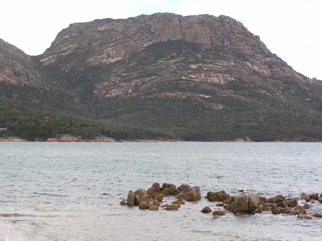
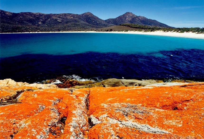
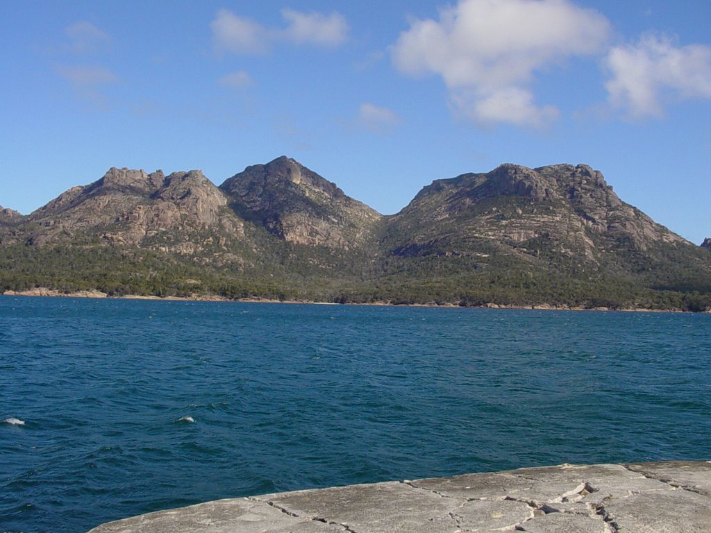
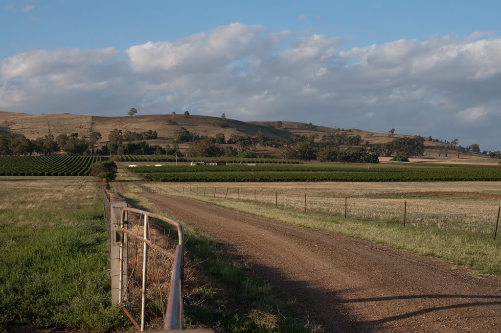
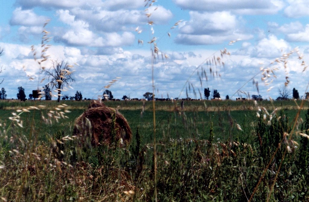
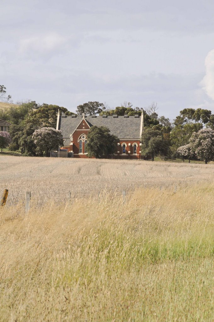
Photos of Coles Bay
Coles Bay Weather

Predicción: Overcast clouds
Temperatura: 11.3°
Humedad: 79%
Hora actual: 12:00 AM
Amanece: 08:40 PM
Anochece: 07:32 AM
Cosgrove, Australia
Latitude: -36.3475 // Longitude: 145.632
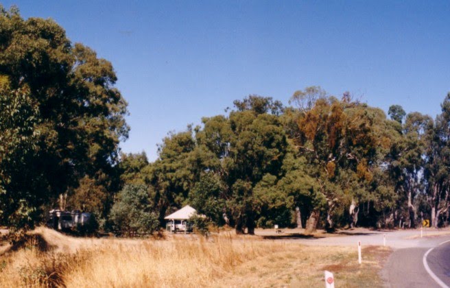
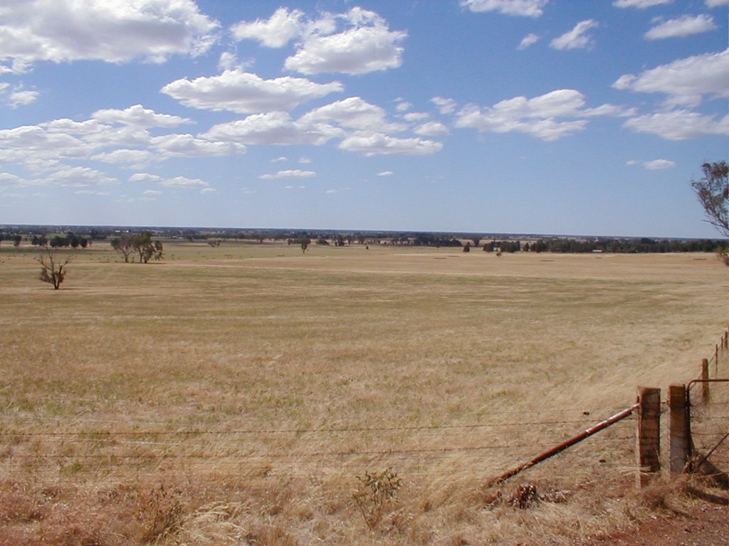
Photos of Cosgrove
Cosgrove Weather

Predicción: Overcast clouds
Temperatura: 11.1°
Humedad: 79%
Hora actual: 12:00 AM
Amanece: 08:43 PM
Anochece: 07:50 AM


