
Distance between  Colbinabbin and
  Gannawarra
68.95 mi Straight Distance
80.36 mi Driving Distance
1 hour 27 mins Estimated Driving Time
The straight distance between Colbinabbin (Victoria) and Gannawarra (Victoria) is 68.95 mi, but the driving distance is 80.36 mi.
It takes 1 hour 36 mins to go from Colbinabbin to Gannawarra.
Driving directions from Colbinabbin to Gannawarra
Distance in kilometers
Straight distance: 110.94 km. Route distance: 129.30 km
Colbinabbin, Australia
Latitude: -36.5903 // Longitude: 144.795
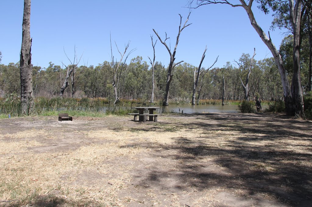
Photos of Colbinabbin


Colbinabbin Weather

Predicción: Scattered clouds
Temperatura: 18.5°
Humedad: 41%
Hora actual: 12:00 AM
Amanece: 08:49 PM
Anochece: 07:50 AM
Gannawarra, Australia
Latitude: -35.7336 // Longitude: 144.161
Photos of Gannawarra


Gannawarra Weather

Predicción: Clear sky
Temperatura: 18.7°
Humedad: 40%
Hora actual: 12:00 AM
Amanece: 08:50 PM
Anochece: 07:54 AM


