Distance between  Coen and
  Koolyanobbing
1,902.21 mi Straight Distance
2,906.14 mi Driving Distance
2 days 9 hours Estimated Driving Time
The straight distance between Coen (Queensland) and Koolyanobbing (Western Australia) is 1,902.21 mi, but the driving distance is 2,906.14 mi.
It takes to go from Coen to Koolyanobbing.
Driving directions from Coen to Koolyanobbing
Distance in kilometers
Straight distance: 3,060.66 km. Route distance: 4,675.98 km
Coen, Australia
Latitude: -13.9453 // Longitude: 143.199
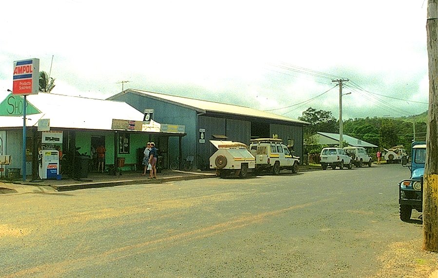
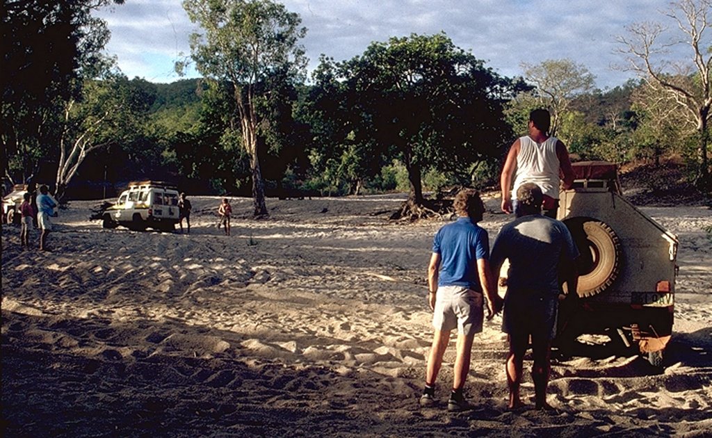
Photos of Coen
Coen Weather

Predicción: Broken clouds
Temperatura: 24.3°
Humedad: 94%
Hora actual: 12:00 AM
Amanece: 08:33 PM
Anochece: 08:19 AM
Koolyanobbing, Australia
Latitude: -30.82 // Longitude: 119.518
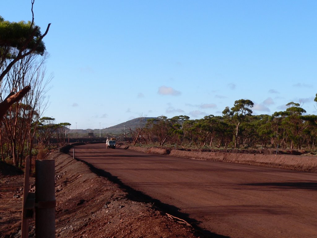
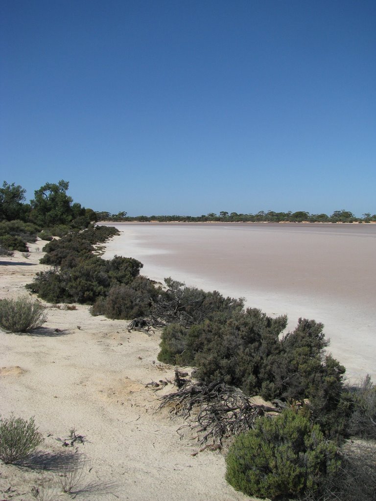
Photos of Koolyanobbing
Koolyanobbing Weather

Predicción: Clear sky
Temperatura: 20.9°
Humedad: 44%
Hora actual: 12:00 AM
Amanece: 10:22 PM
Anochece: 09:40 AM


